Explore In pictures
Pictures Old documents, maps and photographs of South Oxhey, from the 1860s to today. Tap a picture to open it full size.
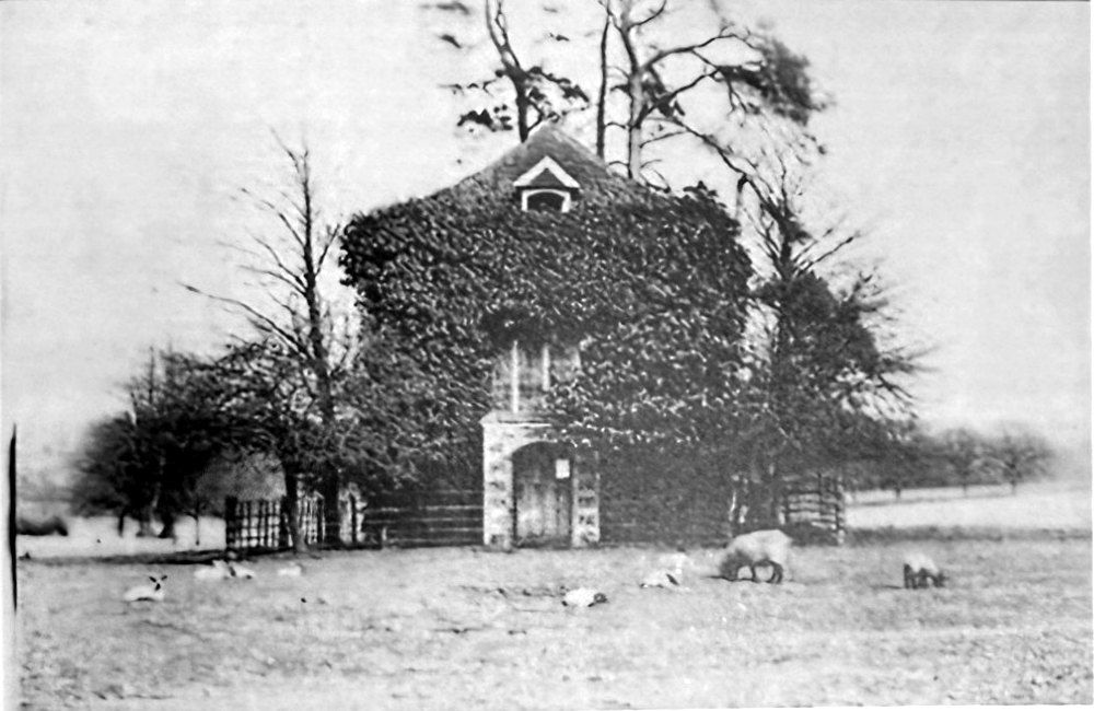
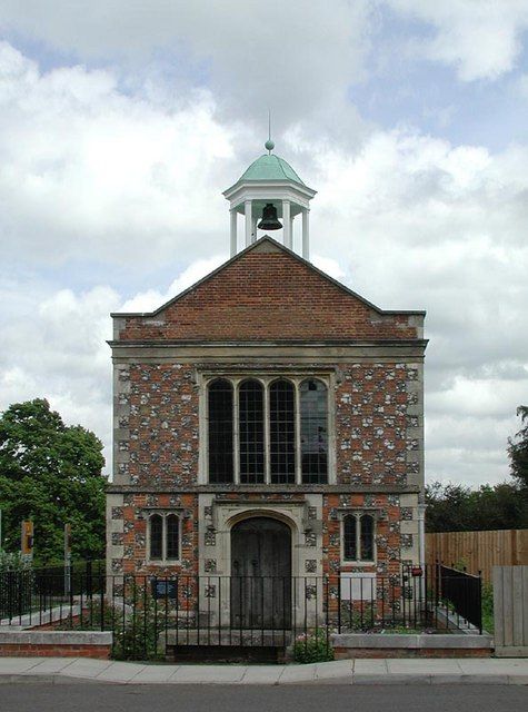
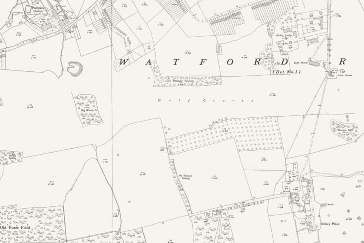
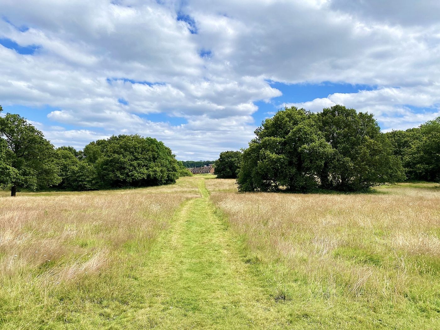
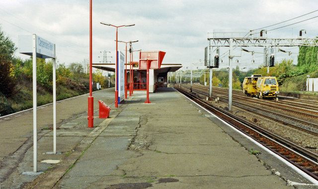
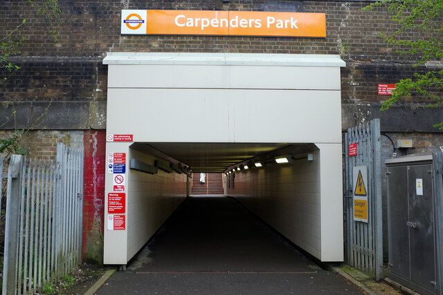
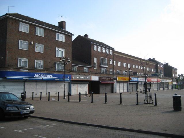
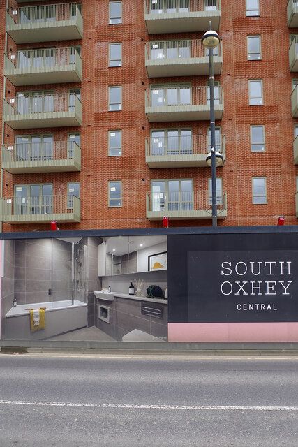
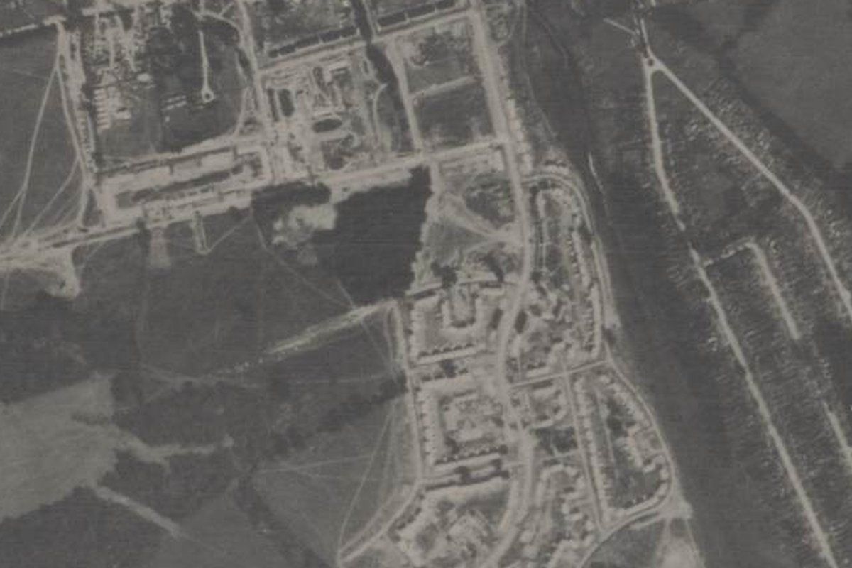
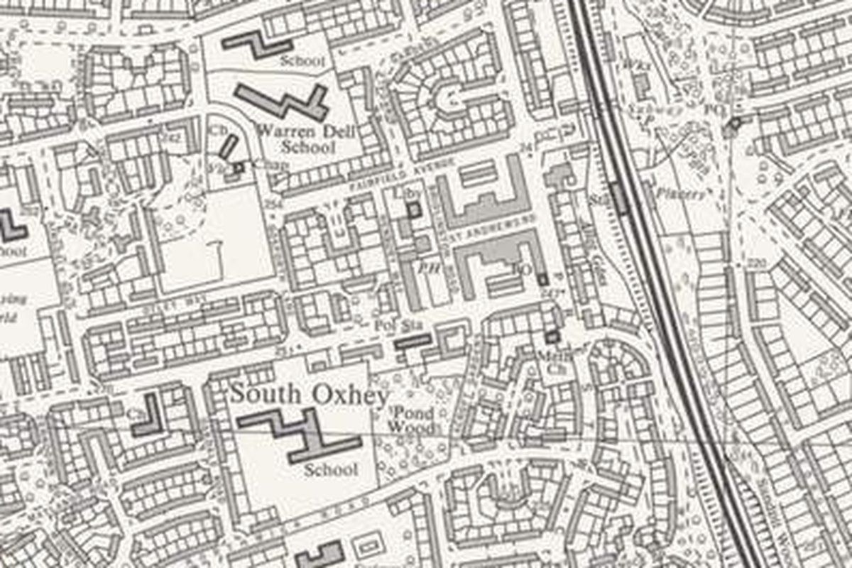
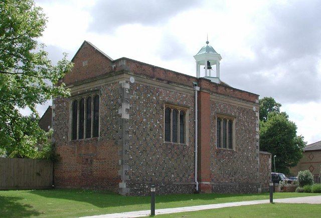
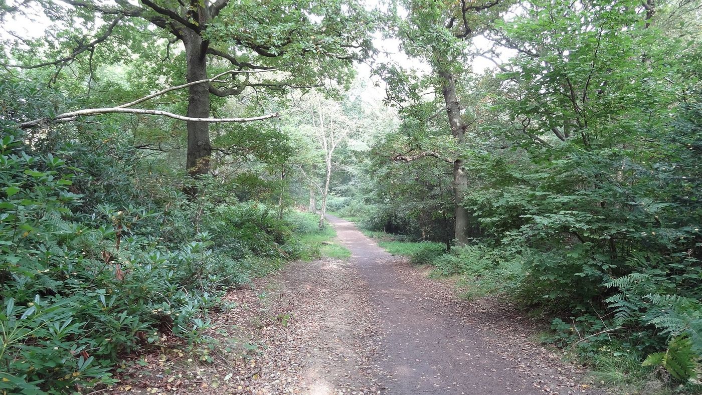
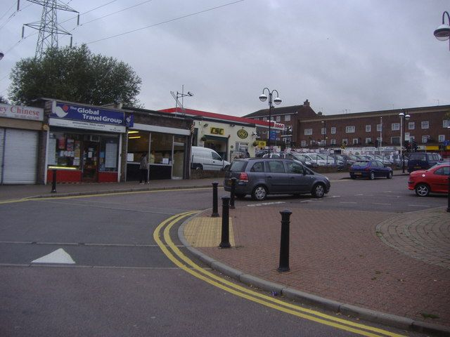
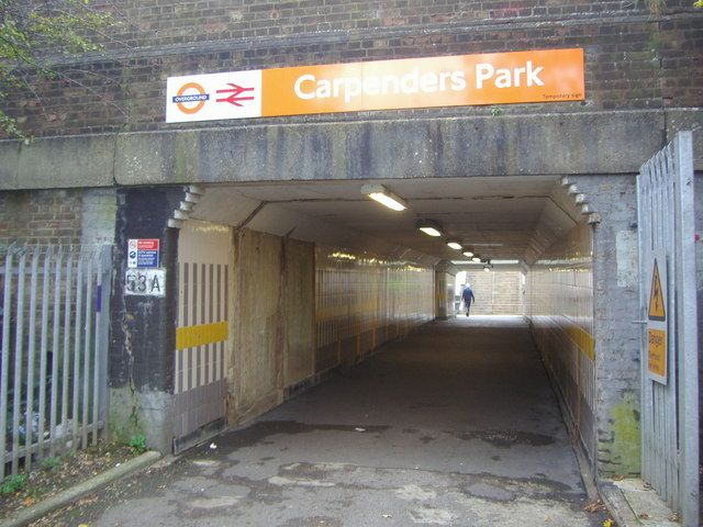
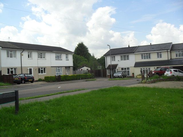
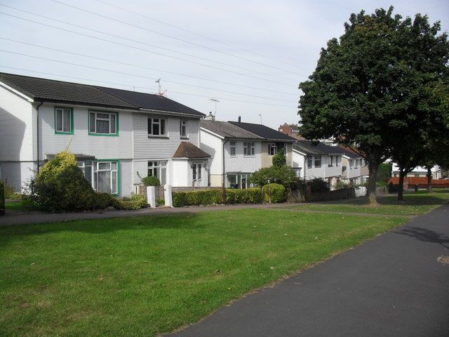
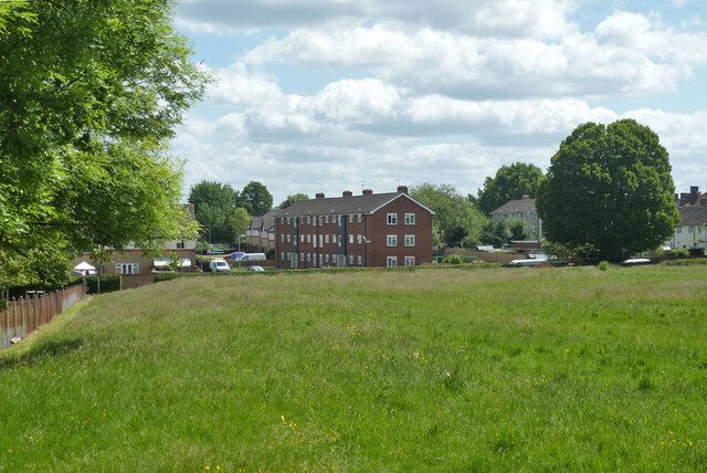
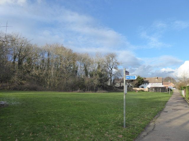
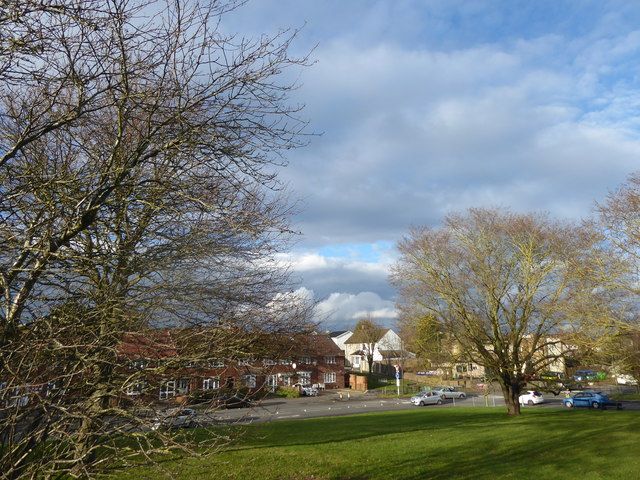
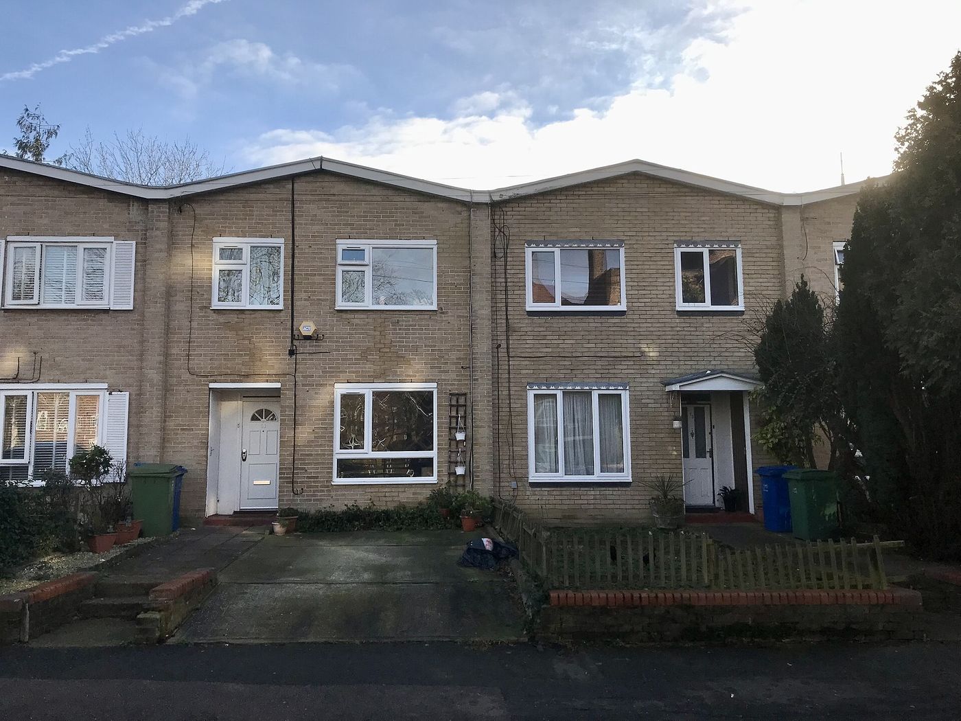
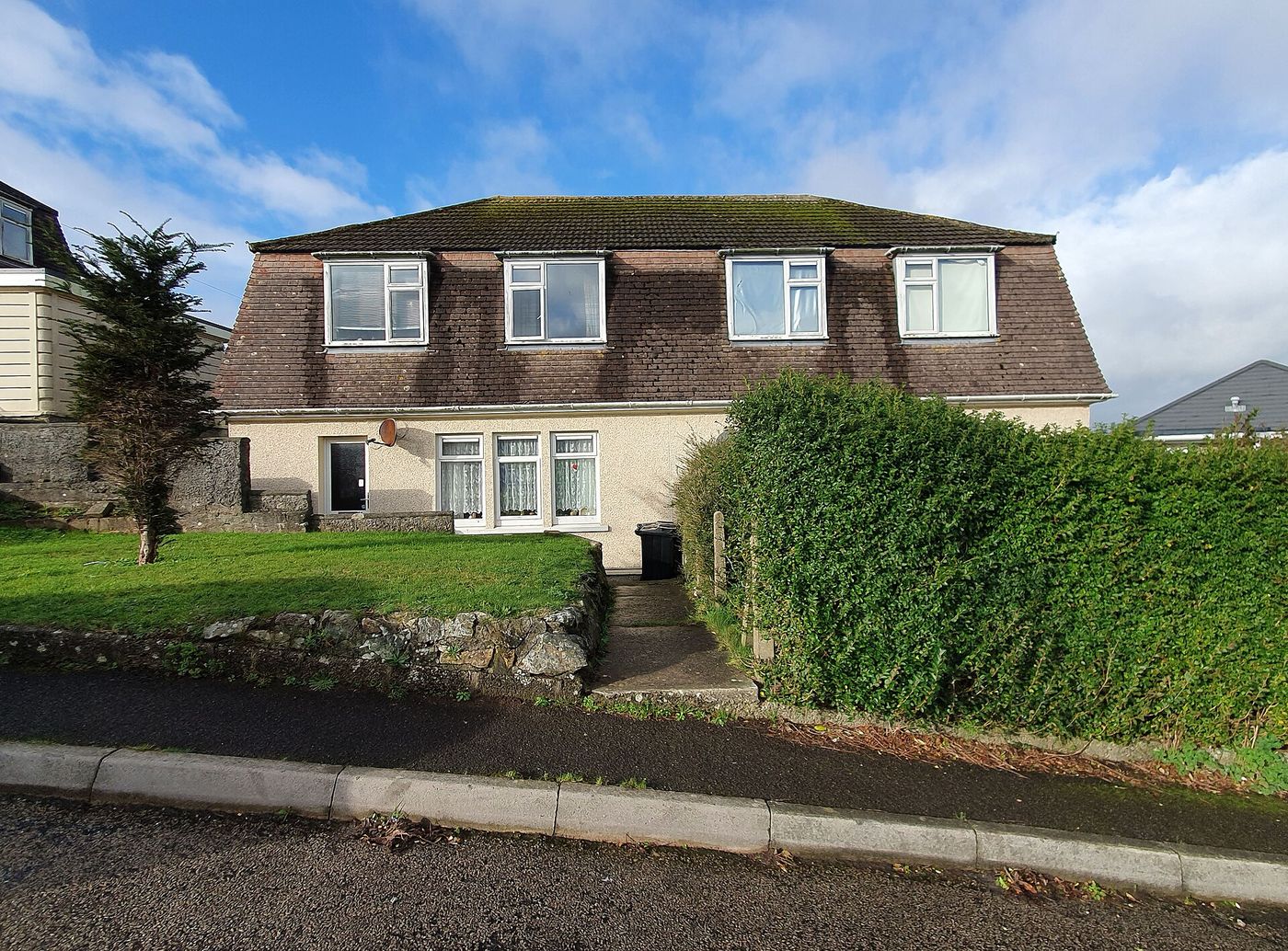
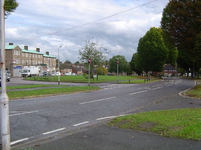
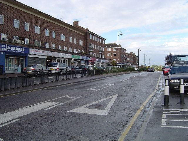
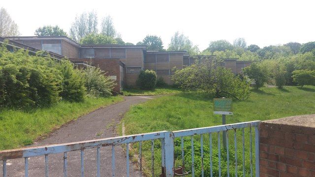
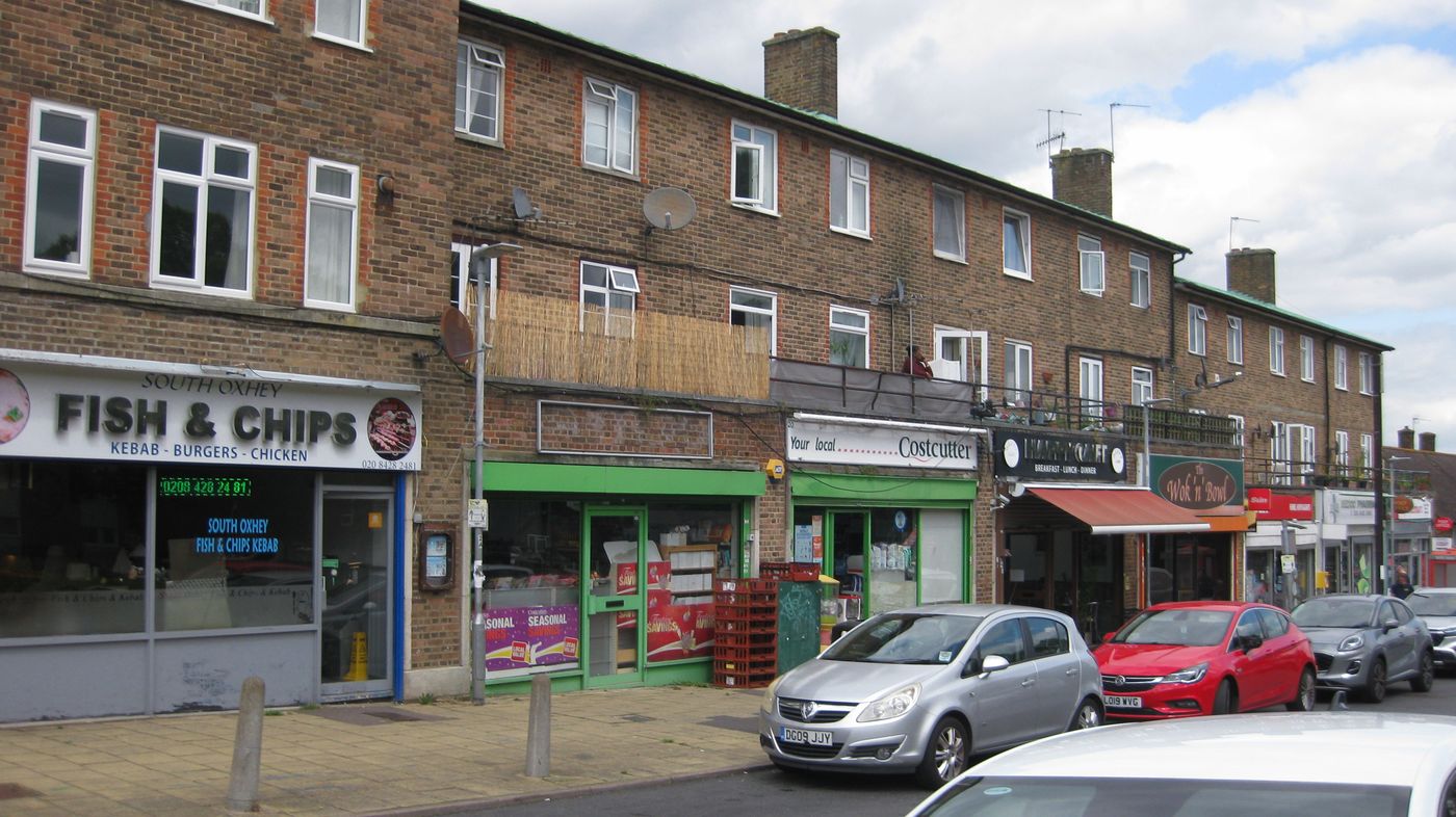
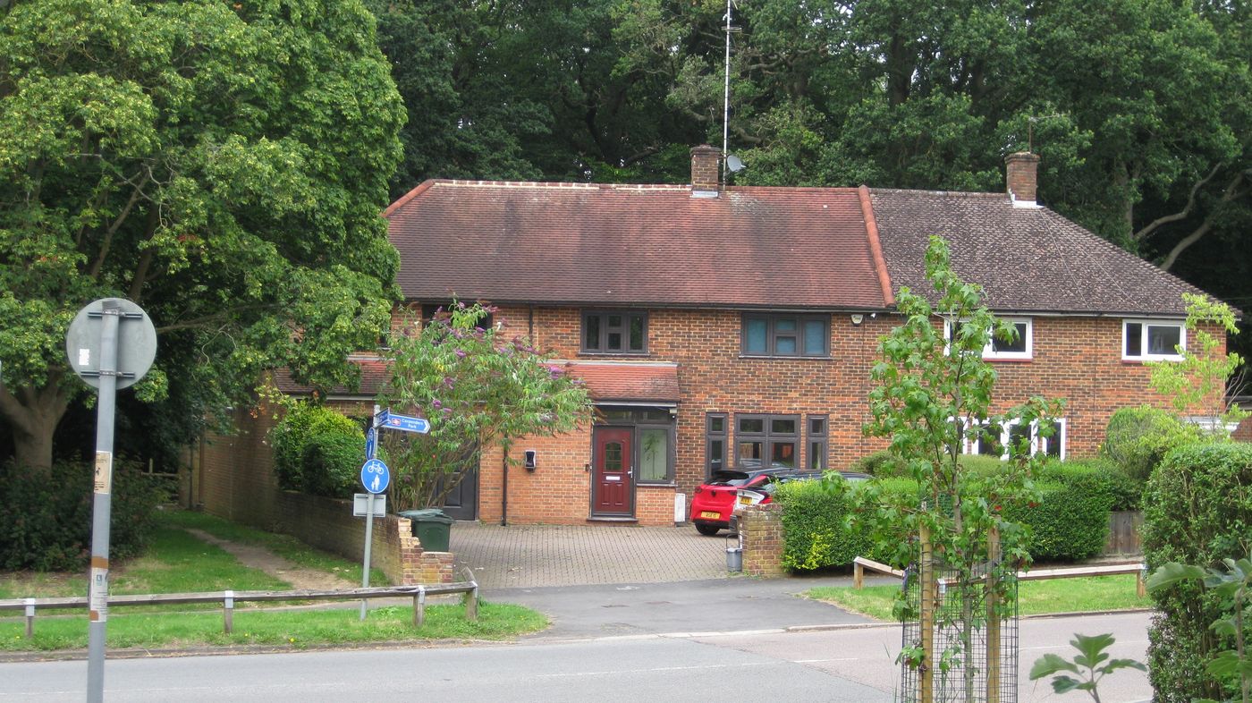
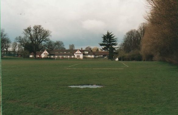
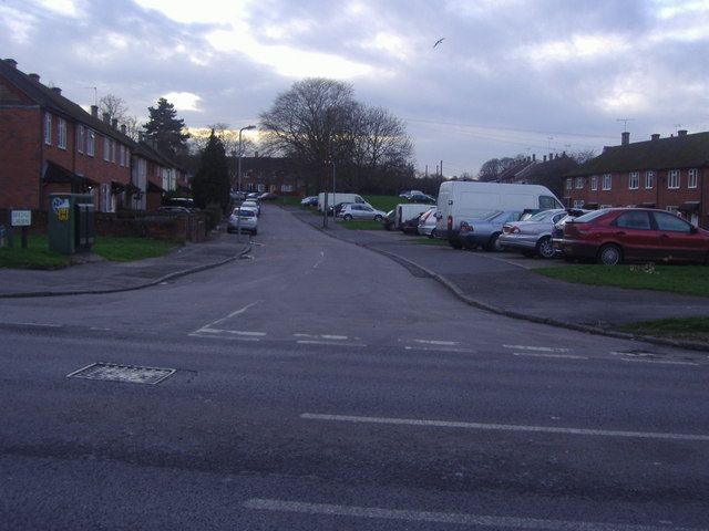
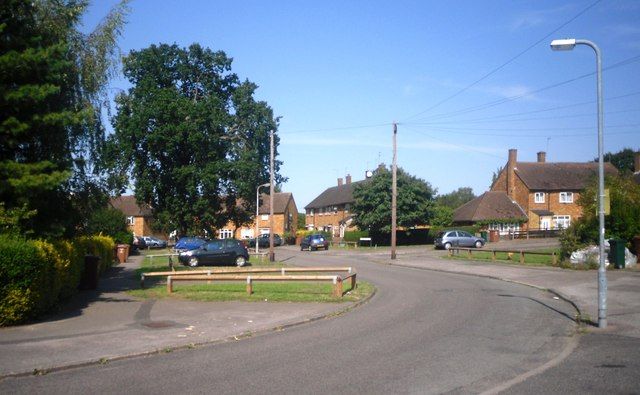
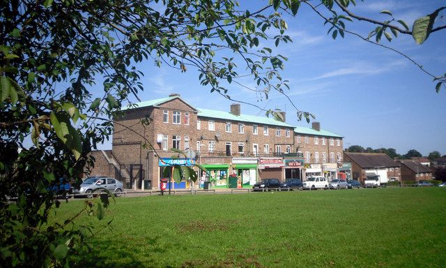
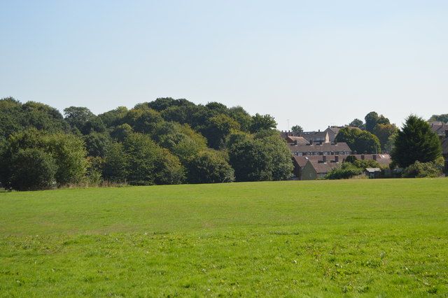
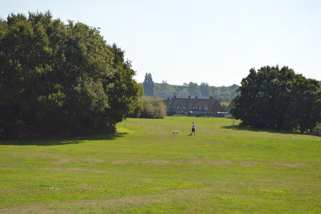
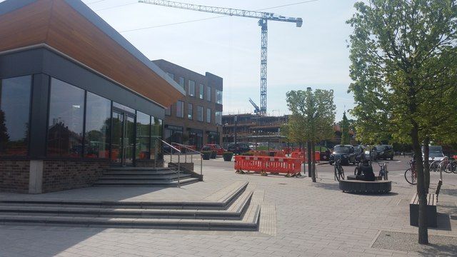
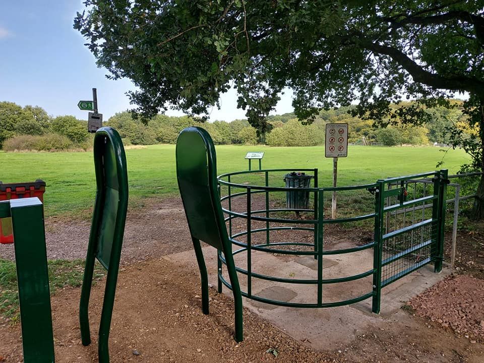
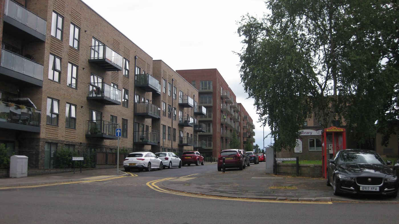
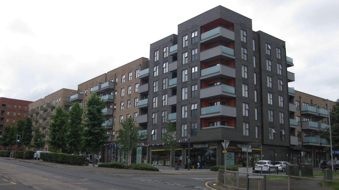
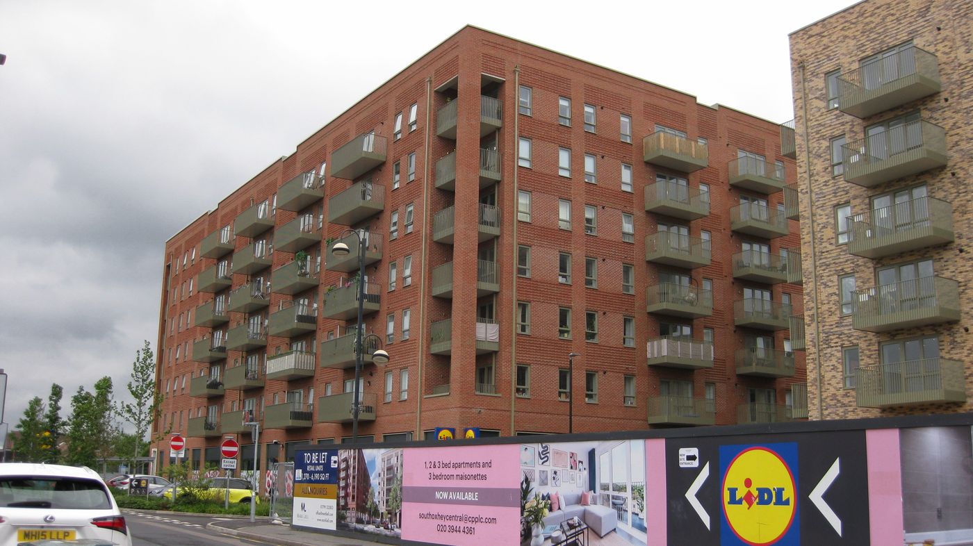
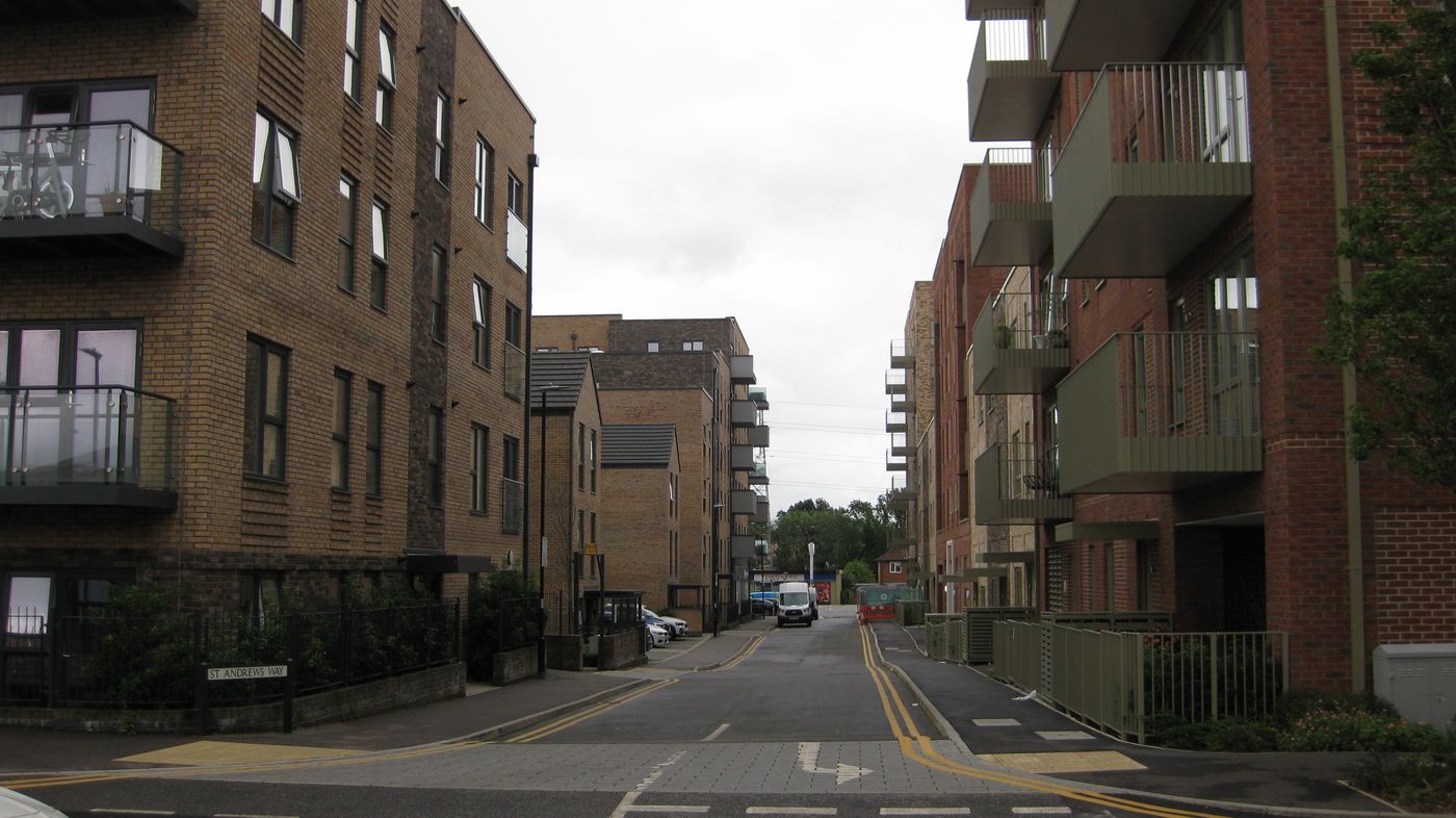
Then and now Then Now Oxhey Chapel. Buried in ivy around 1897, and in 2003 after the 1960s restoration gave it a new roof, bell turret and cupola. Read more → Photographer unknown, as reproduced in Poor But Proud: A History of South Oxhey (2012), p. 79 (Out of copyright) · © John Salmon, Geograph (CC BY-SA 2.0 ) Then Now The golf course ground. Oxhey Golf Club on the Ordnance Survey of 1935, and the same ground as South Oxhey Playing Fields in 2024. Read more → 25-inch map, revised 1935. Ordnance Survey, reproduced with the permission of the National Library of Scotland (CC BY 4.0 ) · argoreham, via Wikimedia Commons (CC0 )Then Now Carpenders Park station. The 1952 station in 1990, and the same station's entrance and foot tunnel in 2022. Read more → © Ben Brooksbank, Geograph (CC BY-SA 2.0 ) · © Stephen McKay, Geograph (CC BY-SA 2.0 )Then Now The town centre. The St Andrew's Road precinct in 2009, and South Oxhey Central going up on the same ground in 2022. Read more → © Nigel Cox, Geograph (CC BY-SA 2.0 ) · © Stephen McKay, Geograph (CC BY-SA 2.0 )Then Later The estate from above. The first streets going up beside the railway in 1948, and the finished estate on the maps of the 1960s. Read more → Ordnance Survey air photo mosaic, September 1948. Reproduced with the permission of the National Library of Scotland (CC BY 4.0 ) · 1:10,560 map, revised 1958 to 1967. Ordnance Survey, reproduced with the permission of the National Library of Scotland (CC BY 4.0 )All pictures Show All 178 Before the Estate 96 Building the Estate 30 Life on the Estate 15 Renewal 34 Around the estate 1
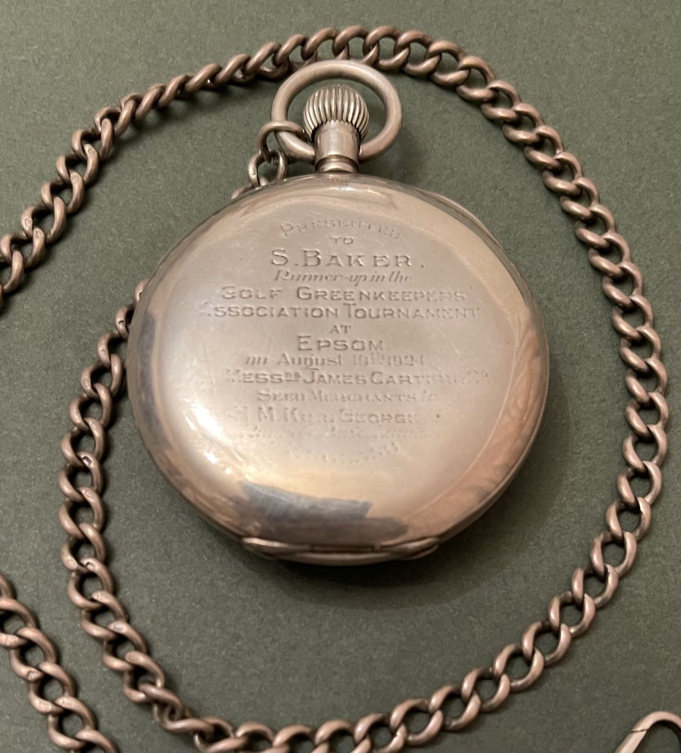
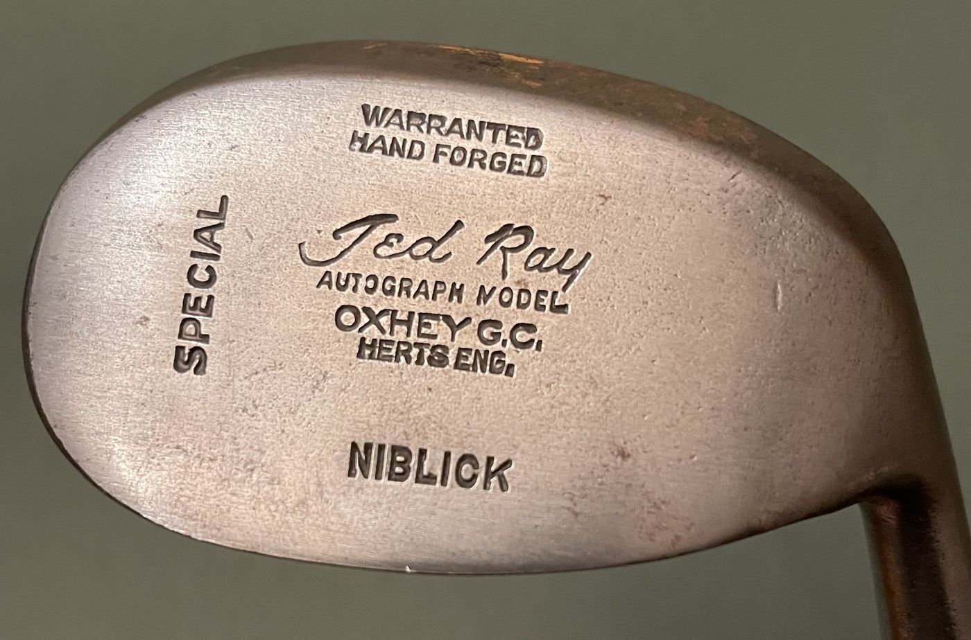
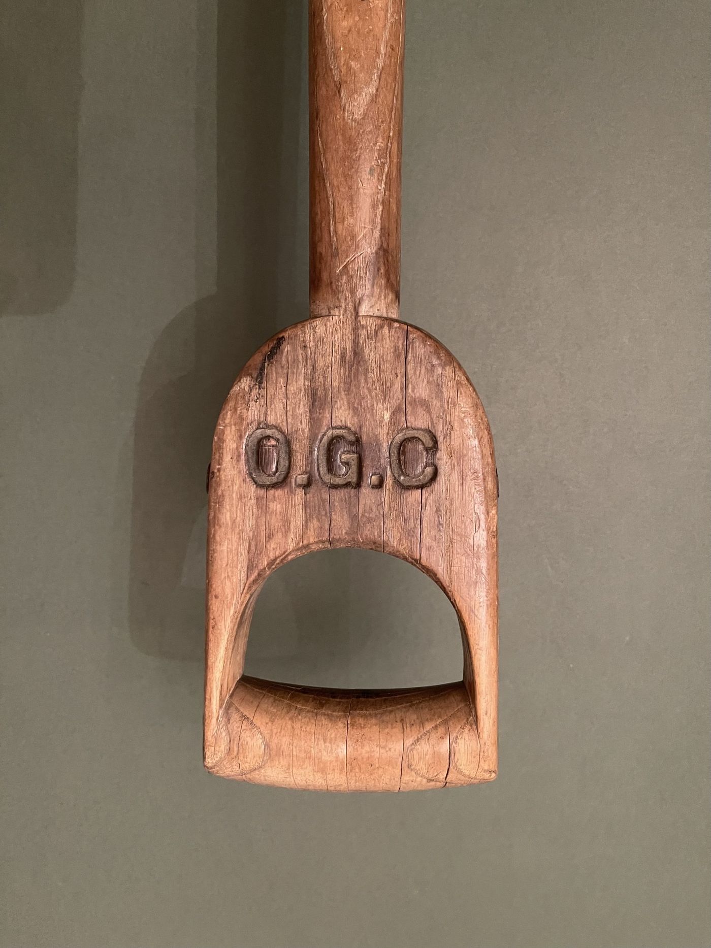
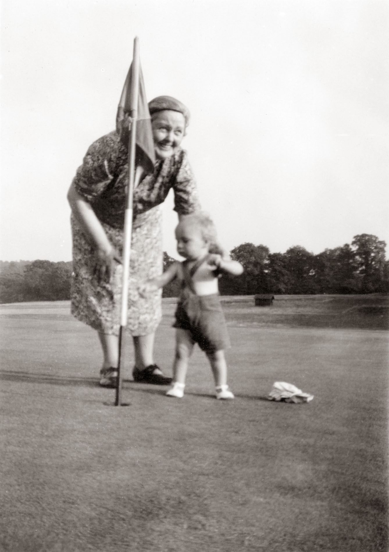
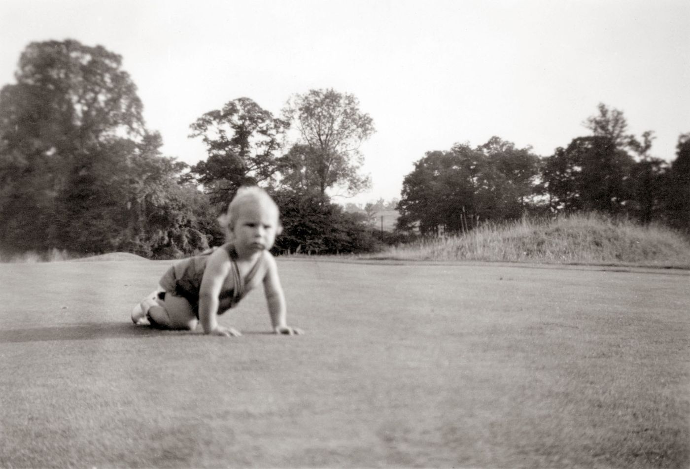
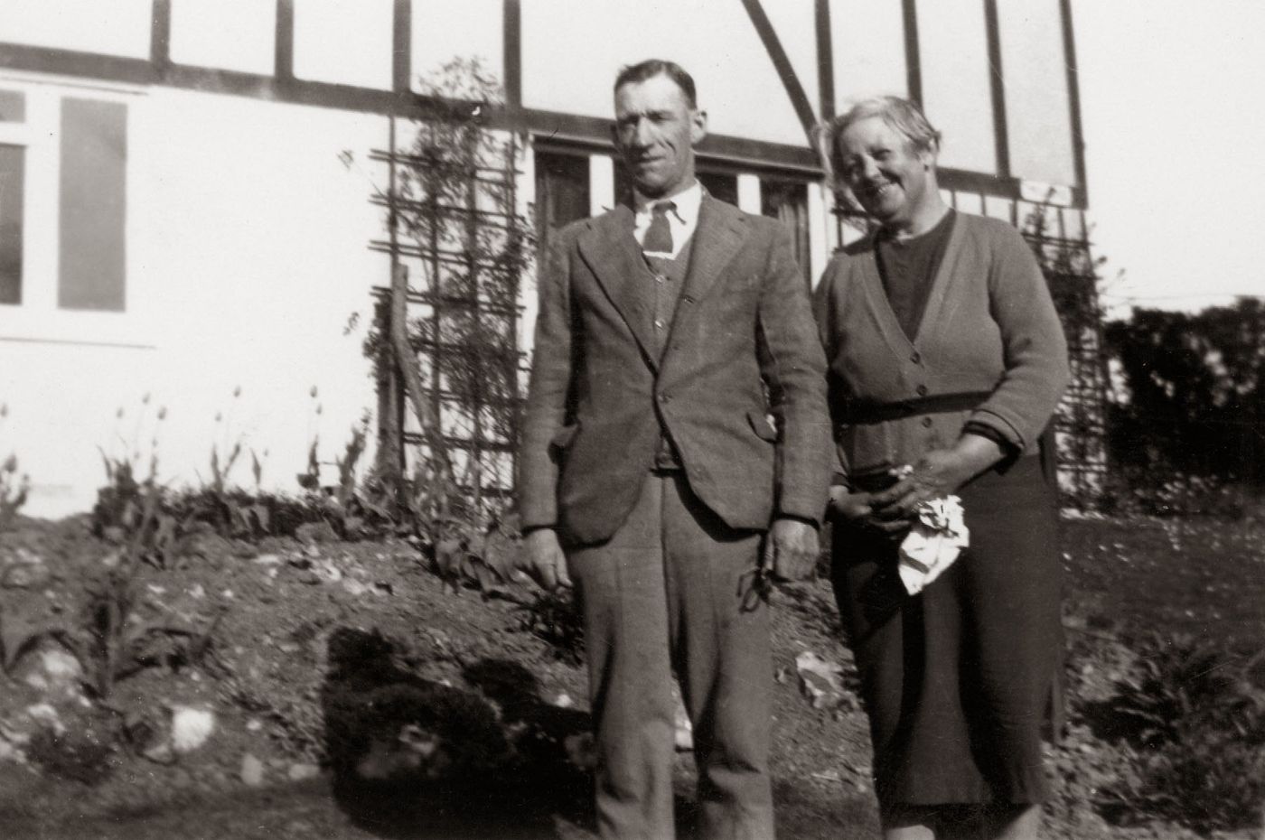
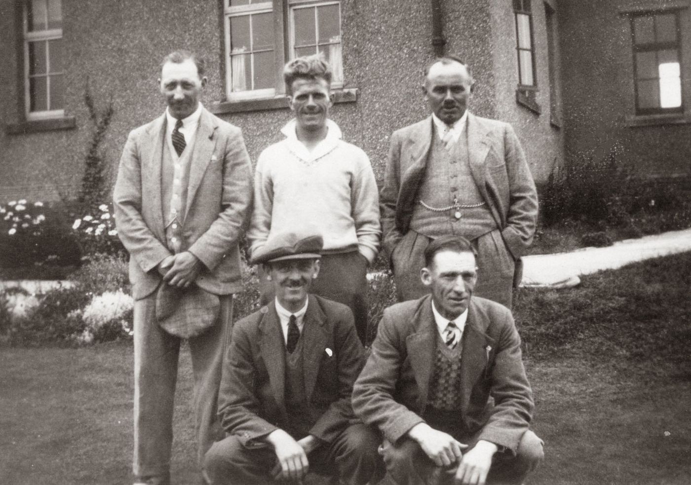
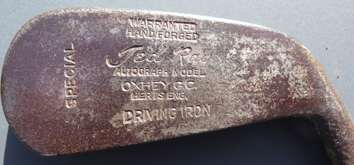
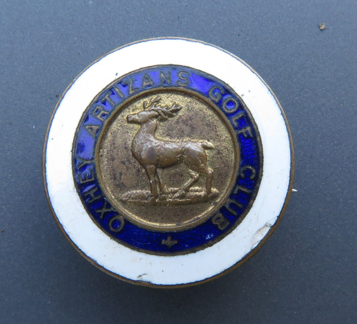
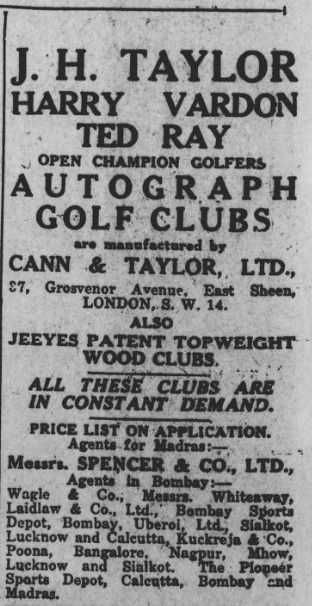
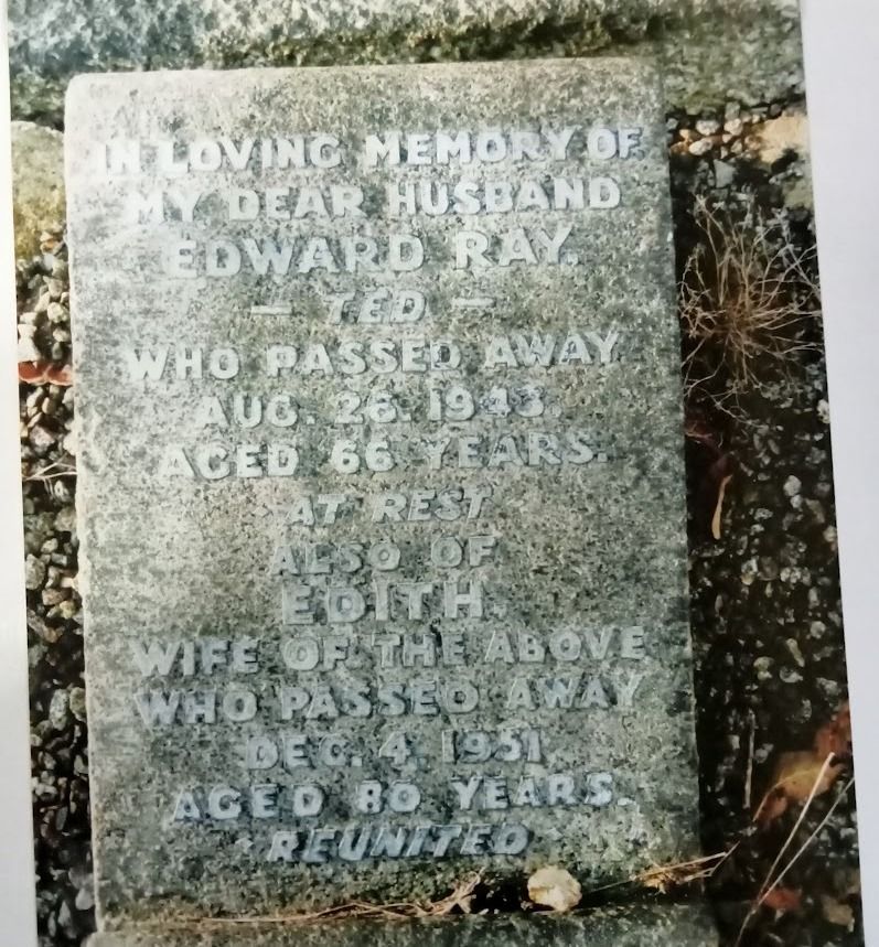
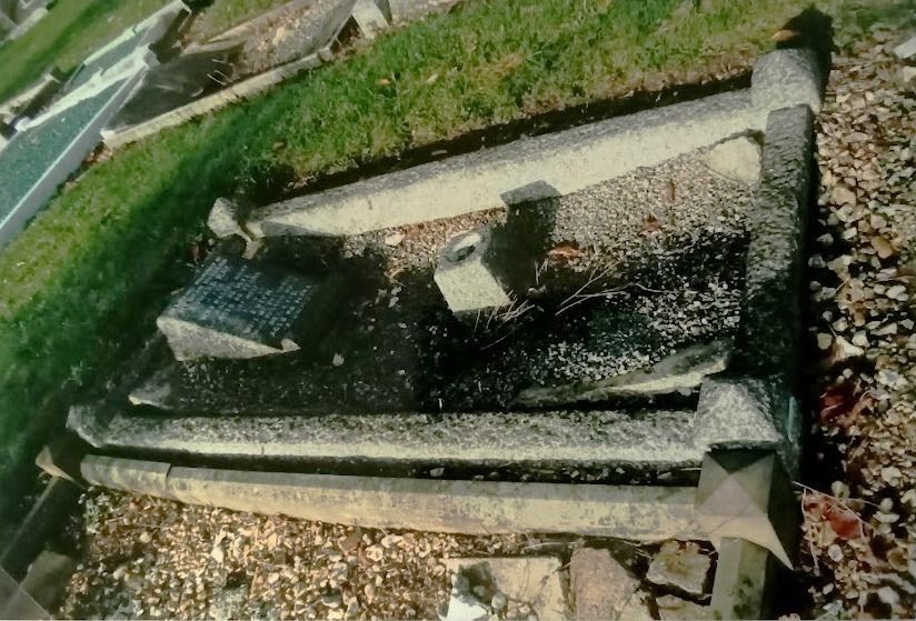
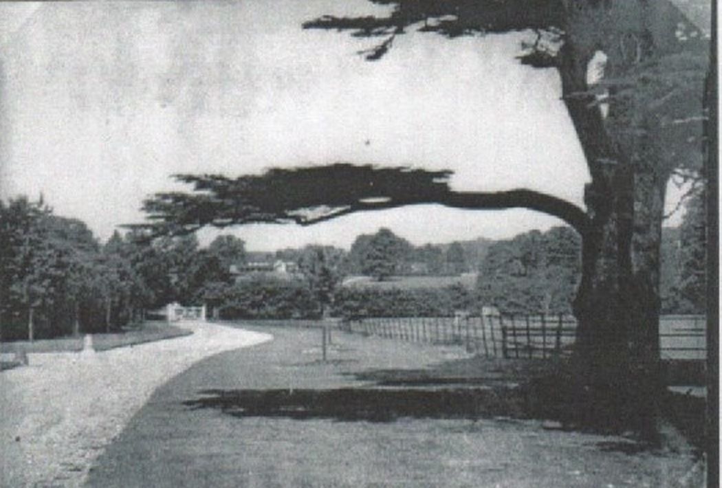
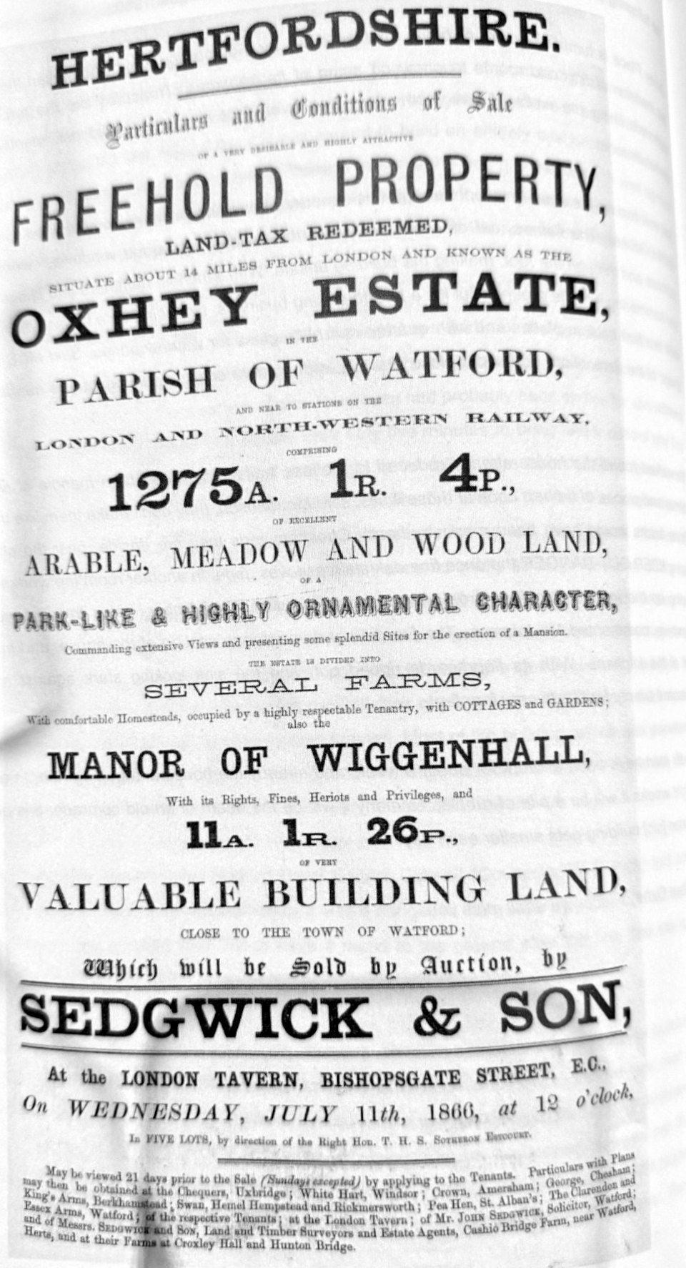
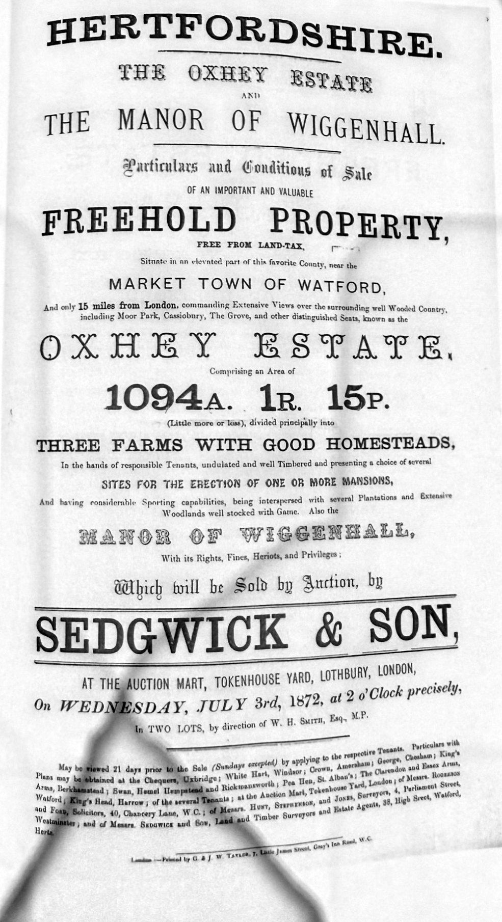
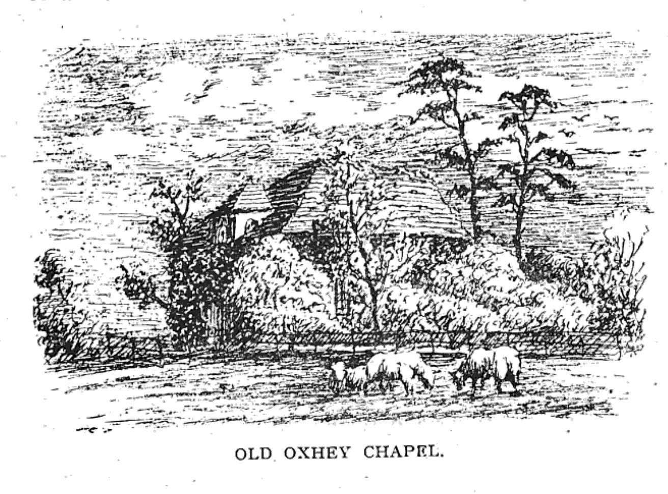
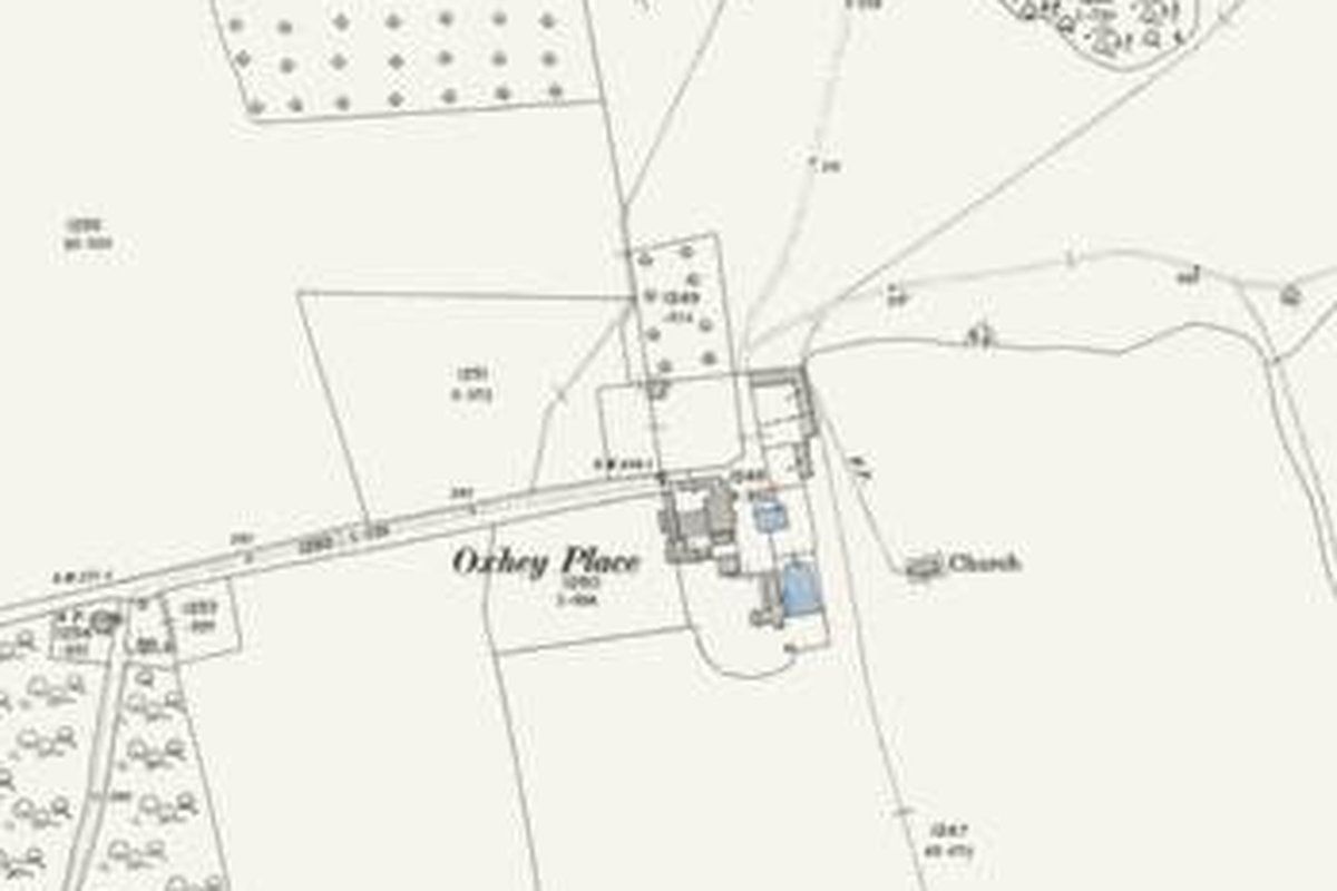
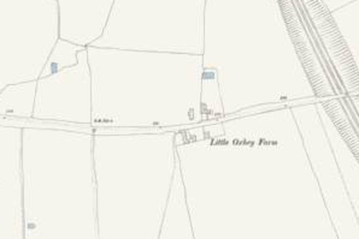
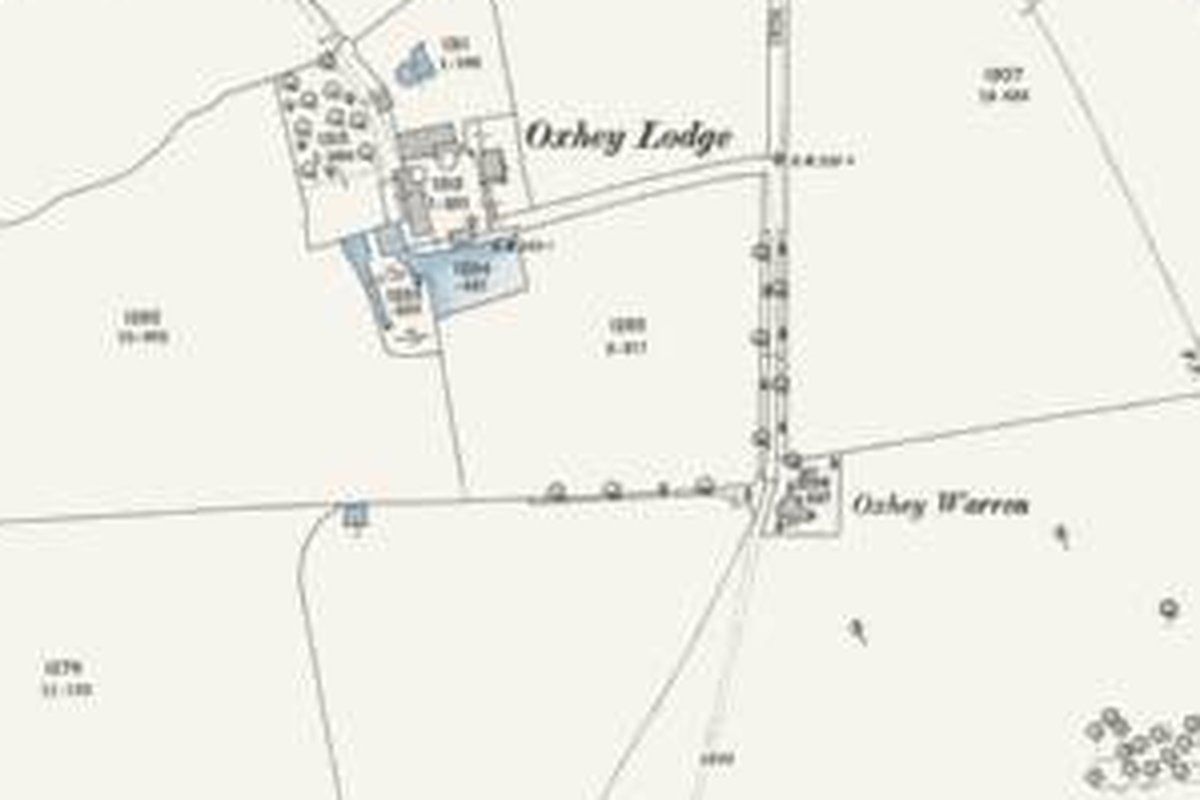
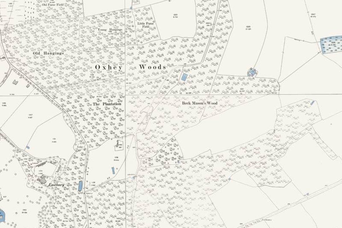
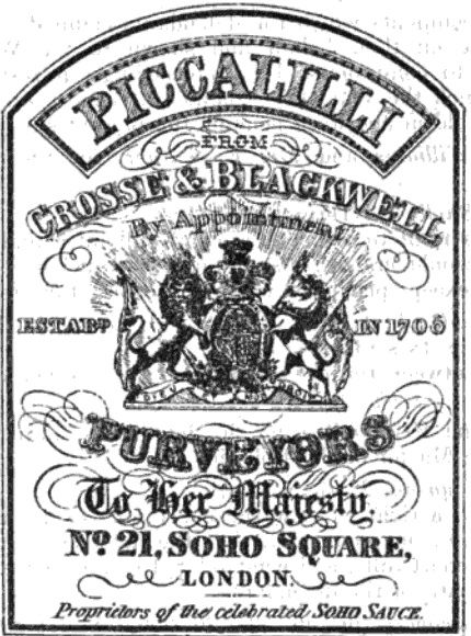
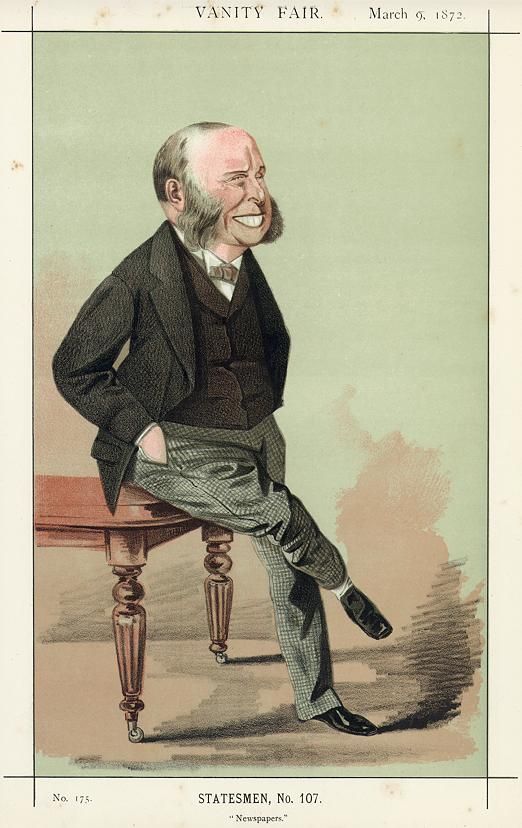
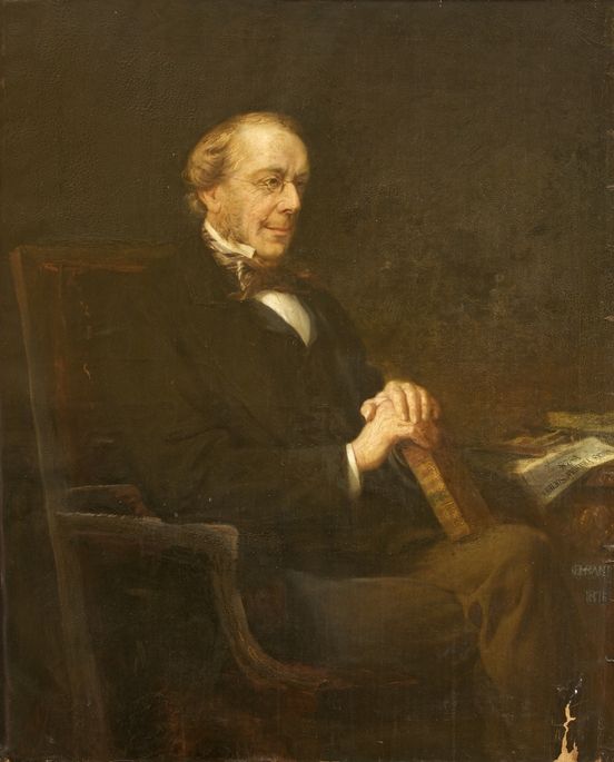
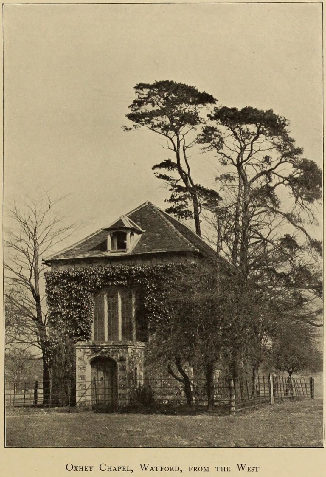
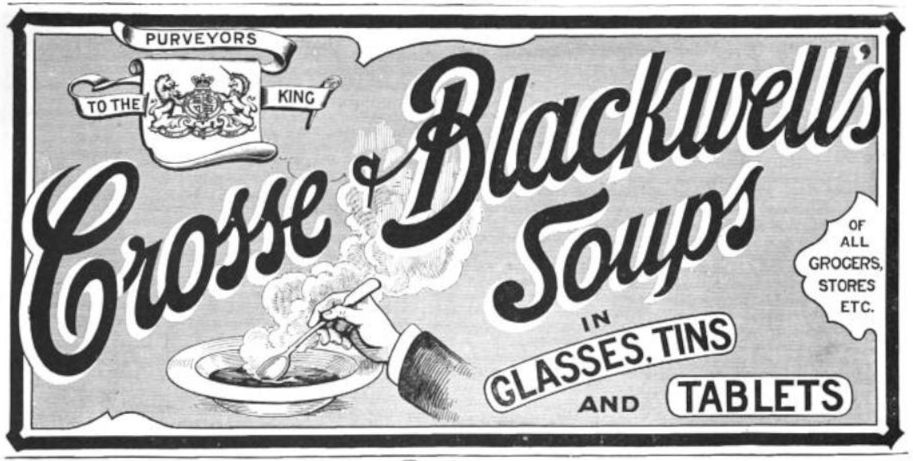
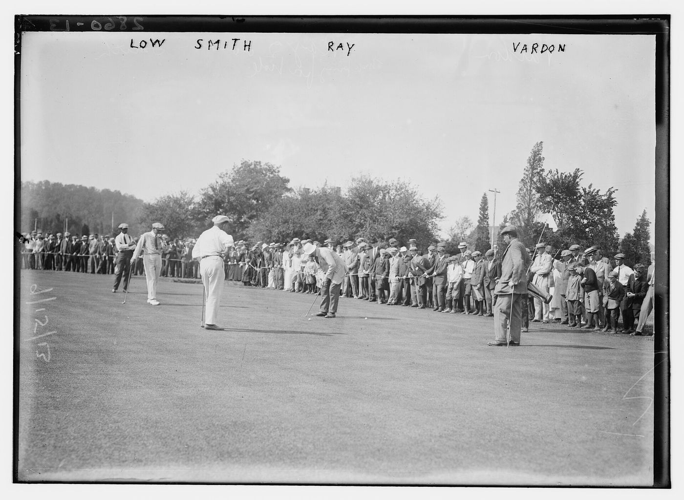
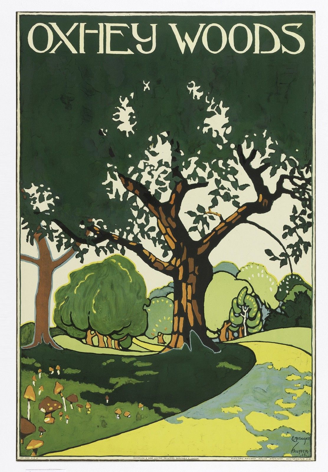
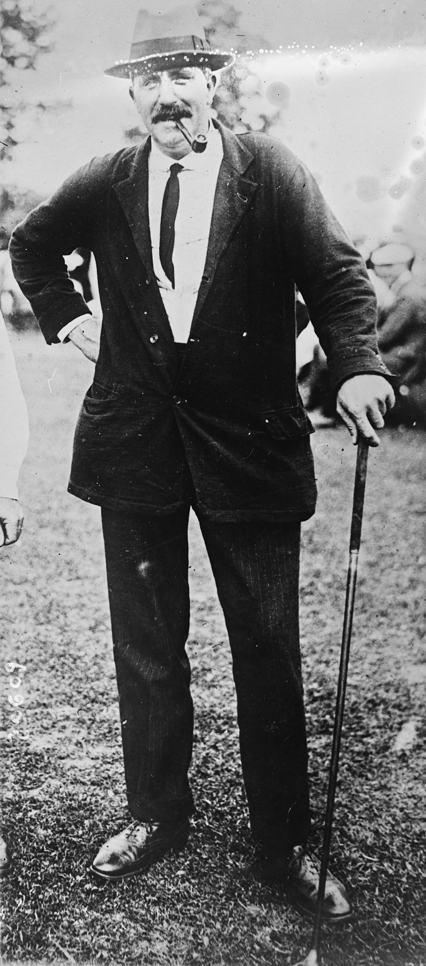
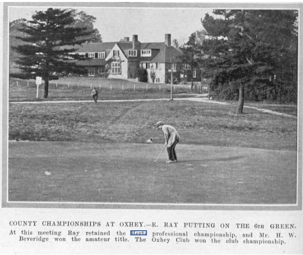
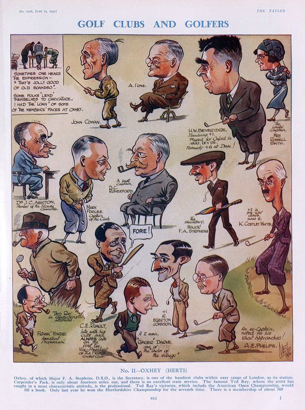
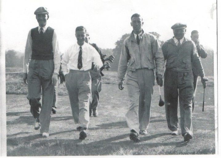
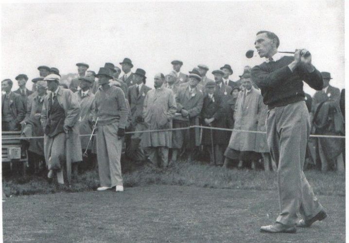
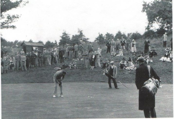
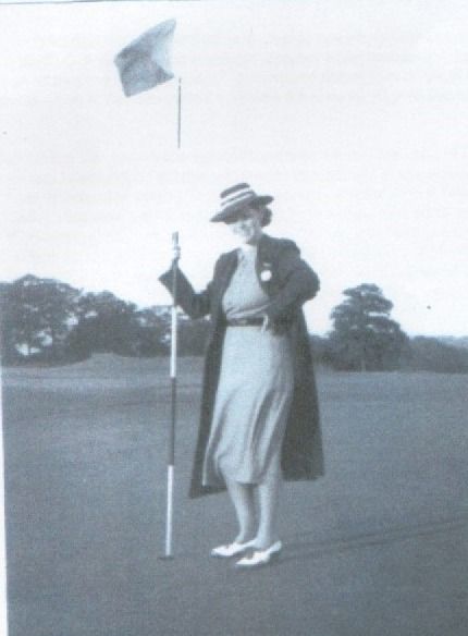
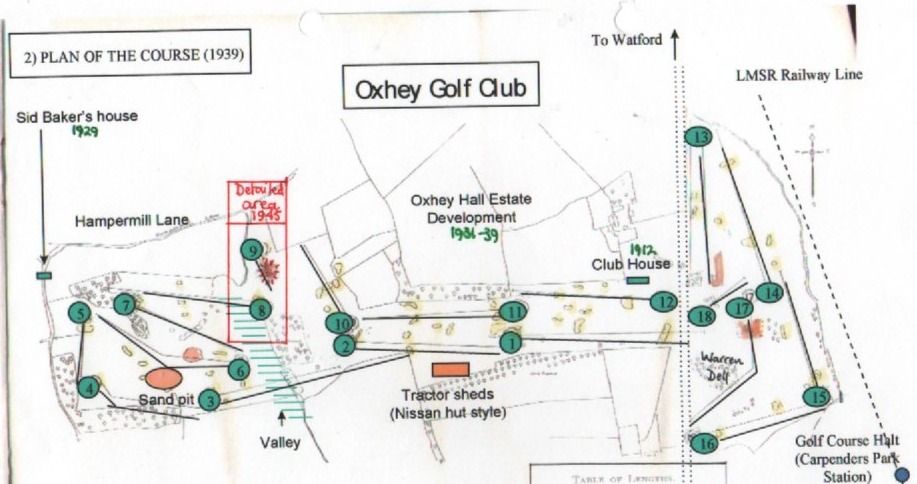
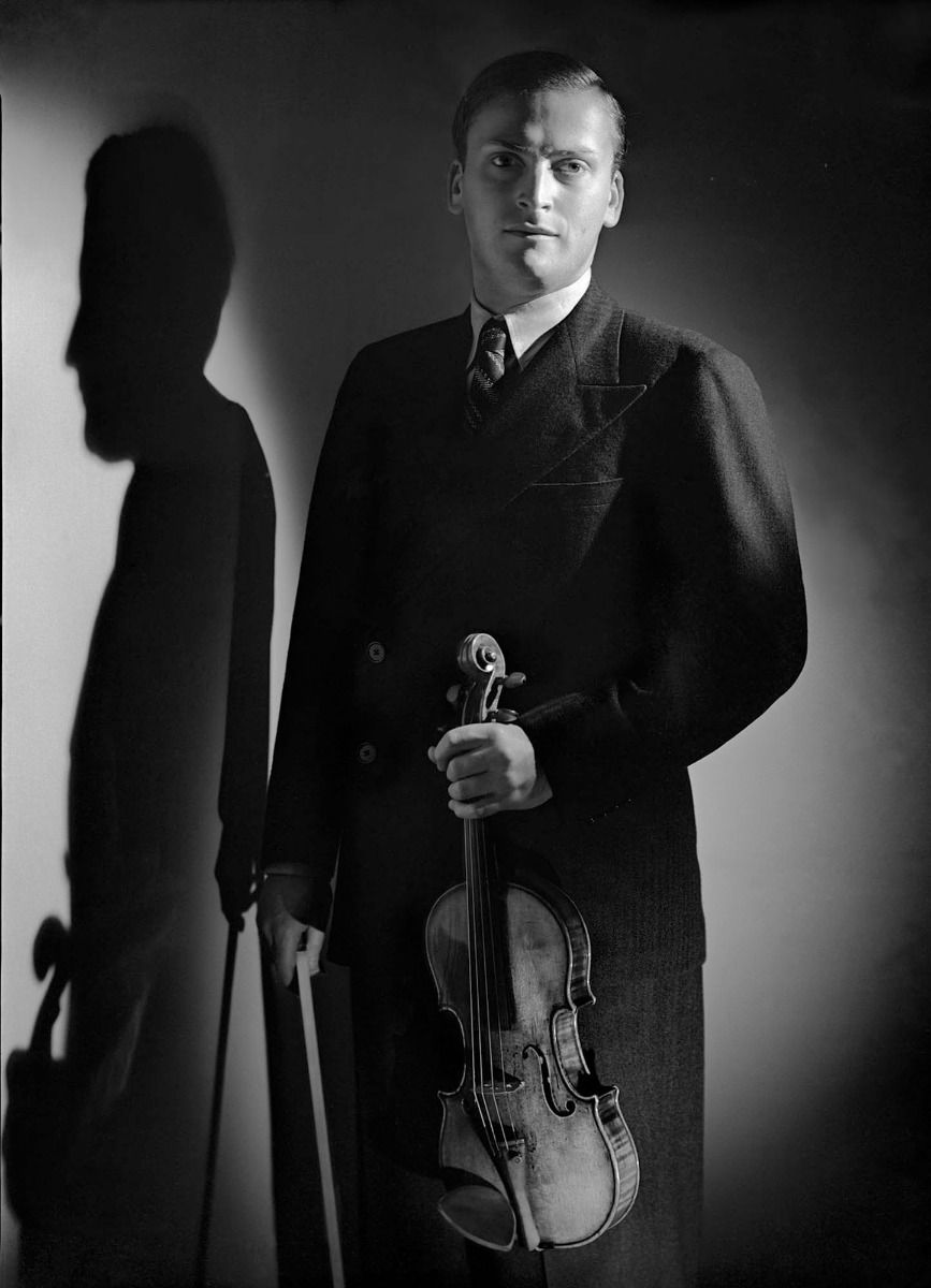
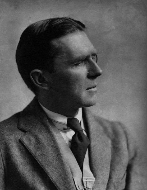
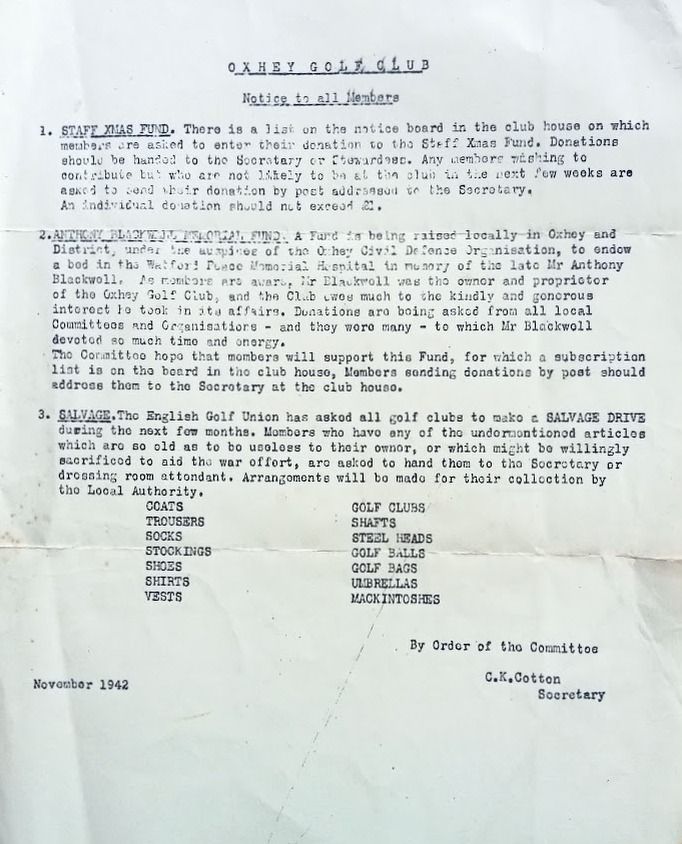
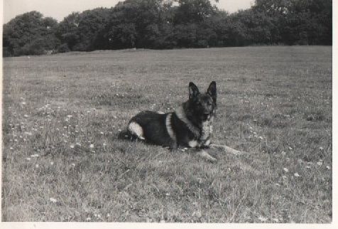
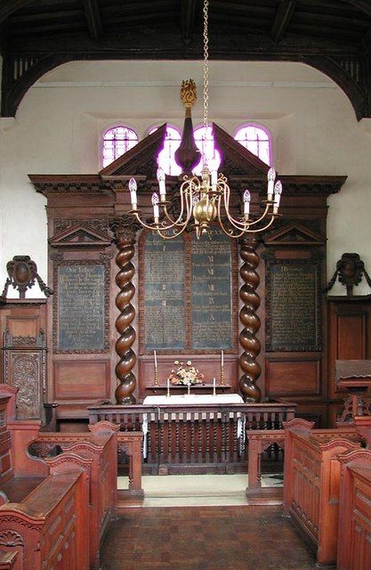
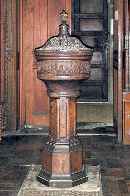
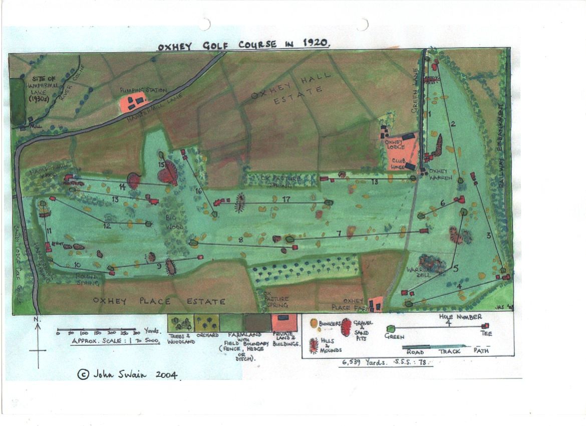
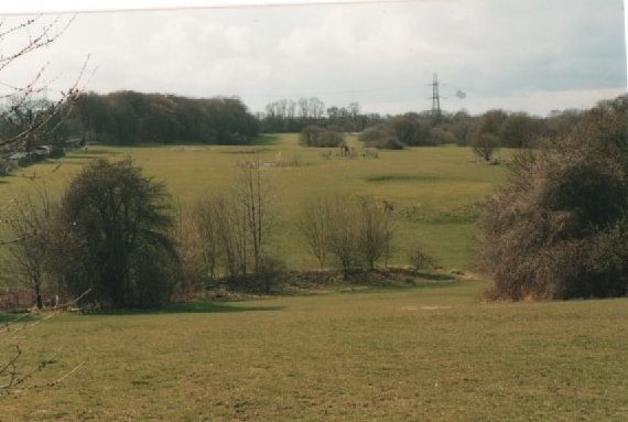
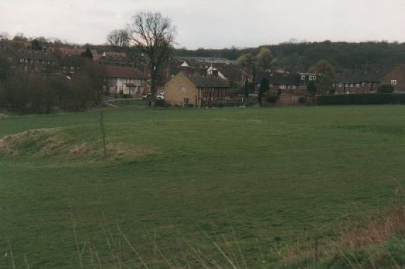
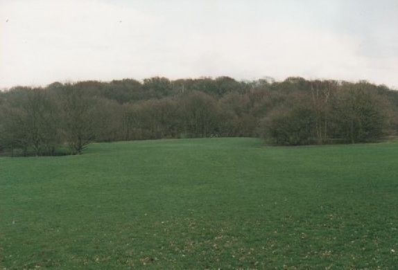
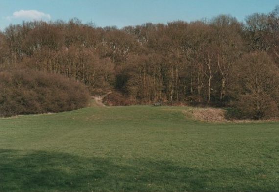
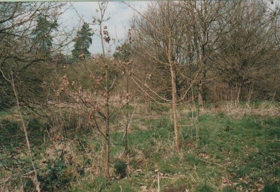
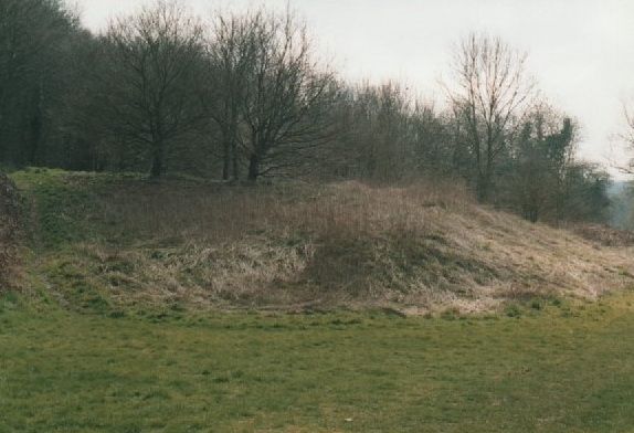
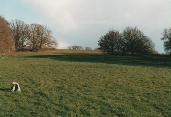
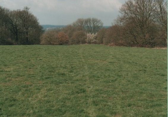
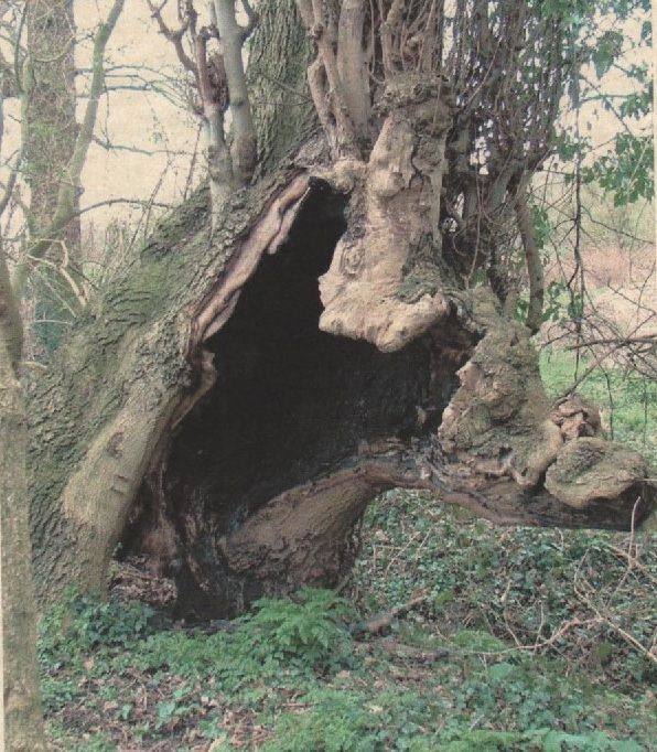
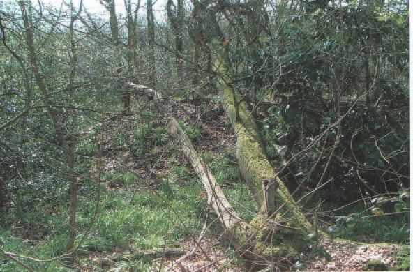
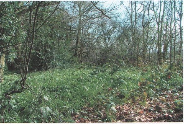
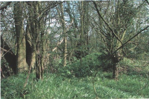
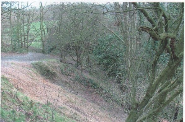
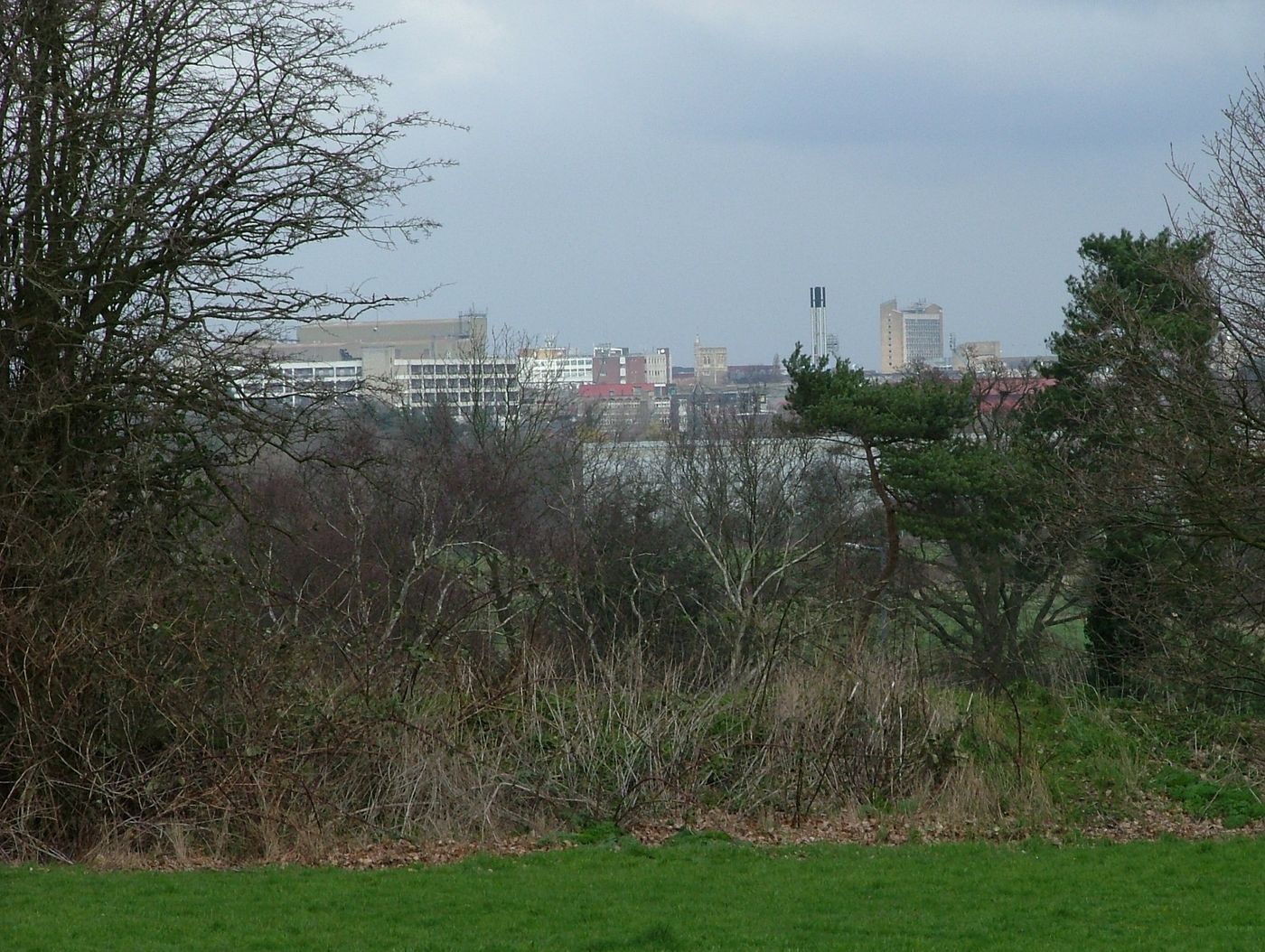
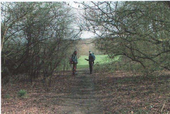
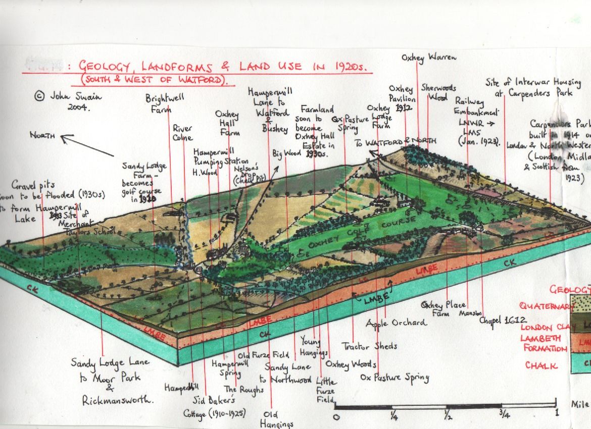
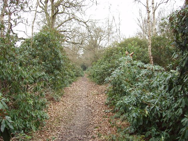
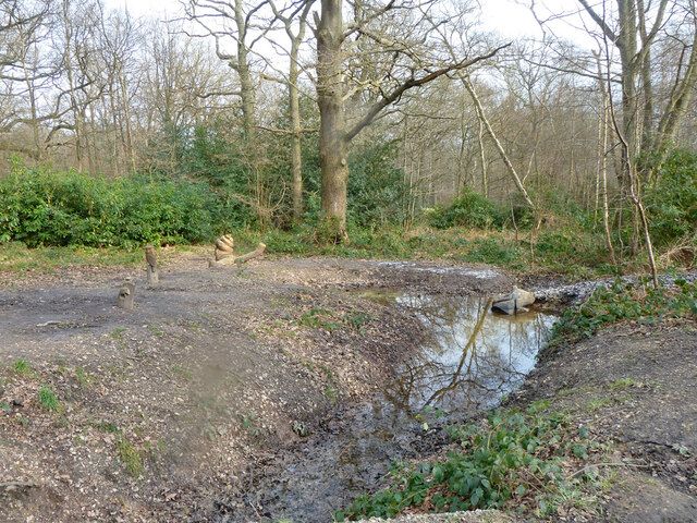
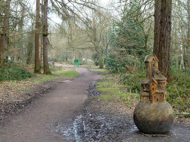
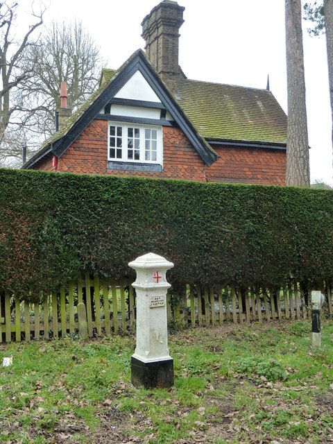
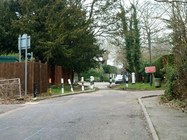
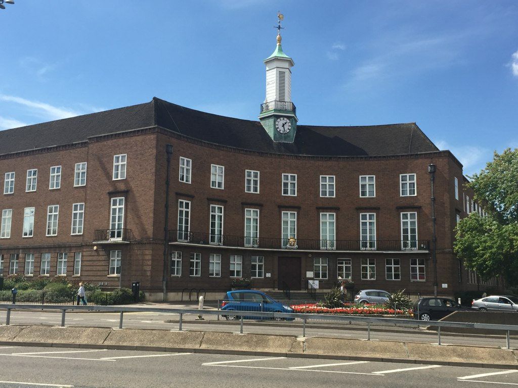
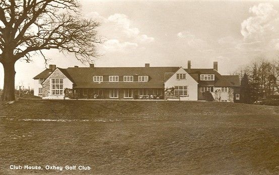
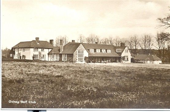
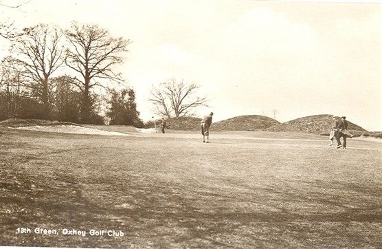
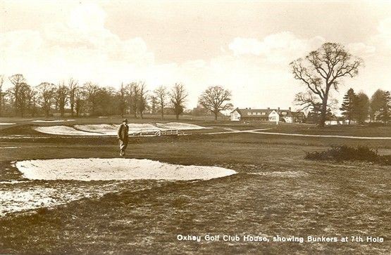
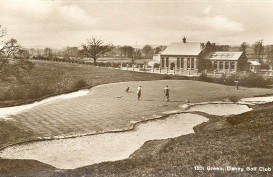
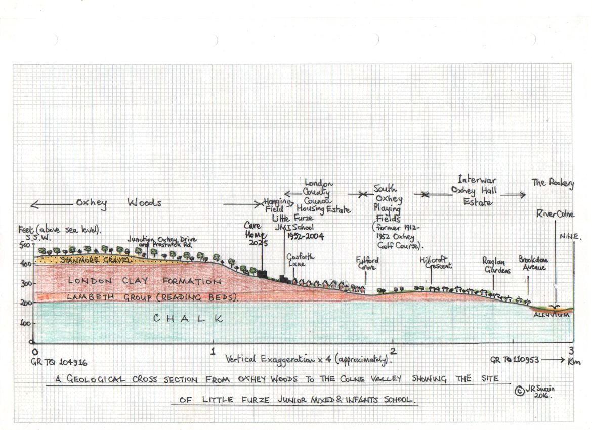
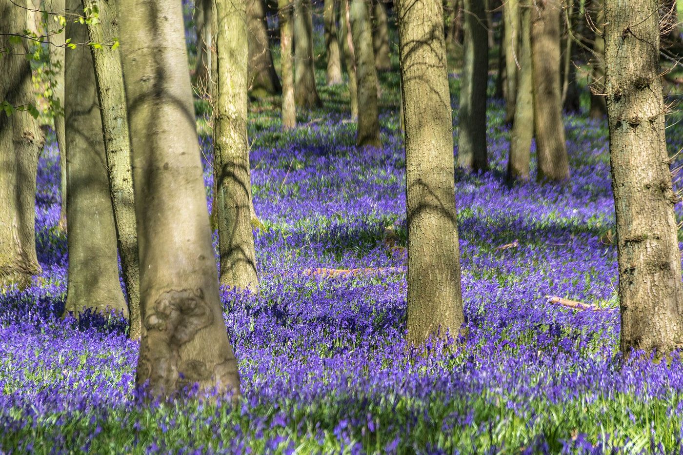
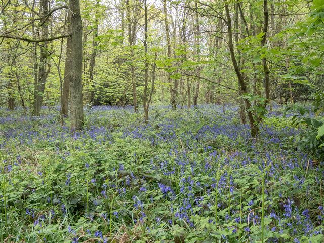
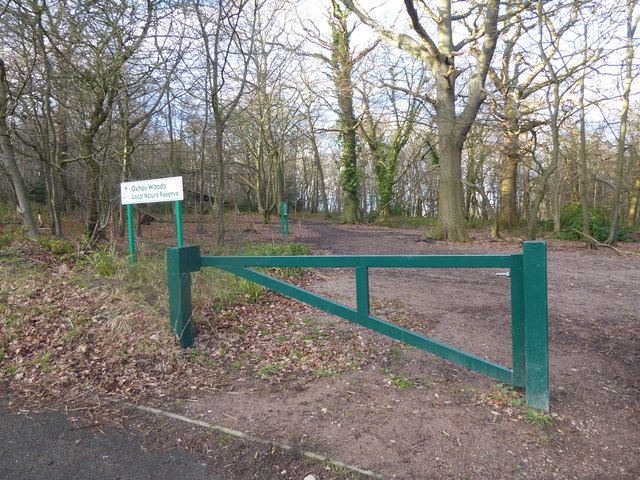
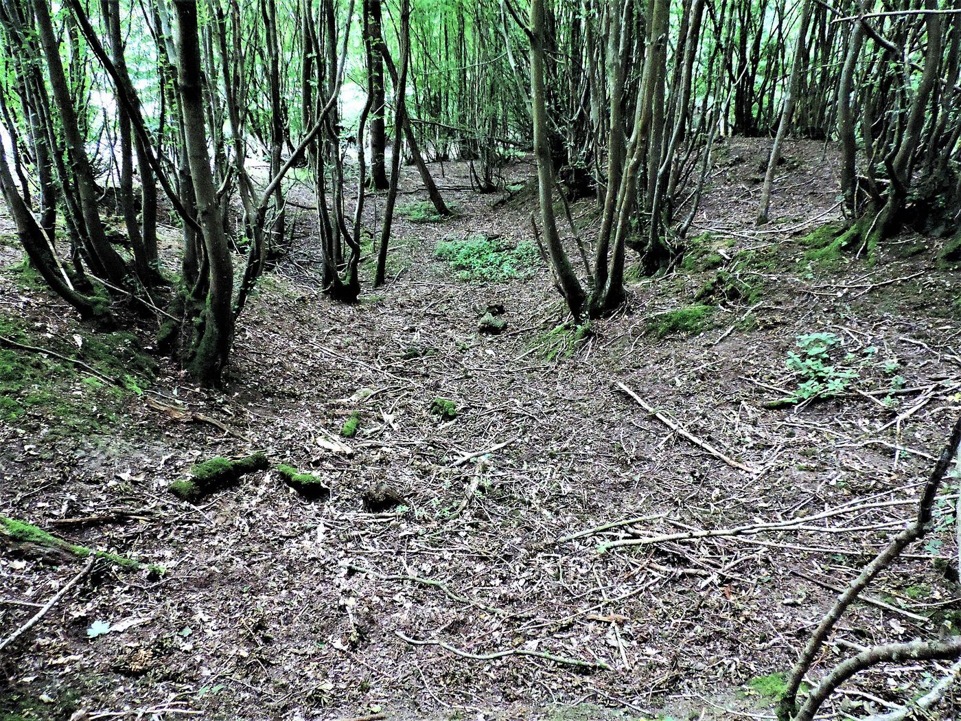
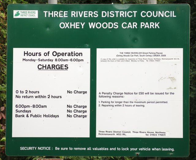
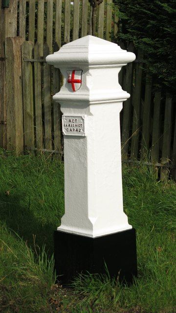
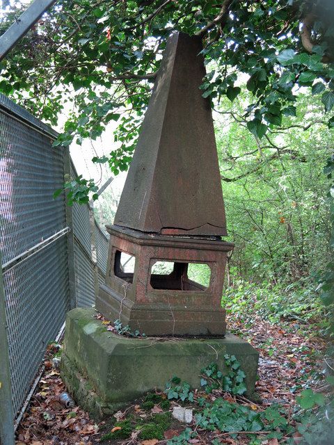
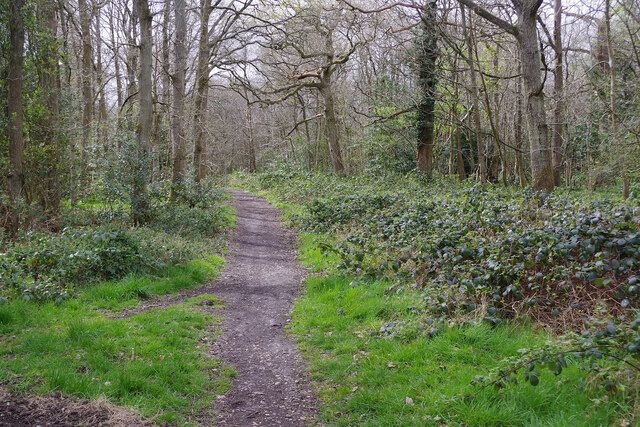
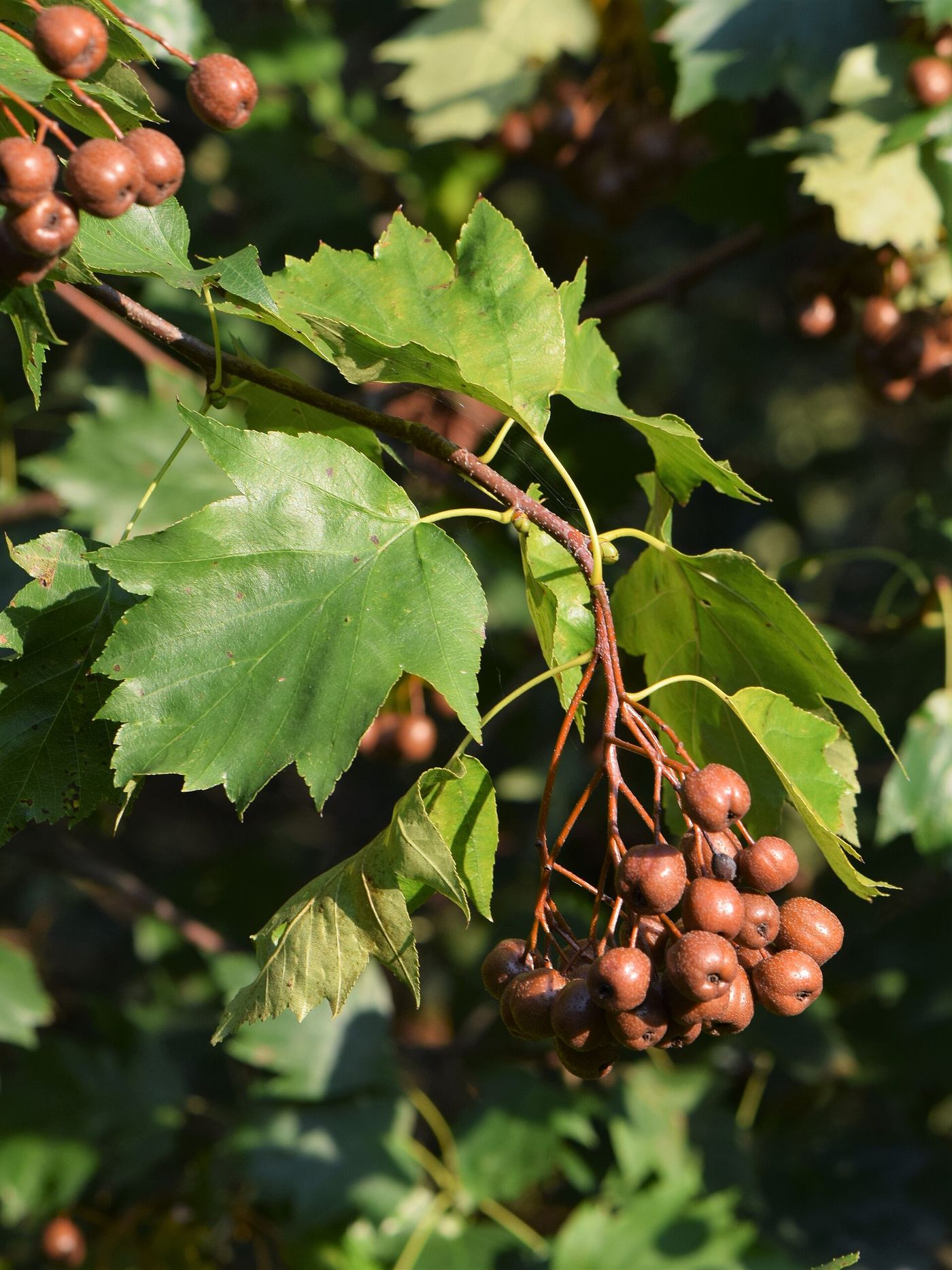
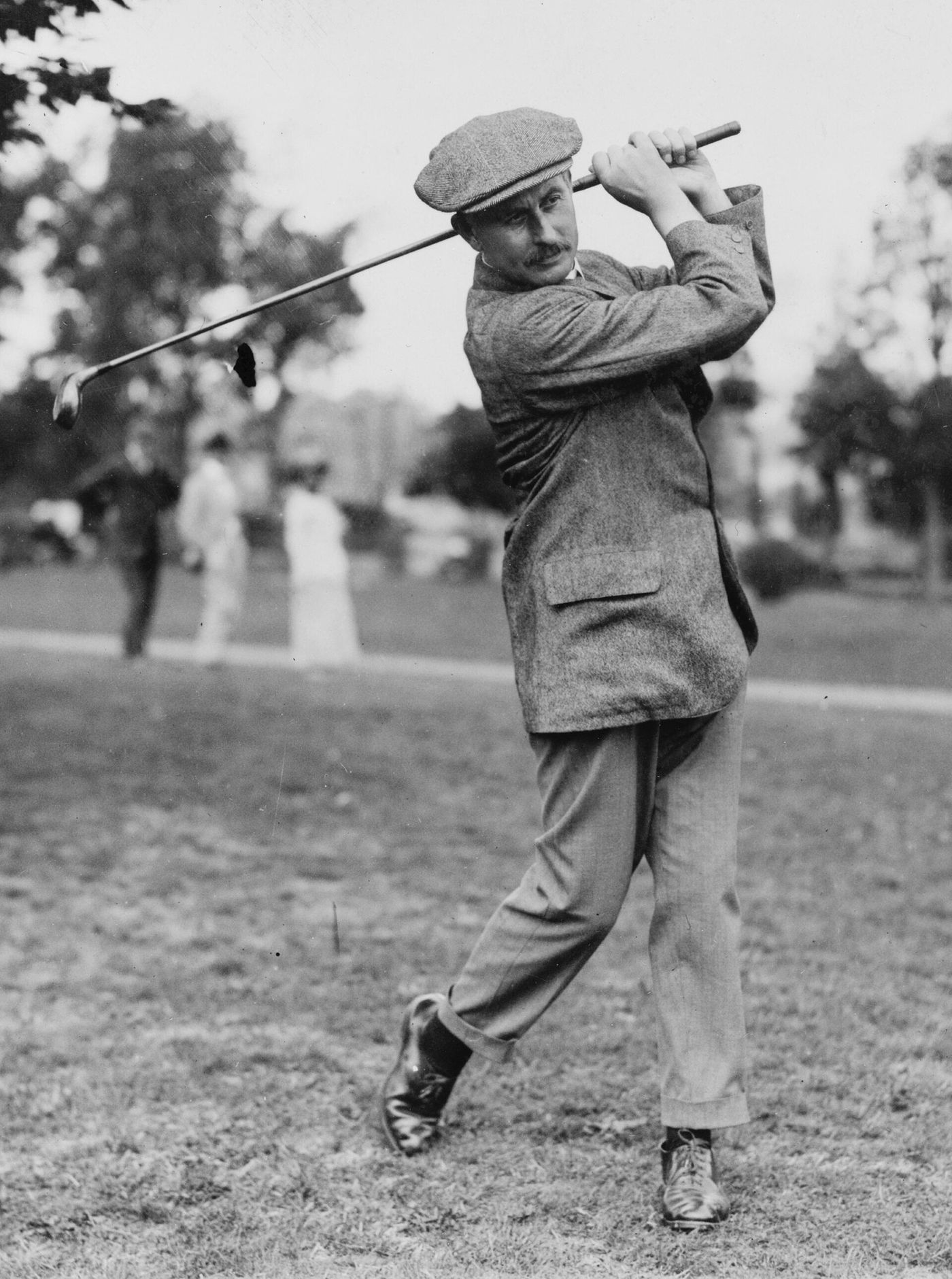
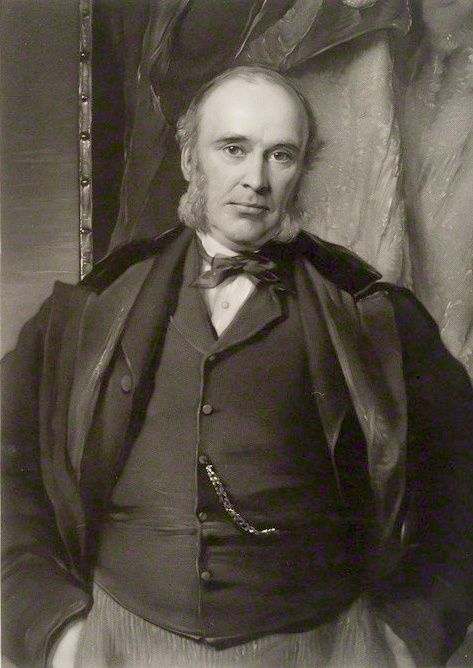
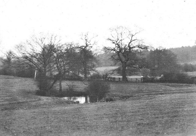
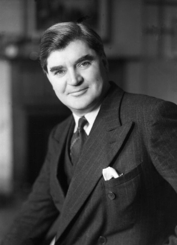
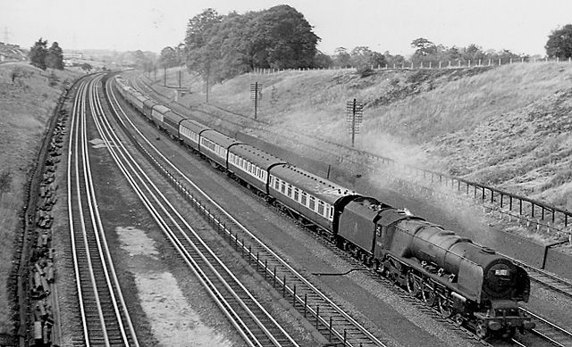
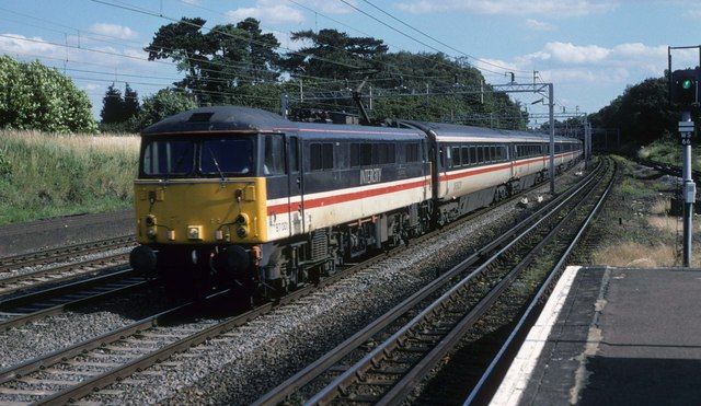
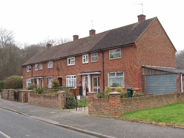
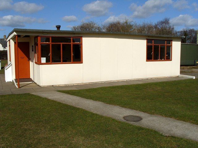
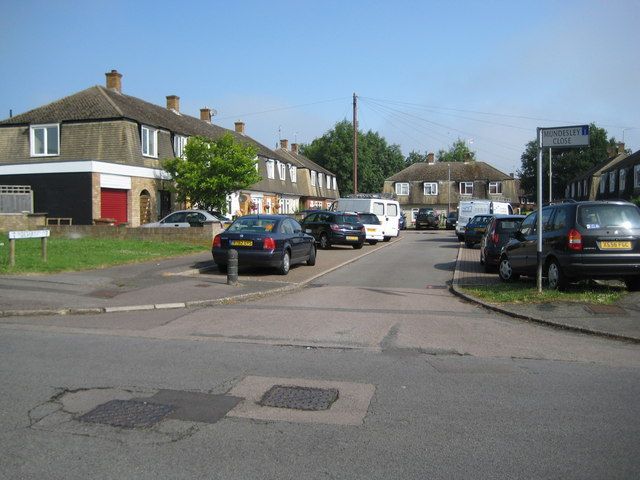
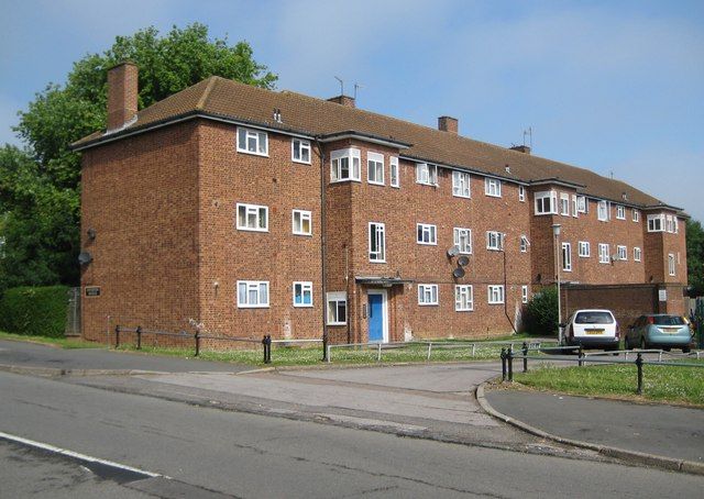
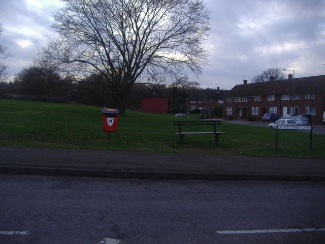
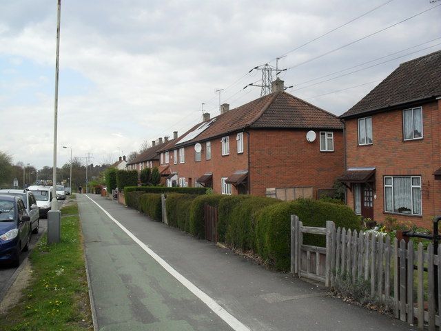
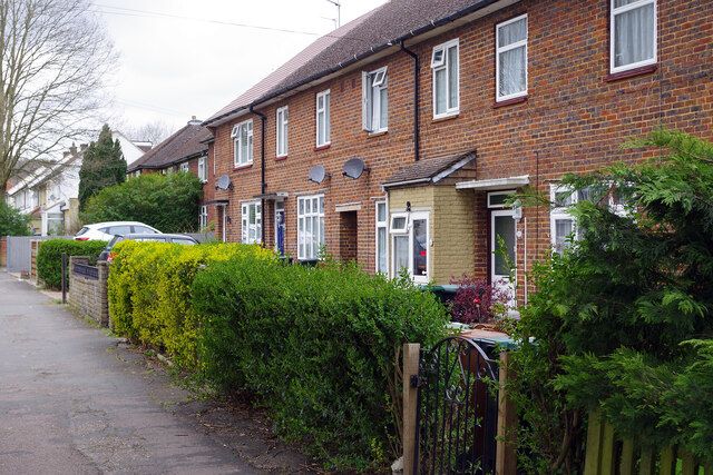
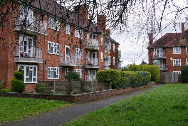
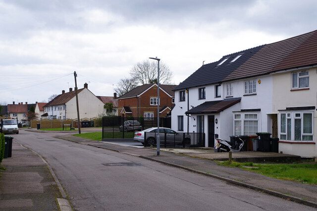
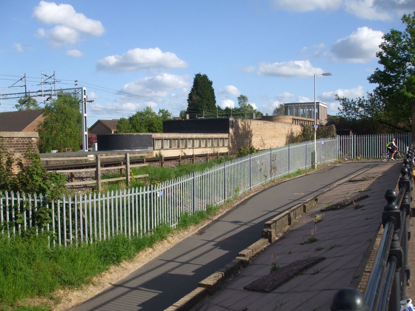
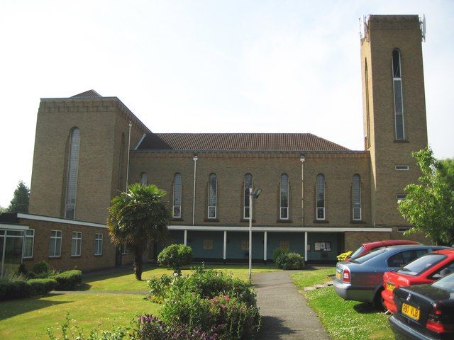
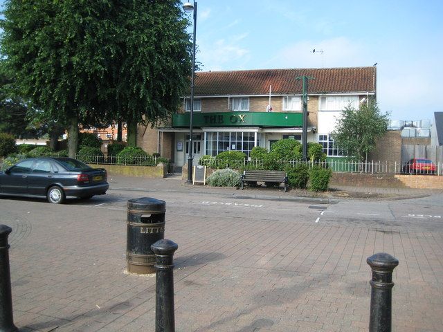
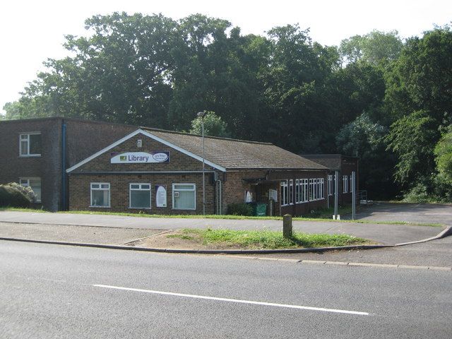
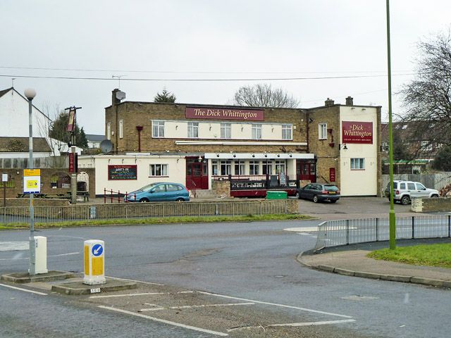
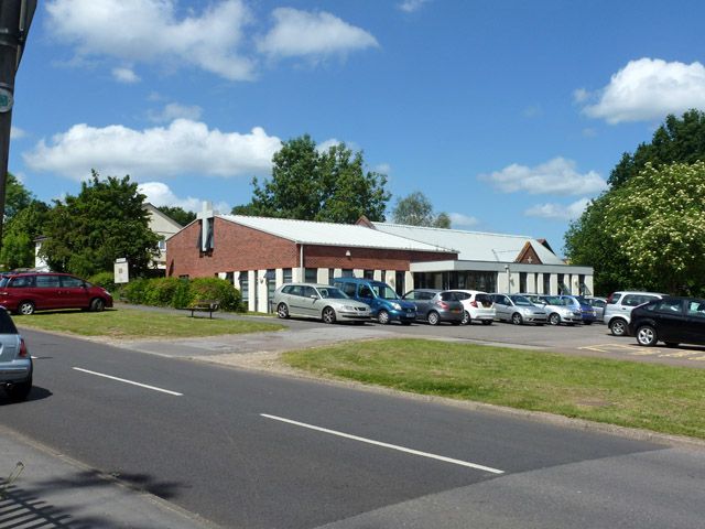
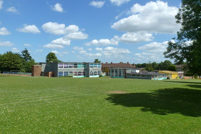
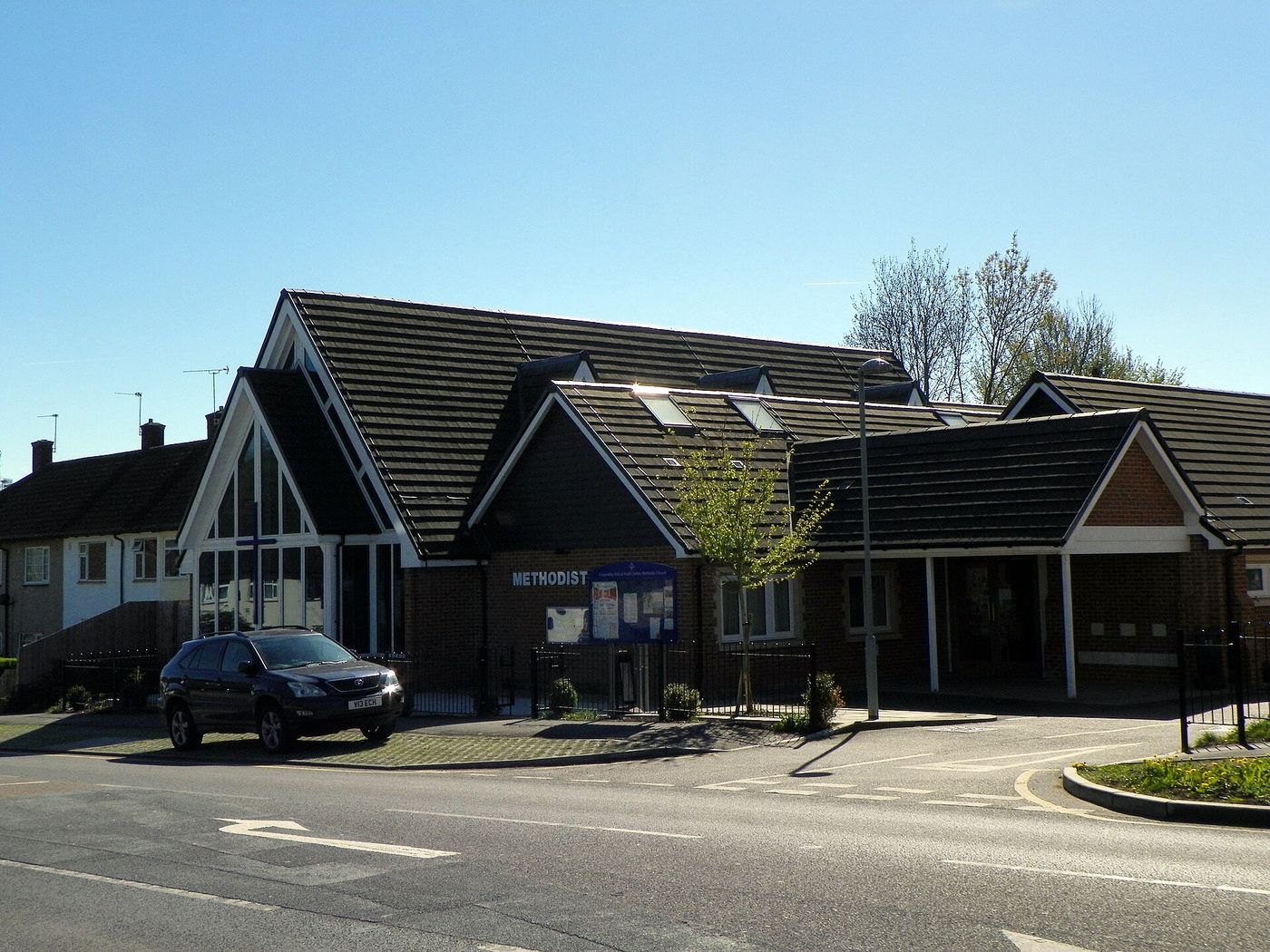
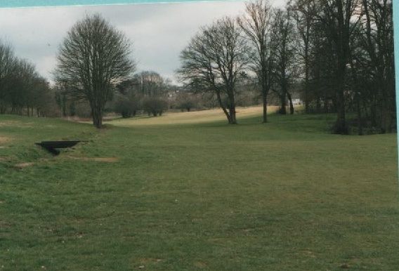
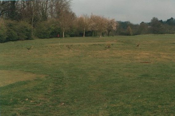
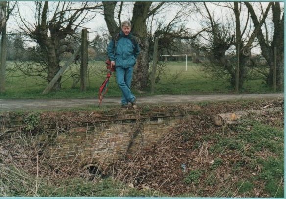
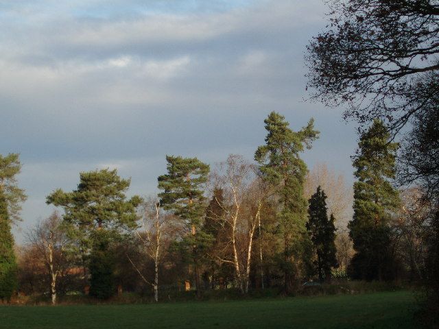
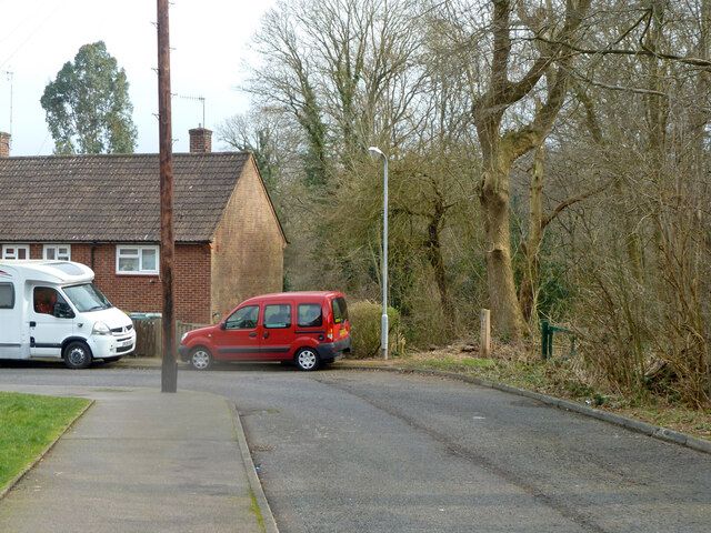
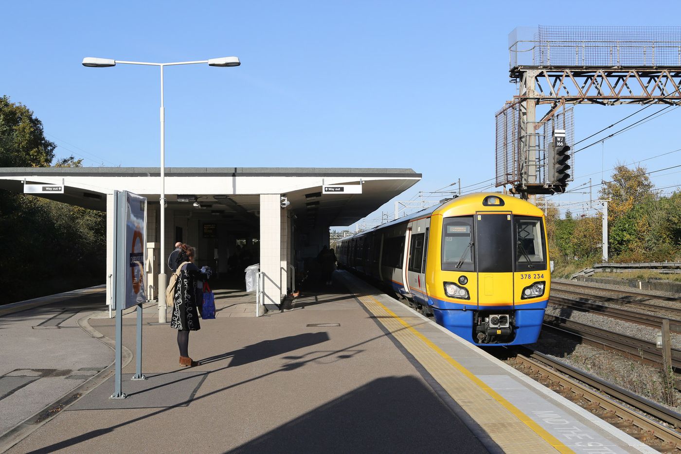
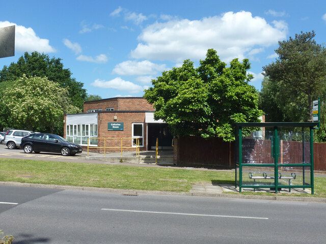
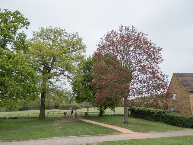
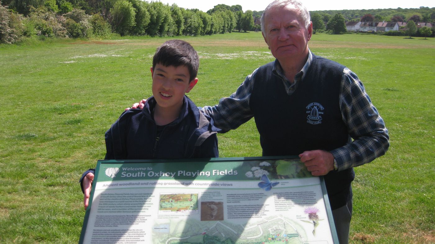
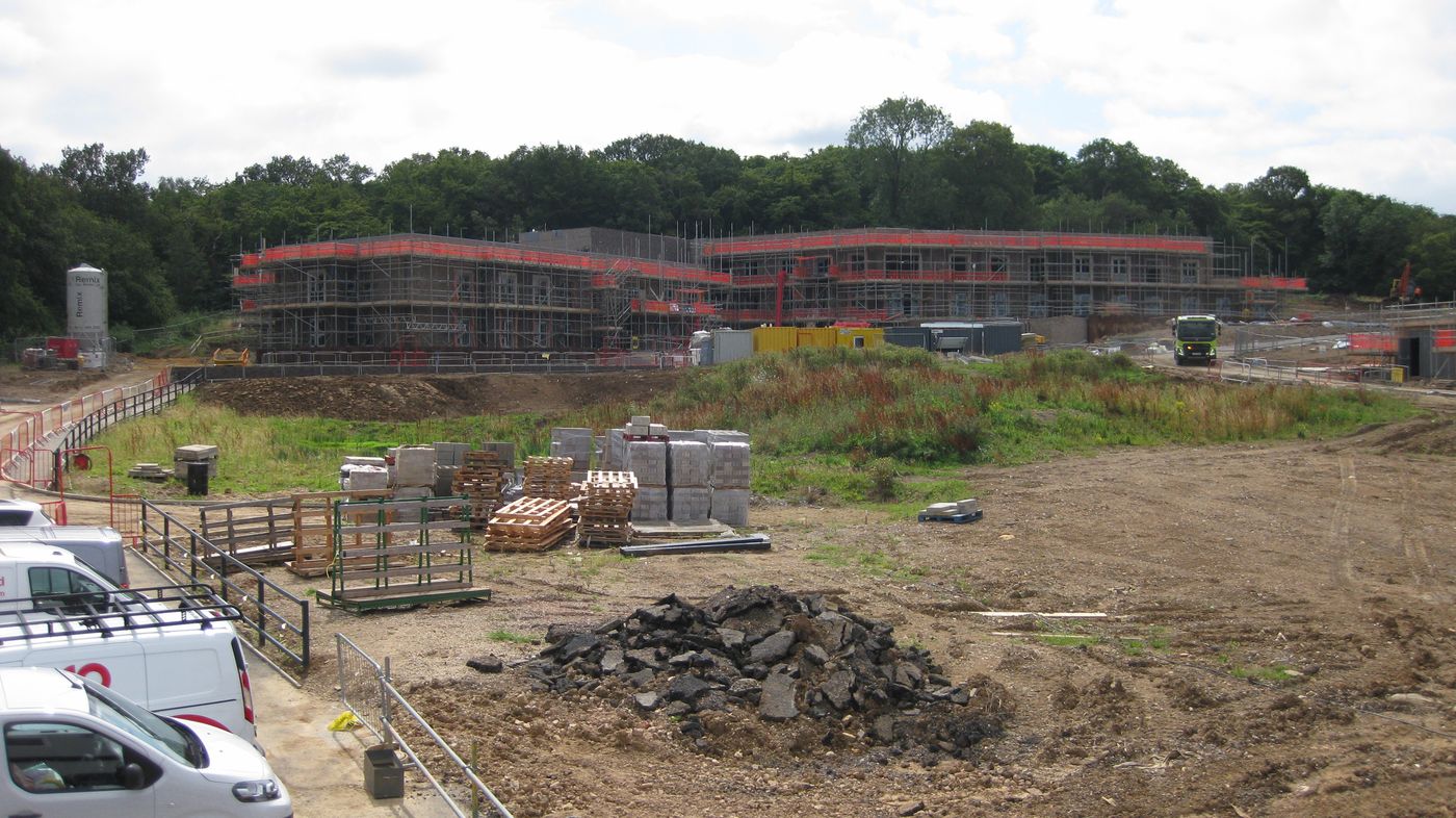
The watch Sid Baker won at Epsom on 19 August 1924, runner-up in the Golf Greenkeepers' Association tournament, the prize given by Messrs James Carter and Company, seed merchants. He carried it in his waistcoat for the rest of his life and his family still has it. Dunham family archive, photographed by Neil Dunham and published with his permission (All rights reserved) Ray did not only play at Oxhey, he sold clubs there. This niblick carries his facsimile signature, the words autograph model, and the club's own address: Oxhey G.C., Herts Eng. It has stayed in the greenkeeper's family ever since. Dunham family archive, photographed by Neil Dunham and published with his permission (All rights reserved) A tool from the greenkeeping sheds, with O.G.C. burned into the handle so it could not walk off the course. Dunham family archive, photographed by Neil Dunham and published with his permission (All rights reserved) Ava Baker, the head greenkeeper's wife, holding the pin on one of the greens while a small boy reaches for it. The greenkeeper's family had the run of the course. Dunham family archive, photographed by Neil Dunham and published with his permission (All rights reserved) A baby crawling across a green at Oxhey, with the lip of a bunker and the trees of the course behind. Dunham family archive, photographed by Neil Dunham and published with his permission (All rights reserved) Sid Baker, head greenkeeper at Oxhey for most of the club's life, with his wife Ava. Dunham family archive, photographed by Neil Dunham and published with his permission (All rights reserved) Sid Baker in a group at the house in Hampermill Lane. Don Dunham believed some of the others were members of the club, but none of them is identified, and the site would be glad to hear from anyone who knows a face. Dunham family archive, photographed by Neil Dunham and published with his permission (All rights reserved) A second club from Ray's Oxhey shop, in a different family from the niblick. Same facsimile signature, same autograph model, same address: Oxhey G.C., Herts Eng. Neil Hamilton collection, photographed by him and published with his permission (All rights reserved) The badge of the artisan section, the club the working men of Oxhey were given in 1920 partly to stop them trespassing. It pins on like a brooch, and the club spelled artizans with a z. Neil Hamilton collection, photographed by him and published with his permission (All rights reserved) Who actually made them. The autograph models carrying Ray’s signature were manufactured by Cann and Taylor of East Sheen, J. H. Taylor’s own firm, and sold from Bombay to Calcutta. The two that turned up at Oxhey came off the same line. Neil Hamilton collection, photographed by him and published with his permission (All rights reserved) The stone his widow put up. It gives his name as Edward Ray and then, on a line of its own, the name everyone used. Edith outlived him by eight years. Neil Hamilton, photographed on a visit some years ago and published with his permission (All rights reserved) The plot when Neil Hamilton visited it, some years ago. The kerbs are in place and the stone is lying flat on the grave rather than standing. Neil Hamilton, photographed on a visit some years ago and published with his permission (All rights reserved) Looking north up the drive towards Green Lane and the golf clubhouse on a summer morning in the 1930s. The drive runs left to the Blackwells’ mansion. The tree on the right is a cedar of Lebanon standing in the grounds of Oxhey Chapel, already more than a century old when this was taken. Neil Hamilton collection, caption by John Swain, published with their permission (All rights reserved) The poster for the auction of 11 July 1866, when Sotheron Estcourt sold 1,275 acres of the Oxhey Estate in five lots. Sale particulars of 1866, as reproduced in Poor But Proud: A History of South Oxhey (2012), Chapter Ten, Appendix One, p. 140. Photographed and cleaned for this site (Out of copyright) The poster for W. H. Smith's auction of 3 July 1872. The main estate did not sell, and stayed on the market for five years. Sale particulars of 1872, as reproduced in Poor But Proud: A History of South Oxhey (2012), Chapter Ten, Appendix One. Photographed and cleaned for this site (Out of copyright) "Old Oxhey Chapel", the engraving in H. J. Foley's Rural Rambles: The Herts Border (1889), with the chapel buried in ivy. H. J. Foley, Rural Rambles: The Herts Border (1889), p. 23, via Google Books (Public domain) Oxhey Chapel about 1897, before the restoration, still thick with ivy, with its single bell opening in the roof and sheep in the park around it. Photographer unknown, as reproduced in Poor But Proud: A History of South Oxhey (2012), p. 79 (Out of copyright) Oxhey Place on the Ordnance Survey map revised in 1896: by then a farm, with the chapel (marked "Church") in the field beside it. 25-inch map, revised 1896. Ordnance Survey, reproduced with the permission of the National Library of Scotland (CC BY 4.0 ) Little Oxhey Farm and its lane in 1896, with the railway on the right. Fields covered all this ground until the estate was built. 25-inch map, revised 1896. Ordnance Survey, reproduced with the permission of the National Library of Scotland (CC BY 4.0 ) Oxhey Lodge farm and Oxhey Warren in 1896. The golf clubhouse was built beside them in 1912. 25-inch map, revised 1896. Ordnance Survey, reproduced with the permission of the National Library of Scotland (CC BY 4.0 ) Oxhey Woods on the 1896 map, with the old names Old Hangings, Young Hangings, The Plantation and Beck Mason's Wood. 25-inch map, revised 1896. Ordnance Survey, reproduced with the permission of the National Library of Scotland (CC BY 4.0 ) The ground of Oxhey golf course on the 1935 map. The map prints "Golf Course" but, like every Ordnance Survey map, shows no holes. 25-inch map, revised 1935. Ordnance Survey, reproduced with the permission of the National Library of Scotland (CC BY 4.0 ) A Crosse and Blackwell piccalilli label of 1867, giving the firm's address at 21 Soho Square. Unknown author who worked for Crosse & Blackwell, via Wikimedia Commons (Public domain ) W. H. Smith in Vanity Fair, March 1872, the year he put Oxhey up for auction. Adriano Cecioni, via Wikimedia Commons (Public domain ) T. H. S. Sotheron Estcourt, Home Secretary in 1859, who sold the Oxhey estate in 1866. Portrait by Henry Grant. Henry Grant (1846 to 1932), via Wikimedia Commons (Public domain ) Oxhey Chapel from the west, as printed in the 1908 county history. It shows the small porch and the ivy-covered west wall but not the vestries added in 1897, so the photograph was taken before the restoration. Victoria History of the County of Hertford, vol. 2 (ed. William Page, 1908), scanned by Internet Archive (Public domain ) A Crosse and Blackwell advertisement of 1903, when the Blackwells owned Oxhey Place. Unknown author (The Sketch), via Wikimedia Commons (Public domain ) George Low, Alex Smith, Ted Ray and Harry Vardon, probably at Baltusrol in a qualifying round for the 1913 US Open, during Ray and Vardon's American tour. Bain News Service, publisher, via Wikimedia Commons (Public domain ) A London Underground poster of 1915 by E. McKnight Kauffer, inviting Londoners out to Oxhey Woods. Edward McKnight Kauffer, via Wikimedia Commons (Public domain ) Ted Ray in July 1920, the year he won the US Open. Agence Rol, via Wikimedia Commons (Public domain ) Ted Ray putting on the 6th green at Oxhey during the county championships, from the Illustrated Sporting and Dramatic News, 4 November 1922, though Golf's Missing Links dates the championship to November 1920. Unknown photographer, Illustrated Sporting and Dramatic News (scan by Bill the Brit), via Wikimedia Commons (Public domain ) The only group portrait of the club’s membership that exists. Fifteen of them, drawn by an artist who signed himself Mel, from the club captain and the secretary down to the man who was always late on the first tee. Ted Ray is bottom left with his pipe. © Illustrated London News/Mary Evans Picture Library (Licensed for use on this site) Players walking up the third fairway during the News of the World tournament, with Big Wood on the skyline. The line of the fairway is now Ashburnham Drive. John Swain believes the tall golfer second from the right is Alf Padgham, who had won the Open that July. Hole numbers here follow the card used after the 1936 re-routing: the third of the later card is the ninth on the c.1920 one. Don Dunham Collection, originally attributed to the London News Agency. Sent by John Swain. (Out of copyright) Driving from the tee in front of a large gallery, almost all of it men in caps and trilbies. John Swain identifies the player as Sam King, then the assistant at Knole Park, who held Oxhey's professional course record of 68. Don Dunham Collection, originally attributed to the London News Agency. Sent by John Swain. (Out of copyright) The ninth, a short hole of 110 yards, with the crowd banked up the slope above the green. The small wooden building on the left is the refreshment hut, which appears in no other picture of the course. The old chalk pit lay behind the camera and Big Wood off to the right. This is the ninth of the card in use in 1936, the fifteenth on the c.1920 one. Don Dunham Collection, originally attributed to the London News Agency. Sent by John Swain. (Out of copyright) Elsie Baker, the head greenkeeper’s daughter, on the fifth green in the summer of 1938. She later became Mrs Dunham, and her son Don wrote down most of what this site knows about the club. Dunham family archive, sent by John Swain and published with Neil Dunham’s permission (All rights reserved) Don Dunham traced the course off the map in the club brochure, and he and John Swain marked it up between them. The green circles are the greens, the Oxhey Hall estate is eating into the north edge, and the halt that brought Londoners out is bottom right. Dunham family archive, prepared and cropped by John Swain and published with Neil Dunham’s permission (All rights reserved) Yehudi Menuhin in 1940. He signed the 1963 appeal to save Oxhey Chapel. Annemarie Heinrich, via Wikimedia Commons (Public domain ) Sir Patrick Abercrombie, co-author of the County of London Plan of 1943. Elliott & Fry, via Wikimedia Commons (Public domain ) Three things the club wanted its members to know in November 1942: give to the staff Christmas fund but not more than a pound, give to the bed being endowed at Watford Peace Memorial Hospital for the dead landowner, and hand in any old clothes and clubs for the war effort. Neil Hamilton collection, photographed by him and published with his permission (All rights reserved) Lord Latham, leader of the LCC, who defended the Oxhey scheme in the House of Lords. Ministry of Information, via Wikimedia Commons (Public domain ) Lewis Silkin in 1945. He told the Commons when the LCC decided to buy Oxhey. Unknown author (Manchester Evening News), via Wikimedia Commons (Public domain ) The old sixth fairway in late August 1964, looking north-west to the elevated teebox on the edge of Hampermill Wood. Twelve years after the municipal course closed the ground was still open and close cropped. The dog is Pedlar, the Swain family's Alsatian, who went on patrol in Oxhey Woods with John's father, Sergeant Swain. It was his last walk here; he died a few days later, aged seven. Hole numbers here follow the card used after the 1936 re-routing: the sixth of the later card is the twelfth on the c.1920 one. John Swain, August 1964, published with his permission (All rights reserved) Oxhey Chapel from the north-east in 2003, with the east end on the left. © John Salmon, Geograph (CC BY-SA 2.0 ) The west front of Oxhey Chapel in 2003, with the bell turret and cupola added in the 1960s restoration. © John Salmon, Geograph (CC BY-SA 2.0 ) Inside Oxhey Chapel in 2003: the east end with its carved reredos. © John Salmon, Geograph (CC BY-SA 2.0 ) Oxhey Chapel interior: the carved font, 2003. © John Salmon, Geograph (CC BY-SA 2.0 ) John Swain's plan of the course as it was about 1920, drawn in 2004. It gives the course as 6,539 yards, standard scratch 78. John Swain, 2004, published with his permission (All rights reserved) The view west along the line of the 1936 to 1946 third fairway, beside what is now Ashburnham Drive. The artificial mounds at the foot of the slope have gone under trees and bushes. The pylon at the western end has stood here since July 1955. Hole numbers here follow the card used after the 1936 re-routing: the third of the later card is the ninth on the c.1920 one. John Swain, March 2004, published with his permission (All rights reserved) The plateau green of the sixth, with the third fairway beyond and the houses of Bramshot Way across the valley. Oxhey Woods is on the skyline. Hole numbers here follow the card used after the 1936 re-routing: the sixth of the later card is the twelfth on the c.1920 one. John Swain, March 2004, published with his permission (All rights reserved) Looking east along the line of the eighth fairway towards Big Wood. Hole numbers here follow the card used after the 1936 re-routing: the eighth of the later card is the fourteenth on the c.1920 one. John Swain, March 2004, published with his permission (All rights reserved) The approach to the eighth green, set in a fold on the edge of Big Wood. The path beyond it leads to the ninth tee and the short hole across the chasm that was known locally as Nelson's Drop. Hole numbers here follow the card used after the 1936 re-routing: the eighth of the later card is the fourteenth on the c.1920 one. John Swain, March 2004, published with his permission (All rights reserved) The ninth green, more than fifty years after the course closed. The ninth of the later card, and the fifteenth on the c.1920 one: the short 110-yard hole beside the old chalk pit. John Swain, March 2004, published with his permission (All rights reserved) The ninth green seen from below, its bunkers long since grassed over. The old quarry lies to the left and Big Wood to the right. The ninth of the later card, the fifteenth on the c.1920 one. John Swain, March 2004, published with his permission (All rights reserved) Looking up the line of the tenth fairway, on the highest part of the course, with Big Wood away to the left. This is the tenth of the card used after the 1936 re-routing. On the c.1920 card it was the sixteenth, played south-south-east from the high ground north of the chalk pit. John Swain, March 2004, published with his permission (All rights reserved) The northern edge of the old course, looking back towards the tenth tee. The ground beyond falls away north-west over the Colne valley towards Croxley Green. John Swain, March 2004, published with his permission (All rights reserved) A hollowed-out tree behind Fulford Grove, close to where the first green lay. Don Dunham, March 2004, published by permission of Neil Dunham (All rights reserved) The raised teebox of the sixth, at the edge of Hampermill Wood and by then well overgrown. John Swain remembers it forty years earlier still clear on the woodland fringe, with wooden steps up to the platform. Hole numbers here follow the card used after the 1936 re-routing: the sixth of the later card is the twelfth on the c.1920 one. Don Dunham, March 2004, published by permission of Neil Dunham (All rights reserved) The forward tee of the sixth, the twelfth on the 1912 to 1935 layout. The old maintained edge of Hampermill Wood can still be made out, with the shrub layer pressing in on it. Hole numbers here follow the card used after the 1936 re-routing: the sixth of the later card is the twelfth on the c.1920 one. Don Dunham, March 2004, published by permission of Neil Dunham (All rights reserved) The artificial mounds that separated the 1936 seventh green from the eighth fairway. In the 1950s people stood on them to look north over the Colne valley to the Watford skyline; fifty years on they carry ash, oak, holly and hazel over ivy and bramble. Hole numbers here follow the card used after the 1936 re-routing: the seventh of the later card is the thirteenth on the c.1920 one, the eighth of the later card is the fourteenth on the c.1920 one. Don Dunham, March 2004, published by permission of Neil Dunham (All rights reserved) The old quarry, dug for sand, gravel, flints and chalk long before the course opened in 1912. From 1912 to 1935 it made the hazard on the short fifteenth, the ninth after the re-routing. By 2004 people were dumping stolen and burnt-out cars in it. Don Dunham, March 2004, published by permission of Neil Dunham (All rights reserved) Looking north to Watford from the line of the eighth fairway, about halfway between Hampermill Wood and Big Wood. In the 1950s this view was dominated by three churches, Holy Rood, St Mary's and the spire of the Wesleyan Methodist church in Queens Road, along with the Benskin's building and the Vicarage Road floodlights that went up late in 1953. By 2004 the tower blocks had taken over, though the 117-foot tower of Holy Rood, finished in 1900, still shows. John Swain notes that the view is now a winter one only, and that the old vantage points on the three hills have gone under the scrub. Hole numbers here follow the card used after the 1936 re-routing: the eighth of the later card is the fourteenth on the c.1920 one. Don Dunham, 24 March 2004, published by permission of Neil Dunham (All rights reserved) Neil Hamilton and John Swain standing in the line of the old eighth fairway at the edge of Hampermill Wood, looking east towards Big Wood. They reckoned that trees and shrubs had come at least thirty metres onto the cut grass of the fairway since the 1960s, and the photograph shows it: the open ground is the gap between them. Hole numbers here follow the card used after the 1936 re-routing: the eighth of the later card is the fourteenth on the c.1920 one. Don Dunham, 24 March 2004, published by permission of Neil Dunham and Neil Hamilton (All rights reserved) John Swain drew this bird's eye view of the area from memory while living in Ireland, using the 1938 six-inch Ordnance Survey map for reference. John Swain, published with his permission (All rights reserved) Rhododendron Walk in Oxhey Woods in 2006. The council thinks the rhododendron goes back to Victorian planting. © David Hawgood, Geograph (CC BY-SA 2.0 ) The London LOOP path through Oxhey Woods in 2009. © Nigel Cox, Geograph (CC BY-SA 2.0 ) Sandy Lodge Golf Club, just west of the old Oxhey course, was laid out by Harry Vardon in 1910, two years before Oxhey. Photographed in 2009. © Nigel Cox, Geograph (CC BY-SA 2.0 ) Oxhey Woods Local Nature Reserve in June 2009. Nigel Cox, via Wikimedia Commons (CC BY-SA 2.0 ) The start of the Oxhey Woods sculpture trail in 2013, soon after the trail opened. © Robin Webster, Geograph (CC BY-SA 2.0 ) Wood carvings (hedgehogs, bird, snail, frog) by a pond on the sculpture trail, 2013. © Robin Webster, Geograph (CC BY-SA 2.0 ) A carving beside a path on the Oxhey Woods sculpture trail, 2013. © Robin Webster, Geograph (CC BY-SA 2.0 ) London coal tax post on the Greater London / Hertfordshire boundary, 2013. © Robin Webster, Geograph (CC BY-SA 2.0 ) Potter Street Hill closed to vehicles at the county boundary, with the coal tax post, 2013. © Robin Webster, Geograph (CC BY-SA 2.0 ) A path through Oxhey Woods in September 2013. Dudley Miles, via Wikimedia Commons (CC BY-SA 3.0 ) Leaves of the wild service tree, the emblem of Oxhey Woods (photographed elsewhere). Krzysztof Ziarnek, Kenraiz, via Wikimedia Commons (CC BY-SA 4.0 ) Hornbeam coppice in Oxhey Woods in 2015: many trunks growing from one old stool, the mark of centuries of cutting. © Robin Webster, Geograph (CC BY-SA 2.0 ) Watford Town Hall, where the public inquiry into the Oxhey order sat in April 1944. Photographed in 2015. Matt Brown from London, England, via Wikimedia Commons (CC BY 2.0 ) Old postcard: the Club House, Oxhey Golf Club. Bill the Brit, via Wikimedia Commons (CC BY-SA 4.0 ) Old postcard: the clubhouse from the side. Bill the Brit, via Wikimedia Commons (CC BY-SA 4.0 ) Old postcard: the 13th green, Oxhey Golf Club. Bill the Brit, via Wikimedia Commons (CC BY-SA 4.0 ) Old postcard: the clubhouse and the bunkers at the 7th hole. Bill the Brit, via Wikimedia Commons (CC BY-SA 4.0 ) Old postcard: the 15th green, the short hole over Nelson's Drop. Bill the Brit, via Wikimedia Commons (CC BY-SA 4.0 ) John Swain's section runs three kilometres from Oxhey Woods down to the Colne, naming what stands on the ground above each band: the care home, Little Furze school, the council estate, the playing fields that were the golf course, the interwar Oxhey Hall estate and the Rookery. Chalk underlies the lot, with the Lambeth Group, London Clay and a cap of Stanmore Gravel on the high ground. He surveyed the line as a student in 1963 and drew it in 2016. John Swain, 2016, published with his permission (All rights reserved) A Hertfordshire bluebell wood in April. Christine Matthews, via Wikimedia Commons (CC BY-SA 2.0 ) Bluebells in Oxhey Woods in April 2017. © Christine Matthews, Geograph (CC BY-SA 2.0 ) Entrance barrier and sign at Oxhey Woods, 2019. © Marathon, Geograph (CC BY-SA 2.0 ) Hornbeam coppice in a Sussex wood: stems growing from old stools, as in Oxhey's springs. Patrick Roper, via Wikimedia Commons (CC BY-SA 2.0 ) Three Rivers District Council sign at Oxhey Woods car park, 2019. © Mike Quinn, Geograph (CC BY-SA 2.0 ) Coal tax boundary post no.51, Potter Street Hill (Grade II listed), 2019. © Mike Quinn, Geograph (CC BY-SA 2.0 ) Cast-iron coal tax boundary obelisk no.52 west of Eastbury Road (Grade II listed), 2019. © Mike Quinn, Geograph (CC BY-SA 2.0 ) Prestwick Road Meadows Local Nature Reserve, 2019. © Mike Quinn, Geograph (CC BY-SA 2.0 ) Path through the central woodland of Oxhey Woods towards Oxhey Drive, spring, 2022. © Stephen McKay, Geograph (CC BY-SA 2.0 ) Wild service tree fruit in autumn (photographed elsewhere). Krzysztof Ziarnek, Kenraiz, via Wikimedia Commons (CC BY-SA 4.0 ) Harry Vardon, who laid out the Oxhey course, around 1910. Bain News Service, via Wikimedia Commons (Public domain ) W. H. Smith (1825 to 1891), the newsagent and politician who bought the Oxhey estate in 1866. Engraving after George Richmond. George Richmond, engraved by John Douglas Miller, via Wikimedia Commons (Public domain ) A pond beside Pond Wood, probably Park Pond, in a photograph its owner believes was taken in the late 1930s, before the estate. © A.C.Burgess, Geograph (CC BY-SA 2.0 ) The Ordnance Survey's air photo of September 1948: the first streets of the estate going up beside the railway, with the old fields still to the west. Ordnance Survey air photo mosaic, September 1948. Reproduced with the permission of the National Library of Scotland (CC BY 4.0 ) Aneurin Bevan in 1943. As Minister of Health he gave Parliament the cost of the Oxhey land in 1949. Howard Coster, via Wikimedia Commons (Public domain ) A steam express on the main line near Carpenders Park in July 1957, a few years after the new station opened. © Ben Brooksbank, Geograph (CC BY-SA 2.0 ) Carpenders Park station in 1990: the 1952 island platform, main lines to the right. © Ben Brooksbank, Geograph (CC BY-SA 2.0 ) Class 87 express passing Carpenders Park station, 1998. © roger geach, Geograph (CC BY-SA 2.0 ) Brick council houses on Bowring Green in 2006. © David Hawgood, Geograph (CC BY-SA 2.0 ) A 1940s prefab kept at the Imperial War Museum, Duxford, of the kind built for families after the war. Paul Shreeve, via Wikimedia Commons (CC BY-SA 2.0 ) A Nissen hut. Huts like this served as the builders' canteen and early church halls at Oxhey. Bob Embleton, via Wikimedia Commons (CC BY-SA 2.0 ) The station approach on the South Oxhey side in 2008, before the rebuilding. © David Howard, Geograph (CC BY-SA 2.0 ) Old entrance to the foot tunnel under the railway at Carpenders Park, 2008. © David Howard, Geograph (CC BY-SA 2.0 ) Oxhey Drive lined with fastigiate hornbeam trees, 2009. © Nigel Cox, Geograph (CC BY-SA 2.0 ) Mundesley Close: an unusual tile-hung house style on the estate, 2009. © Nigel Cox, Geograph (CC BY-SA 2.0 ) Offerton House, a three-storey LCC block of flats, in 2009. © Nigel Cox, Geograph (CC BY-SA 2.0 ) Little Oxhey Lane overlooking Prestwick Road, 2011. © David Howard, Geograph (CC BY-SA 2.0 ) 1960s terraces and cycle path on Prestwick Road, 2012. © Burgess Von Thunen, Geograph (CC BY-SA 2.0 ) Prefabricated council houses of the 1950s at Glencorse Green, photographed in 2012. © Burgess Von Thunen, Geograph (CC BY-SA 2.0 ) Hampermill Lane, Oxhey, 2012. © David Howard, Geograph (CC BY-SA 2.0 ) Hayling Road, South Oxhey, 2012. © David Howard, Geograph (CC BY-SA 2.0 ) Gosforth Lane, South Oxhey, 2012. © David Howard, Geograph (CC BY-SA 2.0 ) Council houses on Woodhall Lane beside a green, 2012. © Burgess Von Thunen, Geograph (CC BY-SA 2.0 ) Flats on Matlock Crescent behind a large green, 2015. © Robin Webster, Geograph (CC BY-SA 2.0 ) Footpath from Furze Close to Muirfield Road beside the edge of Oxhey Woods, 2019. © Marathon, Geograph (CC BY-SA 2.0 ) Small green at Prestwick Road and Little Oxhey Lane, 2019. © Marathon, Geograph (CC BY-SA 2.0 ) The station entrance and foot tunnel at Carpenders Park in 2022. © Stephen McKay, Geograph (CC BY-SA 2.0 ) A typical early-1950s LCC terrace on Oxhey Drive, photographed in 2022. © Stephen McKay, Geograph (CC BY-SA 2.0 ) Forfar House flats overlooking a green off Oxhey Drive, 2022. © Stephen McKay, Geograph (CC BY-SA 2.0 ) Moortown Road, named, like many of the estate's streets, after a golf club. © Stephen McKay, Geograph (CC BY-SA 2.0 ) Steel-framed BISF houses, of the type people at Oxhey called tin houses. These are in Coventry. A J Paxton, via Wikimedia Commons (CC BY-SA 2.0 ) LCC council houses on the Kingswood estate in south London, shown for comparison. Wikociewie, via Wikimedia Commons (CC0 ) Cornish Unit houses, another factory-made type used at Oxhey. These are in Camborne. Mutney, via Wikimedia Commons (CC BY 4.0 ) The finished estate on the Ordnance Survey of the 1960s, with Warren Dell School, another school beside Pond Wood, the library, the St Andrew's Road shops and the railway. 1:10,560 map, revised 1958 to 1967. Ordnance Survey, reproduced with the permission of the National Library of Scotland (CC BY 4.0 ) Hallowes Crescent shop parade seen down Hayling Road, 2005. © Nigel Cox, Geograph (CC BY-SA 2.0 ) The Prestwick Road shop parade in 2005. © Nigel Cox, Geograph (CC BY-SA 2.0 ) Carpenders Park station in April 2009. Sunil060902, via Wikimedia Commons (CC BY-SA 3.0 ) St Joseph's Catholic Church on Oxhey Drive, built in 1960, photographed in 2009. © Nigel Cox, Geograph (CC BY-SA 2.0 ) The St Andrew's Road precinct in June 2009, before it was demolished for South Oxhey Central. © Nigel Cox, Geograph (CC BY-SA 2.0 ) The Ox on Bridlington Road in June 2009. It was demolished in 2018. © Nigel Cox, Geograph (CC BY-SA 2.0 ) The library on Bridlington Road in 2009. © Nigel Cox, Geograph (CC BY-SA 2.0 ) The Dick Whittington on Prestwick Road in 2013. It is now the estate's last pub still trading. © Robin Webster, Geograph (CC BY-SA 2.0 ) South Oxhey Baptist Church, Gosforth Lane, 2015. © Robin Webster, Geograph (CC BY-SA 2.0 ) St Joseph's Catholic Primary School across its playing field in 2015. © Robin Webster, Geograph (CC BY-SA 2.0 ) The Methodist church in Prestwick Road in 2017. Peter O'Connor aka anemoneprojectors, via Wikimedia Commons (CC BY-SA 2.0 ) The former Little Furze School on Gosforth Lane (closed 2004), 2019. © Shaun Ferguson, Geograph (CC BY-SA 2.0 ) The shops at Hallowes Crescent in July 2024. They opened in 1951 and have served the west end of the estate for 75 years. John Swain, published with his permission (All rights reserved) The former police house in Hayling Road in July 2024. John Swain's father was the policeman here and the family lived in it from February 1953 until January 1965. The door number has been blurred because the house is a private home now. John Swain, published with his permission (All rights reserved) Looking north across the football pitches to the former clubhouse of 1912, with Green Lane to the right. The standing water is the usual winter problem here: a high water table, and subsoil compacted when the ground was levelled in the 1950s. John Swain, March 2004, published with his permission (All rights reserved) One of the nine holes of Oxhey Park Golf Course, which opened in 1991 on the strip between Green Lane and Prestwick Road and closed in 2017. John Swain, March 2004, published with his permission (All rights reserved) A second view of the 1991 course, laid out on ground that had been part of the original Oxhey Golf Course. John Swain, March 2004, published with his permission (All rights reserved) Local historian Neil Hamilton standing on the culvert on Green Lane, with the football pitches behind him and Oxhey Park Golf Course behind the camera. The pollarded willows along the path were reported to be in poor health in the council's Greenspace Action Plan of 2019 to 2024. John Swain, 24 March 2004, published with his permission and Neil Hamilton's (All rights reserved) Pines and birches at the edge of the fields in winter sun, 2005. © pandora melly, Geograph (CC BY-SA 2.0 ) Gareth Malone in 2008, the year he began forming the South Oxhey choir for The Choir: Unsung Town, shown on BBC Two in 2009. Juliet Brain, via Wikimedia Commons (CC BY 2.0 ) Birkdale Gardens from Prestwick Road in February 2011. © David Howard, Geograph (CC BY-SA 2.0 ) The corner of Woodhall Lane and Little Oxhey Lane in February 2011. © David Howard, Geograph (CC BY-SA 2.0 ) The open space on Caldwell Road in April 2012. © Burgess Von Thunen, Geograph (CC BY-SA 2.0 ) Parkland of mown grass and mature trees crossed by the London LOOP, 2012. © Des Blenkinsopp, Geograph (CC BY-SA 2.0 ) Heysham Drive in September 2012, with a small green on the bend. © Des Blenkinsopp, Geograph (CC BY-SA 2.0 ) The shopping parade in Hallowes Crescent in September 2012, seen across the green. © Des Blenkinsopp, Geograph (CC BY-SA 2.0 ) Embleton Road in September 2012, lined with the brick houses the LCC built for the estate. © David Howard, Geograph (CC BY-SA 2.0 ) Hayling Road from the corner of Hallowes Crescent in September 2012. © David Howard, Geograph (CC BY-SA 2.0 ) The corner of Bowring Green beside Nanscot Wood in February 2013. © Robin Webster, Geograph (CC BY-SA 2.0 ) A London Overground train at Carpenders Park in November 2013. Martin Addison, via Wikimedia Commons (CC BY-SA 2.0 ) Catharine House on Gosforth Lane in June 2015, retirement housing beside the Harewood Road bus stop. © Robin Webster, Geograph (CC BY-SA 2.0 ) Green space at Ashburnham Drive looking towards the Big Wood, 2017. © Christine Matthews, Geograph (CC BY-SA 2.0 ) South Oxhey Playing Fields in 2018, on the ground of the old golf course. © N Chadwick, Geograph (CC BY-SA 2.0 ) The playing fields in 2018, with estate houses beyond the trees. © N Chadwick, Geograph (CC BY-SA 2.0 ) Inside Hampermill Wood on the playing fields in 2018, one of the small woods now on Natural England's revised ancient woodland list. © N Chadwick, Geograph (CC BY-SA 2.0 ) Nairn Green in September 2018, with the trees of the woods behind. © N Chadwick, Geograph (CC BY-SA 2.0 ) The new square outside Carpenders Park station in May 2019, while South Oxhey Central was being built. © Shaun Ferguson, Geograph (CC BY-SA 2.0 ) South Oxhey Central under construction in April 2022, on the site of the old shops. © Stephen McKay, Geograph (CC BY-SA 2.0 ) Pearkes House, part of South Oxhey Central, in 2022. © Stephen McKay, Geograph (CC BY-SA 2.0 ) John Swain and his grandson at the information board on the Green Lane entrance to the playing fields in May 2023, looking south towards the houses on Hayling Road and Fulford Grove. The board carries his plan of the golf course. John Swain, published with his permission (All rights reserved) South Oxhey Playing Fields in June 2024, with a mown path through the long grass of the old course. argoreham, via Wikimedia Commons (CC0 ) The site of Little Furze School in July 2024, under construction, with Oxhey Woods on the slope behind and Furzewood Care Home at the top. John Swain attended the school between March 1953 and July 1954. John Swain, published with his permission (All rights reserved) The entrance to South Oxhey Playing Fields on Ashburnham Drive in July 2024. The London Outer Orbital Path passes this way. John Swain, published with his permission (All rights reserved) Looking south along Bridlington Road in July 2024, with the library on the right, after the Central rebuilding. John Swain, published with his permission (All rights reserved) Looking south-west from Station Approach towards Prestwick Road and the Market Square in July 2024. John Swain, published with his permission (All rights reserved) Looking south-west along Prestwick Road towards Oxhey Drive in July 2024. John Swain, published with his permission (All rights reserved) St Andrew's Way from Bridlington Road in July 2024, rebuilt on the line of the old precinct. John Swain, published with his permission (All rights reserved) The cleared school site in July 2024, looking west along the line of the 1952 to 2004 buildings, with Oxhey Woods on the skyline and the houses of Gosforth Lane to the right. Taken from the builders' office with the site manager's permission. John Swain, published with his permission (All rights reserved) Hamper Mills clock tower, the old paper mill wheel house, over the River Colne, 2013. © Nigel Cox, Geograph (CC BY-SA 2.0 ) The three who walked the old course with Don Dunham on 24 March 2004 and wrote down what they found: Neil Hamilton, John Swain and Dave Dunham. Much of what this page can tell you about the ground comes from that morning. Hole numbers here follow the card used after the 1936 re-routing: the ninth of the later card is the fifteenth on the c.1920 one. Don Dunham, 24 March 2004, published by permission of Neil Dunham and of all three men in the photograph (All rights reserved) John Swain photographed Don Dunham on the seventh fairway, camera to his face, in the act of making the record. Most of the 2004 photographs on this site are the ones he was taking at that moment. Hole numbers here follow the card used after the 1936 re-routing: the seventh of the later card is the thirteenth on the c.1920 one. John Swain, 24 March 2004, published with his permission and Neil Dunham’s (All rights reserved) Photographs are credited under each picture and listed on the Sources page. Have old photos of South Oxhey? They would make this page much better. Email [email protected] About and contact .