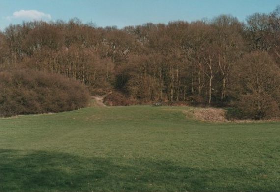
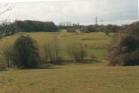
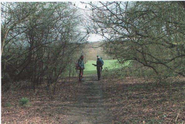
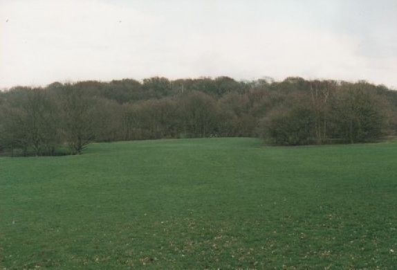
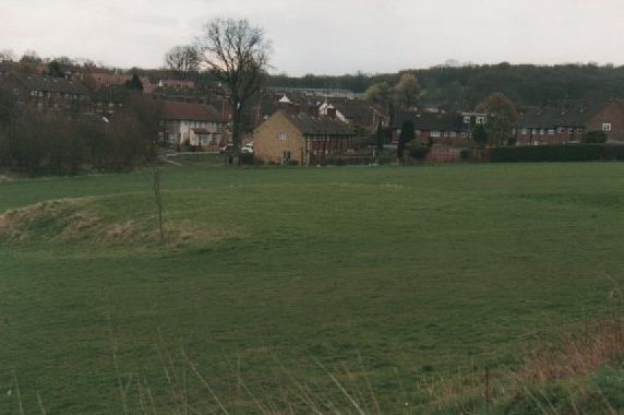
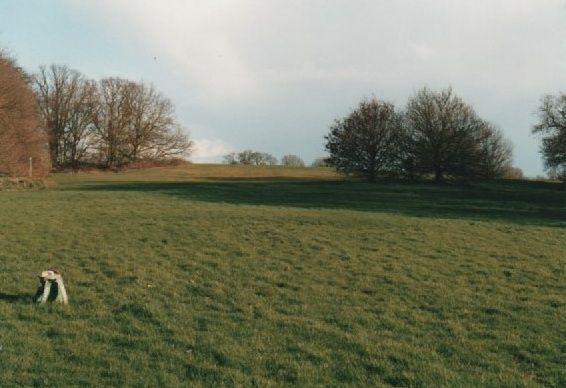
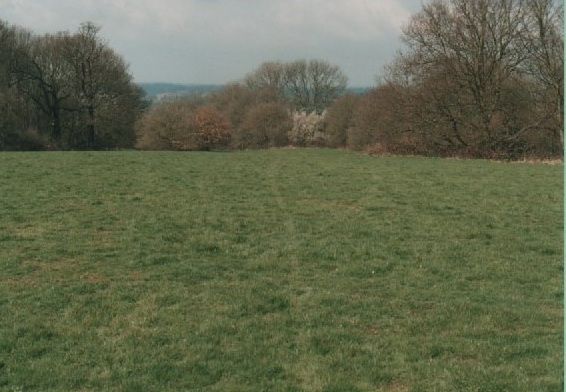
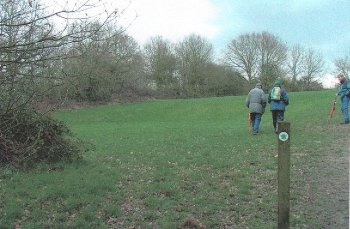
Three places on and beside the estate are worth visiting: the playing fields on the old golf course, Oxhey Woods and Oxhey Chapel (the chapel by arrangement). South Oxhey Playing Fields covers 49 hectares of grass and woodland between Green Lane and Sandy Lane by the council's reckoning, and Three Rivers District Council owns and manages it.13 Other counts are larger, and The playing fields sets them side by side.12,13 ParksHerts lists it as open all year.727
Getting there
By car. Use postcode WD19 4LT for the free car park off Green Lane, in front of the old Pavilion pub.13,727,728 It takes about 60 cars.724,727
By train. Carpenders Park (London Overground, Lioness line) is the nearest station.74,724 parkrun calls it a 1 km, 15-minute walk, but the street route to the car park is about 1.5 km and takes nearer 20 minutes.724,729 For the west end, Moor Park (Metropolitan line) is about 35 minutes' walk by road from the Ashburnham Drive entrance, or you can follow the LOOP from the station across Sandy Lodge golf course.729,730,731
By bus. Route 328 runs roughly hourly along Hayling Road, including at weekends, and stops at Colnbrook School, the nearest stop to the parkrun start.723,724 The Ramblers' 2024 LOOP guide names Arriva's route 8 instead, so check Intalink or Traveline before you travel.731
There are twelve ways into the playing fields, from Hampermill Lane, Highlands, Green Lane, Hayling Road, Bramshot Way, Ashburnham Drive and Sandy Lane.13 The Hampermill Lane and Sandy Lane entrances lead straight into woodland and are easy to miss.13 The board with John Swain's 1920 plan is at the Ashburnham Drive entrance.14,677 There is a second council board at the Green Lane entrance.13,677
Surfaced paths are only in the east.13 Elsewhere you are on mown grass paths and woodland tracks, and parts of the eastern pitches waterlog in winter.13
Fenced, opened September 2023.252 Dogs must be supervised by someone over 16.252
Play areas and outdoor gym
Hayling Road and Ashburnham Drive
Two play areas, with outdoor gym equipment nearby.13,14,735 The Hayling Road play area is due for refurbishment.735
Pavilion Bowls Club
By the tennis courts
New members can drop in from 5.30pm on Mondays and Fridays, mid-April to late September.736
Café
None
parkrun has a pop-up café at its Saturday finish line.724
Toilets
None, or one near the car park
The council says there are none.728 parkrun mentions a disabled toilet between the car park and its start.724
ParksHerts still lists the Pavilion as a pub, so its page is out of date.418,727
parkrun
South Oxhey parkrun starts at 9am every Saturday.737 The first event was held on 31 January 2015.221 It is three clockwise laps of the eastern field, starting near the Hayling Road play area and finishing behind the Pavilion.724 Each lap climbs through trees to the hilltop and returns past the football pitches.724 Event 500, on 3 January 2026, drew a record 392 finishers.221
The London LOOP and the South Oxhey Circular Walk both cross the fields, and the walks you can join meet near by. They are on the Walks page, with our own seven walks through the story.
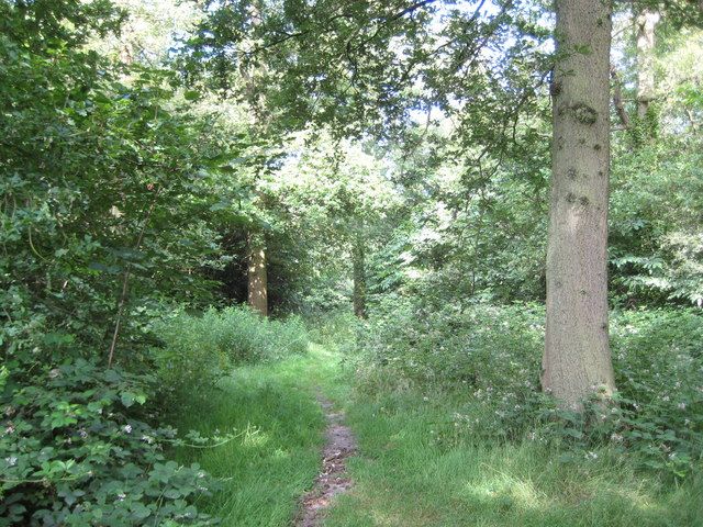
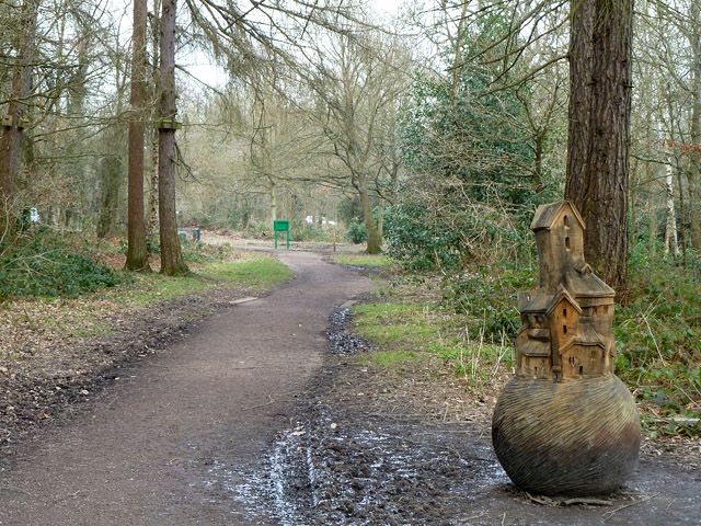
South of the estate, Oxhey Woods is the largest Local Nature Reserve in Three Rivers, about 100 hectares by its own board.308Prestwick Road and Oxhey Drive split it into three parts, and an easy-access sculpture trail starts at the car park in the southern woodland, suitable for young children, wheelchair users and anyone less mobile.308 There are also waymarked circular trails, many footpaths and an orienteering course, and the South Oxhey Circular Walk and the London LOOP both pass through.307,308
The board names the parts of the northern woodland as Old Furze Field, Young Hangings, Old Hangings, Little Furze Field and The Plantation.308 Nineteenth-century maps show the northern tip as open fields, and dense hawthorn there now shelters song thrushes, wrens and robins.308 Around the same time sweet chestnut was planted in The Plantation, a timber valued because it lasts well and splits easily.308
Look for the wild service tree, known as the chequers tree for its patterned bark, whose leaves and berries make the reserve's logo.308 Bluebells flower before the trees come into leaf, and streams leave seasonal ponds where frogs, toads and newts lay their eggs in early spring.308 The council board for the northern woodland stands at its eastern tip, beside Oxhey Drive.308 The history of the woods, and which parts are ancient, is in The old woods.
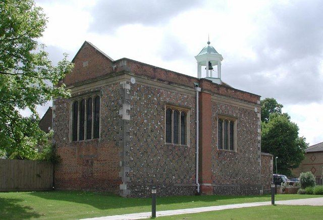
The 1612 chapel stands in Gosforth Lane, WD19 7AX, between All Saints church and its vicarage.317,336 The Churches Conservation Trust's guide puts Carpenders Park station about 400 yards away, but the walk by road is about 800 metres and takes around 10 minutes.729,738 Its story is told in Oxhey Chapel.
The Trust gives no regular opening times, only a contact for enquiries, and its guide says there is a keyholder nearby.317,738 A 2013 photo site says the key could be had from All Saints next door.739 All Saints holds its carol service in the chapel on the last Sunday before Christmas, weather permitting.320 The Trust says only a very small number of its buildings have heating, running water or toilets, so do not count on any here.317
From outside, look for the chequer pattern of flint and red brick, and the timber bell turret with its cupola.19 The east gable has a plaque with the dates 1612 and 1963.19 At the west end are the 1897 entrance, with the date carved beside the top of its arch, and a small railed enclosure holding two graves.19,114,325
The coal duty post
On the railway embankment near Little Oxhey Lane stands a City of London coal duty marker, listed Grade II. Historic England dates it to 1851, but its type and lettering belong to the posts put up under the Act of 1861. It is a type B post cast by the Falkirk Iron Company, with a square stone base, a cast iron shaft with four open panels and a moulded cornice, and a short obelisk above, the whole about one and a half to two metres high.46 Posts like it marked where duty fell due on coal, at first on a line twenty miles round from the General Post Office and from 1861 on the boundary of the Metropolitan Police District.46 This one carries the arms of London and the words Act 24 and 25 Vict. Cap 42, which is the London Coal and Wine Duties Act of 1861, and the duty went to the Bridge Building Fund and helped pay for Tower Bridge.46 Smaller posts of the same system stand in Oxhey Lane, Oxhey Drive and at Batchworth Heath.46
Getting to it is another matter. A local historian who used to push through the undergrowth from the footpath that ran beside Sir James Altham School says more secure fencing has made that difficult.46 The embankment is railway land, so look from the public side and go no further. In the 1950s and 1960s the banks were kept clear of undergrowth so that sparks from steam engines could not set them alight. Older photographs show the obelisk painted white, and children sat by it with their spotting books to watch the expresses on the fast lines.46
Wildlife through the year
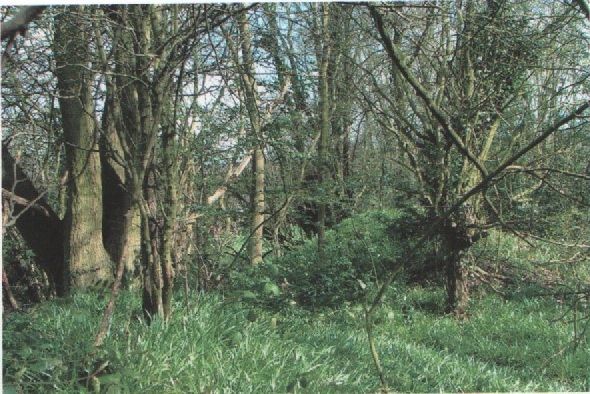
In spring, bluebells carpet the old hornbeam coppice of Ox Pasture Spring and Hampermill Spring.13 The board suggests looking for blue tits, jays and the ring-necked parakeets that now live locally.14 In summer the central meadow grows long, with knapweed and yarrow, and green woodpeckers raid the ant nests.14 Marbled white, ringlet and common blue butterflies have been recorded, along with lesser spotted woodpecker, nuthatch and pipistrelle bats.13
Dogs and mowing
District rules say you must pick up after your dog, keep dogs out of play areas, courts, gyms and skate areas, and walk no more than four at once.13 At parkrun you may run with one dog on a short handheld lead.724
Pitches, mown paths and the parkrun route are cut regularly from April to October.13 The meadows grow until mid-July or August, when about three-quarters is cut after a nesting-bird check.13 The rest stays up in strips until October, so insects and other invertebrates can finish their life cycles.13
Where to find more
The out-of-print report Oxhey Golf Course 1912 to 1952 is by Don Dunham, Neil Hamilton and John Swain.415 There were two versions of it. The full report, written in 2004, ran to only six copies.289 A much shorter version was printed in 2010, and about twenty-five copies were sold at L M Wards, the newsagents in Bridlington Road, at five pounds each. They sold out quickly, and no more were printed once David Reidy's history of the whole estate was under way.289 In 2010 John Swain wrote that copies were in the reference section at Oxhey Library in Bridlington Road and in the clubhouse at Oxhey Park golf club in Prestwick Road.240,415 The club has since closed, so the library is the one to try.289 Three Rivers Museum says on its own site that it is at Basing House in Rickmansworth High Street and that admission is free. In 2012 its Oxhey display covered Dove Cottage, Oxhey Chapel, the St Andrew's precinct and Little Furze, with material from the Celebration of South Oxhey project and a large glazed plate from Clarendon School.549 Bushey Museum holds information and photographs of Ted Ray, who was the Oxhey professional.741
Traces of the golf course
The council's board says traces of the old sandy bunkers can still be seen.14 Here is what to look for, oldest first.
Nelson's Drop
The old quarry, dug for sand, gravel, flints and chalk long before the course opened in 1912. From 1912 to 1935 it made the hazard on the short fifteenth, the ninth after the re-routing. By 2004 people were dumping stolen and burnt-out cars in it. Don Dunham, March 2004, published by permission of Neil Dunham (All rights reserved)The ninth green seen from below, its bunkers long since grassed over. The old quarry lies to the left and Big Wood to the right. The ninth of the later card, the fifteenth on the c.1920 one. John Swain, March 2004, published with his permission (All rights reserved)
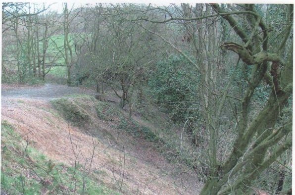
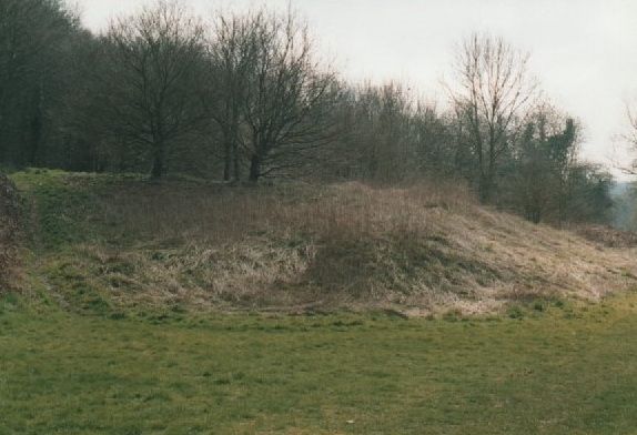
On the north-west side of Big Wood is a deep, steep-sided pit under the trees.12,13 The council calls it medieval, and John Swain takes it to have been dug first in medieval times and worked on into the Victorian era for gravel, sand and chalk.12,13,289 The Ordnance Survey marked it as a chalk pit in 1872 and as an old chalk pit in 1912.50,743 Swain says it was known as Nelson's Drop, the hazard on the famous short 15th hole of the original layout (1912 to 1935).12 The 1872 map also shows a second old chalk pit about 120 m to the west-south-west, and LIDAR still shows a deep hollow there.50,742
Woods, clumps and tee boxes
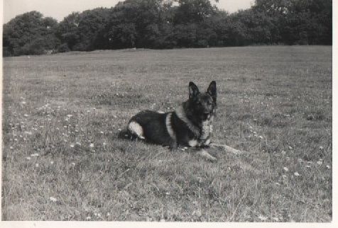
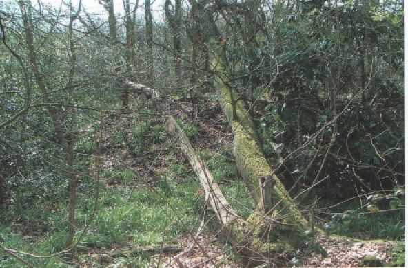
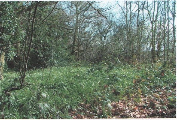
The old sixth fairway in late August 1964, looking north-west to the elevated teebox on the edge of Hampermill Wood. Twelve years after the municipal course closed the ground was still open and close cropped. The dog is Pedlar, the Swain family's Alsatian, who went on patrol in Oxhey Woods with John's father, Sergeant Swain. It was his last walk here; he died a few days later, aged seven. Hole numbers here follow the card used after the 1936 re-routing: the sixth of the later card is the twelfth on the c.1920 one. John Swain, August 1964, published with his permission (All rights reserved)The raised teebox of the sixth, at the edge of Hampermill Wood and by then well overgrown. John Swain remembers it forty years earlier still clear on the woodland fringe, with wooden steps up to the platform. Hole numbers here follow the card used after the 1936 re-routing: the sixth of the later card is the twelfth on the c.1920 one. Don Dunham, March 2004, published by permission of Neil Dunham (All rights reserved)The forward tee of the sixth, the twelfth on the 1912 to 1935 layout. The old maintained edge of Hampermill Wood can still be made out, with the shrub layer pressing in on it. Hole numbers here follow the card used after the 1936 re-routing: the sixth of the later card is the twelfth on the c.1920 one. Don Dunham, March 2004, published by permission of Neil Dunham (All rights reserved)The approach to the eighth green, set in a fold on the edge of Big Wood. The path beyond it leads to the ninth tee and the short hole across the chasm that was known locally as Nelson's Drop. Hole numbers here follow the card used after the 1936 re-routing: the eighth of the later card is the fourteenth on the c.1920 one. John Swain, March 2004, published with his permission (All rights reserved)
The holes wound round woods that are still there: Big Wood, Ox Pasture Spring, Hampermill Wood, Hampermill Spring and Round Spring.1,15,60 A reader identifies the building behind the 15th green on one of the old postcards that Our Oxhey credits to E. Ray as the waterworks pumping station that still stands on Hampermill Lane, which gives a fixed point for lining the picture up.412 A photo from August 1964 in John Swain's collection shows the tee boxes of the 1936 sixth hole beside Hampermill Wood. That photograph is below. The ground in it is open and mown, twelve years after the municipal course closed, which is worth setting beside Don Dunham's view of the same teebox forty years later, by then under holly and ivy.744,74512 The small tree clumps south of Ox Pasture Spring hide deep pits on LIDAR, possibly old workings or overgrown bunkers.13,742
Old lanes and Warren Dell
Green Lane ran through the east end of the course, and its tree avenue survives from the Oxhey Place parkland.1,13,59 Warren Dell, a small wood north of Hayling Road that John Swain's 1920 plan draws beside the old 5th, was already named on the 1890s map.1,58 John Swain says paths worn by interwar players and spectators are now popular with walkers and dog owners.12
The Pavilion
The empty building by the Green Lane car park was the golf clubhouse.1,8,418 Its build date is disputed, 1912 or 1930.8,59,418 It later became The Pavilion pub.1,8,418 The pub closed in 2018 and the building is listed as an Asset of Community Value.418
Hollows in the west
The view west along the line of the 1936 to 1946 third fairway, beside what is now Ashburnham Drive. The artificial mounds at the foot of the slope have gone under trees and bushes. The pylon at the western end has stood here since July 1955. Hole numbers here follow the card used after the 1936 re-routing: the third of the later card is the ninth on the c.1920 one. John Swain, March 2004, published with his permission (All rights reserved)
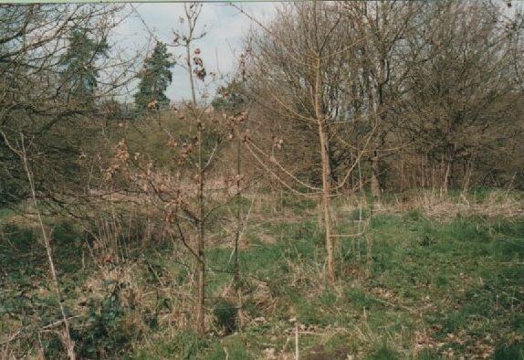
The western end was left to grow over from the 1950s, according to John Swain. A 2024 reader update to the Trailblazer LOOP guide says bunkers and greens could be made out there until the 1970s, and Swain could still clearly see one of the old greens in March 2004.7,677 The council says shallow hollows across the site could be quarrying, bunkers, sink holes, dry ponds, ditches or wartime bombs.13 LIDAR shows a scatter of such hollows in the western meadow and south-west of Big Wood, some with raised lips.742 LIDAR cannot tell a bunker from a bomb crater, so none of them can be identified with confidence.13,742
The smooth east end
Neil Hamilton and John Swain standing in the line of the old eighth fairway at the edge of Hampermill Wood, looking east towards Big Wood. They reckoned that trees and shrubs had come at least thirty metres onto the cut grass of the fairway since the 1960s, and the photograph shows it: the open ground is the gap between them. Hole numbers here follow the card used after the 1936 re-routing: the eighth of the later card is the fourteenth on the c.1920 one. Don Dunham, 24 March 2004, published by permission of Neil Dunham and Neil Hamilton (All rights reserved)Looking east along the line of the eighth fairway towards Big Wood. Hole numbers here follow the card used after the 1936 re-routing: the eighth of the later card is the fourteenth on the c.1920 one. John Swain, March 2004, published with his permission (All rights reserved)
John Swain says the course's only water hazard lay beside the final green of the original layout (1912 to 1935), next to the clubhouse.12 The lower ground west of Green Lane was levelled in the 1950s for football, cricket and rugby. The pitch-and-putt course of the early 1960s was not on it but on the strip between Green Lane and Prestwick Road, where the Oxhey Park nine-hole course was laid out in 1991.2897,12,677 On LIDAR it is smooth, with the edge of a large levelled platform.742
The humps and the dells
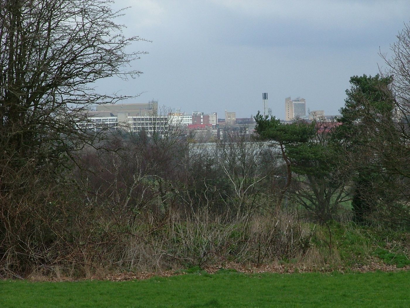
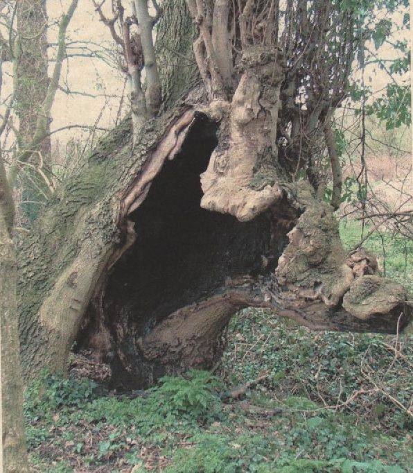
Looking north to Watford from the line of the eighth fairway, about halfway between Hampermill Wood and Big Wood. In the 1950s this view was dominated by three churches, Holy Rood, St Mary's and the spire of the Wesleyan Methodist church in Queens Road, along with the Benskin's building and the Vicarage Road floodlights that went up late in 1953. By 2004 the tower blocks had taken over, though the 117-foot tower of Holy Rood, finished in 1900, still shows. John Swain notes that the view is now a winter one only, and that the old vantage points on the three hills have gone under the scrub. Hole numbers here follow the card used after the 1936 re-routing: the eighth of the later card is the fourteenth on the c.1920 one. Don Dunham, 24 March 2004, published by permission of Neil Dunham (All rights reserved)The artificial mounds that separated the 1936 seventh green from the eighth fairway. In the 1950s people stood on them to look north over the Colne valley to the Watford skyline; fifty years on they carry ash, oak, holly and hazel over ivy and bramble. Hole numbers here follow the card used after the 1936 re-routing: the seventh of the later card is the thirteenth on the c.1920 one, the eighth of the later card is the fourteenth on the c.1920 one. Don Dunham, March 2004, published by permission of Neil Dunham (All rights reserved)A hollowed-out tree behind Fulford Grove, close to where the first green lay. Don Dunham, March 2004, published by permission of Neil Dunham (All rights reserved)The ninth green, more than fifty years after the course closed. The ninth of the later card, and the fifteenth on the c.1920 one: the short 110-yard hole beside the old chalk pit. John Swain, March 2004, published with his permission (All rights reserved)
Children on the estate had their own names for parts of the old course. A resident who had riding lessons on a pony about 1960 rode round what they called the three humps, which he says are still there but now covered in trees.680 Another remembers a steep hill down to them that children sledged on old trays when it snowed.680 Just beyond the humps was a dell in the woods.680 Behind Hayling Road were more hollows, which children called the First Dell or Big Dell.312 Neither name can be matched to a feature on the map with any confidence.
One old bunker there gave way. After a night of heavy rain, children were throwing stones into a bunker behind Hayling Road that was nearly full of water when a hole about a metre and a half across opened a few feet from them, the water drained straight down it, and the sides began to slide in.312 They remembered a buried water tap about twenty feet away, between the bunker and the First Dell, probably left from watering the green above and used later by fairground workers when the fair came.312 Another resident remembers a large hole opening at the lower end of Hayling Road near one of the dells after overnight rain, in the mid 1960s.312
John Swain doubts that the ground here can swallow itself the way it did in Oxhey village in 1927. He says the estate is about three quarters underlain by thick London Clay, and that the chalk comes closer to the surface only towards the old village.312 The council's plan still lists sink holes among the possible causes of the hollows on the site.13
The plateau green of the sixth, with the third fairway beyond and the houses of Bramshot Way across the valley. Oxhey Woods is on the skyline. Hole numbers here follow the card used after the 1936 re-routing: the sixth of the later card is the twelfth on the c.1920 one. John Swain, March 2004, published with his permission (All rights reserved)Looking up the line of the tenth fairway, on the highest part of the course, with Big Wood away to the left. This is the tenth of the card used after the 1936 re-routing. On the c.1920 card it was the sixteenth, played south-south-east from the high ground north of the chalk pit. John Swain, March 2004, published with his permission (All rights reserved)The northern edge of the old course, looking back towards the tenth tee. The ground beyond falls away north-west over the Colne valley towards Croxley Green. John Swain, March 2004, published with his permission (All rights reserved)
The walk of 24 March 2004
The three who walked the old course with Don Dunham on 24 March 2004 and wrote down what they found: Neil Hamilton, John Swain and Dave Dunham. Much of what this page can tell you about the ground comes from that morning. Hole numbers here follow the card used after the 1936 re-routing: the ninth of the later card is the fifteenth on the c.1920 one. Don Dunham, 24 March 2004, published by permission of Neil Dunham and of all three men in the photograph (All rights reserved)
A good deal of what this page can tell you was worked out on one morning. On 24 March 2004 four men walked the old course together: Don Dunham, grandson of the head greenkeeper and the keeper of the family's papers, his brother Dave, the local historian Neil Hamilton, and John Swain, who knew the golf and could still name the features on the ground.425,745,746 Don and John both carried cameras, and between them they photographed the greens, the tee boxes, the quarry and the fairway lines before the scrub closed over several of them.745,746 Most of the 2004 photographs on this site came from that walk, and for some of what they recorded they are now the only picture there is.
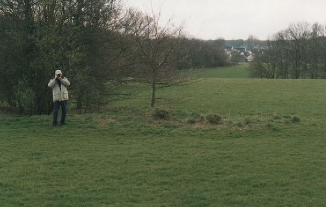
John Swain photographed Don Dunham on the seventh fairway, camera to his face, in the act of making the record. Most of the 2004 photographs on this site are the ones he was taking at that moment. Hole numbers here follow the card used after the 1936 re-routing: the seventh of the later card is the thirteenth on the c.1920 one. John Swain, 24 March 2004, published with his permission and Neil Dunham’s (All rights reserved)
Swain photographed Dunham at work on the seventh fairway, camera up to his face.405,746 It is worth looking at for a moment, because the pictures he was taking at that instant are the ones further up this page.
They were not identifying things from memory alone. Don had his grandfather's notes and his own plan of the course, and the four of them were checking one against the other on the ground.402,404 Twenty-two years later Neil Hamilton, John Swain and Dave Dunham each gave their permission for this photograph, and Don Dunham's son Neil gave his for his father's pictures, which is why any of it can be shown here.289,405,425
The Oxhey Golf Club clubhouse, later The Pavilion pub, which closed in 2018 and is now empty and listed as an Asset of Community Value. Sources give its build date as 1912 or 1930.1,8,59,418
Free car park for visitors in front of the old Pavilion, postcode WD19 4LT. parkrun says it takes about 60 cars. A second copy of the council board, with John Swain's plan, stands where the path from the car park enters the fields.5,13,14,724,728
The leisure area refurbished in 2023, with two tennis courts booked through LTA Play, a multi-use games area, the skate park, table tennis and the fenced dog enrichment area.5,251,252,728,732
This lower end was levelled in the 1950s for football, cricket and rugby, according to a 2024 reader update to the Trailblazer LOOP guide, and a pitch-and-putt course followed in the early 1960s. LIDAR shows the edge of a large levelled platform here.7,12,677,742
A wooded dell named on the 1890s OS map and drawn beside the old 5th hole on the reconstructed 1920 plan. Its name lives on in Warren Dell Primary School.1,5,58,59
Old estate cottages and outbuildings just north-west of the clubhouse, shown on the 1912 to 1913 OS map. A lodge of this name appears in a 1601 sale of the estate, though no source we found proves it is the same building. John Swain says they stood until the late 1950s.18,40,59
The deep pit that John Swain names as Nelson's Drop, the hazard on the famous short 15th hole of the original layout (1912 to 1935). The OS marked it as a chalk pit in 1872 and as an old chalk pit in 1912. The council records a capped 15 m shaft in its old chalk pit, most likely this one, so look from the edge only.12,13,50,743
LIDAR shows a deep crescent-shaped pit in the trees here, where the 1872 OS map marks an old chalk pit that the 1912 revision no longer draws. It lies close to a round feature on the old 14th in John Swain's plan. Its sides are steep, so look from the edge only.14,50,742,743
A small round hollow in the northern grass, picked out on LIDAR. It could be an old bunker, a bomb crater or something else, so treat it as a low-confidence trace.13,742
LIDAR shows a neat round hollow with a raised rim here and a second one about 65 m to the east. They may be bunkers or bomb craters, and the identification is low confidence.12,13,742
LIDAR shows deep, irregular pits inside the small tree clumps south of Ox Pasture Spring. They could be old workings or bunkers that trees have since covered, and neither reading is confirmed.13,742
A photo from August 1964 in John Swain's collection shows the tee boxes of the 1936 sixth hole beside Hampermill Wood. Under the 1936 renumbering that hole was most likely the 1920 twelfth, so this pin marks the plotted twelfth tee and the spot is approximate.1,12
Gravel pits dug between the wars and then flooded, now a private fishing lake. You can see it from Watford Rural public footpath 2, which crosses the Colne near Hamper Mill.757,758
The Hartsbourne stream passes under Green Lane here on its way north-west to the River Colne. The reconstructed 1920 1st green lay close by. In August 1946 the club minutes expected a new London County Council road on the north-east edge of the course to take the 13th green, which under the 1936 renumbering was probably this old 1st green.1,3,5
Coming from Moor Park, the LOOP crosses Sandy Lane by the traffic island at the petrol station and enters the woods through a green metal squeeze barrier just past the Sandy Lodge Lane junction.5,731
The council board with John Swain's 1920 plan stands here, close to the metal kissing gate where the LOOP leaves the fields for Ashburnham Drive.5,14,677,731