Matlock Crescent
Probably named after Matlock Golf Club, founded in 1906, in Matlock, Derbyshire, England.
The 1896 map shows what was here before the estate. Drag the round handle to compare it with today.
The name
Matlock Crescent probably takes its name from Matlock Golf Club. The course was opened in 1907 with exhibition matches involving Vardon, Duncan and Herd.
Where the club's facts come from: Club History, the club's own history.
How sure we are of the match: Likely
The estate's streets were named after golf courses. The streets page explains how each match was made.
In the story
- Farms and fields: Oxhey Place and Ranger's Farm
By the 1960s the farmhouse site was under the houses of Lincoln Drive and Matlock Crescent. - Building the Estate: The builders
The firm of W Old was the contractor for Corbett House and Silkin House, two eight-storey blocks of 24 flats each on Lincoln Drive and Matlock Crescent, approved by Watford Rural District Council in 1960 and built in 1962 and 1963. - Silkin House and Corbett House (site)
Local historian Neil Hamilton places them on Lincoln Drive, opposite St Joseph's School, and the 1960s Ordnance Survey shows them in Matlock Crescent, between Lincoln Drive and Ainsdale Road.
On the timeline
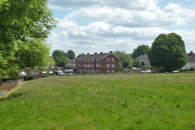
- 1962 to 1963 Corbett House and Silkin House, two eight-storey blocks of flats approved in 1960, go up on Lincoln Drive and Matlock Crescent. Both have since been demolished and replaced by houses.
Close by
Buildings
- Silkin House and Corbett House (site) 30 m
- St Joseph's Catholic Primary School 130 m
- Site of Oxhey Place farm 140 m
- Oxhey Place, the estate's first clinic (site) 140 m
- Oxhey Woods Local Nature Reserve 180 m
Ancient woods
- Oxhey Woods, northern part (Old and Young Hangings, Little Furze Field, The Plantation) 180 m
- Ox Pasture Spring (by Gosforth Lane) 360 m
- Oxhey Woods, central part (Beck Mason's Wood) 420 m
Walk stops
- Site of the home farm 140 m
Farms and lost houses walk - Site of Oxhey Place 140 m
The heart of the estate walk - Site of Oxhey Place 140 m
Farms and lost houses walk
Distances are in a straight line from a point on the street.