Farms and lost houses
The farms, lodges and big house that the estate replaced, from the Oxhey Place home farm to the warren lodge of 1601. The map at southoxhey.org/map/ has an 1896 layer that shows what stood here.
Start: Oxhey Chapel, Gosforth Lane. Route: a loop with 8 stops. Underfoot: Pavements, and a short stretch of grass on the playing fields.
Google Maps shows every stop in its app or on a computer. In a phone's web browser it can leave stops out, so follow the map on this page or use the GPX file.
The route follows paths and pavements where they exist, and goes straight across open grass where they don't. Paths are drawn from OpenStreetMap, so check the ground as you go.
- 1
Oxhey Chapel
Sir James Altham built the chapel in 1612. In 1889 H. J. Foley found it standing alone in a field beyond the farm. Read more →
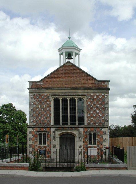
The west front of Oxhey Chapel in 2003, with the bell turret and cupola added in the 1960s restoration. © John Salmon, Geograph (CC BY-SA 2.0) - 2
Site of Oxhey Place
The Blackwells' mansion, finished by 1910, with about fifty rooms and a carved oak ceiling. It burned on 4 July 1960 and was pulled down that summer. Read more →
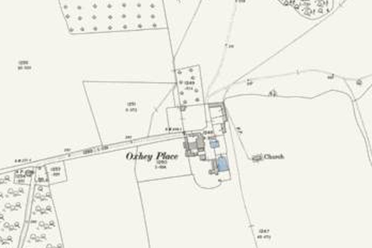
Oxhey Place on the Ordnance Survey map revised in 1896: by then a farm, with the chapel (marked "Church") in the field beside it. 25-inch map, revised 1896. Ordnance Survey, reproduced with the permission of the National Library of Scotland (CC BY 4.0) - 3
Site of the home farm
The Oxhey Place farm had a farmhouse, big barns, a granary and a cottage that had once been a dove cote. Its site is under Lincoln Drive and Matlock Crescent. Read more →
- 4
Paddock Spring
The estate's timber yard and sawpit stood at this way into the woods. One of its old cottages is said to have been the estate's first police station. Read more →
- 5
Park Pond and Pond Wood
A large pond with stepped banks lay here, where Oxhey Wood Primary School now stands. Pond Wood beside it survives. Read more →
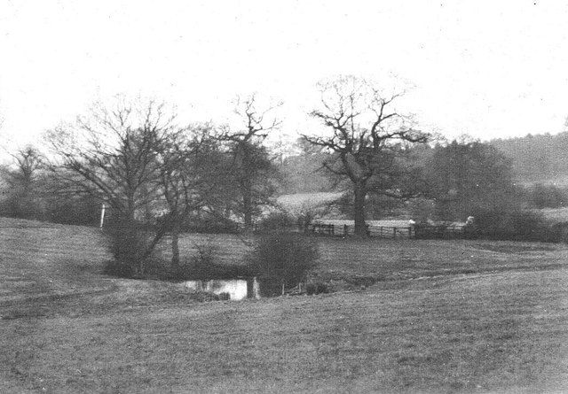
A pond beside Pond Wood, probably Park Pond, in a photograph its owner believes was taken in the late 1930s, before the estate. © A.C.Burgess, Geograph (CC BY-SA 2.0) - 6
Site of Oxhey Warren
Maps from 1896 to the 1960s show a small house called Oxhey Warren at the fork of Green Lane. The lime avenue here dates from parkland of around 1820. Read more →
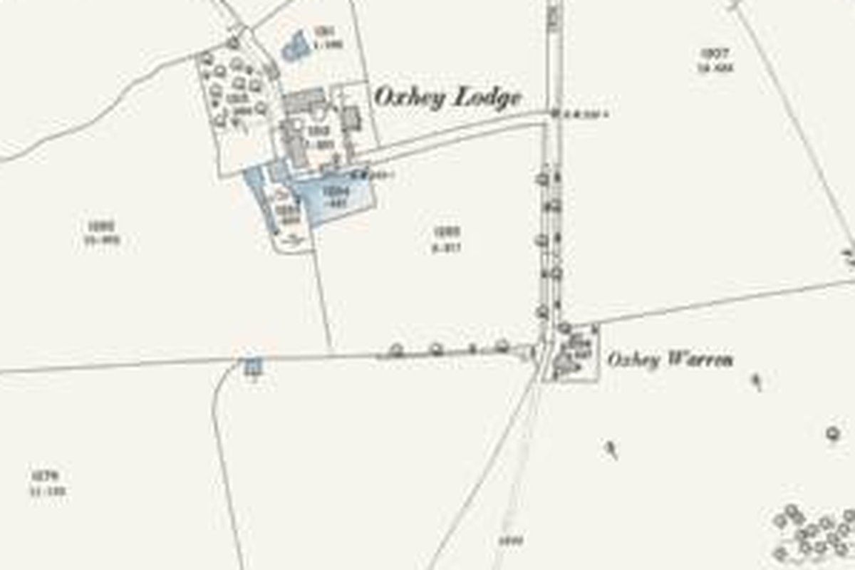
Oxhey Lodge farm and Oxhey Warren in 1896. The golf clubhouse was built beside them in 1912. 25-inch map, revised 1896. Ordnance Survey, reproduced with the permission of the National Library of Scotland (CC BY 4.0) - 7
Oxhey Lodge
The warren lodge "called Edeswick or Oxhey Lodge" was sold in 1601. The farmhouse stood until the late 1950s, and a short road here keeps the name. Read more →
- 8
The Pavilion
A golf clubhouse stood here from 1912, on the old farm ground. Head back south down Green Lane to the chapel. Read more →
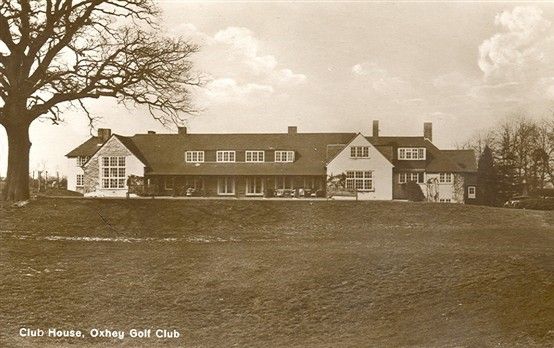
Old postcard: the Club House, Oxhey Golf Club. Bill the Brit, via Wikimedia Commons (CC BY-SA 4.0)