The heart of the estate
From Carpenders Park station through the rebuilt centre to the 1612 chapel and the site of Oxhey Place, the house the estate replaced.
Start: Carpenders Park station. Route: a loop with 9 stops. Underfoot: Pavements all the way, with one short path past Pond Wood.
Google Maps shows every stop in its app or on a computer. In a phone's web browser it can leave stops out, so follow the map on this page or use the GPX file.
The route follows paths and pavements where they exist, and goes straight across open grass where they don't. Paths are drawn from OpenStreetMap, so check the ground as you go.
- 1
Carpenders Park station
The first station here was a wooden halt for golfers. This one came into use on 17 November 1952 and was formally opened on 27 September 1954. Read more →
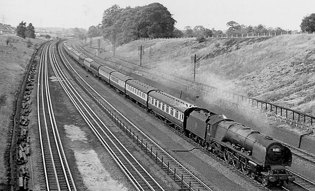
A steam express on the main line near Carpenders Park in July 1957, a few years after the new station opened. © Ben Brooksbank, Geograph (CC BY-SA 2.0) - 2
Station Square
Rebuilt as part of South Oxhey Central, the new town centre, with new shops beside the entrance to the station tunnel. Read more →
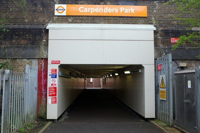
The station entrance and foot tunnel at Carpenders Park in 2022. © Stephen McKay, Geograph (CC BY-SA 2.0) - 3
The old precinct
St Andrew's Road, the big shops, was the heart of the estate. The precinct, its flats and The Ox pub came down between 2018 and early 2021 to make way for South Oxhey Central. Read more →
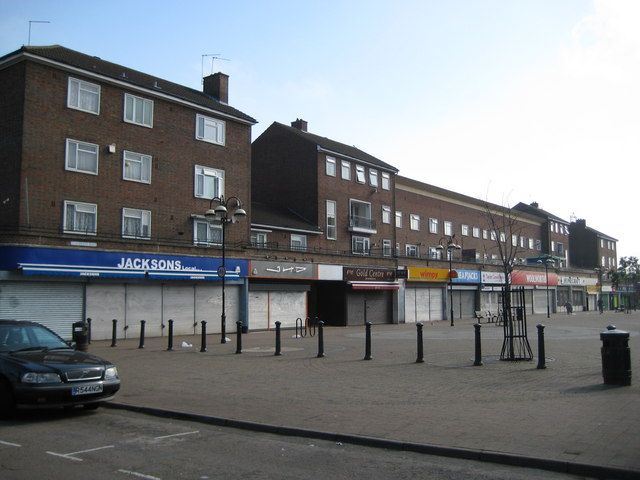
The St Andrew's Road precinct in June 2009, before it was demolished for South Oxhey Central. © Nigel Cox, Geograph (CC BY-SA 2.0) - 4
The library
The library opened here in 1962, was remodelled in 2009, and kept its place beside the new blocks. Read more →
- 5
Pond Wood
An ancient wood that was a plot of Oxhey Place farm in 1872, beside a large pond called Park Pond. Its old hornbeams were still being pollarded in the estate's early years. Read more →
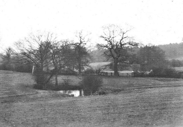
A pond beside Pond Wood, probably Park Pond, in a photograph its owner believes was taken in the late 1930s, before the estate. © A.C.Burgess, Geograph (CC BY-SA 2.0) - 6
Oxhey Chapel and All Saints
Sir James Altham built the chapel in 1612. The first council tenants worshipped here from 1948, until All Saints was built next door. The Churches Conservation Trust now looks after the chapel. Read more →
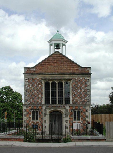
The west front of Oxhey Chapel in 2003, with the bell turret and cupola added in the 1960s restoration. © John Salmon, Geograph (CC BY-SA 2.0) - 7
Site of Oxhey Place
The Blackwells' mansion stood about here. It held the new estate's first surgery and clinic, lay empty by the end of the 1950s and was gutted by fire on 4 July 1960. Read more →
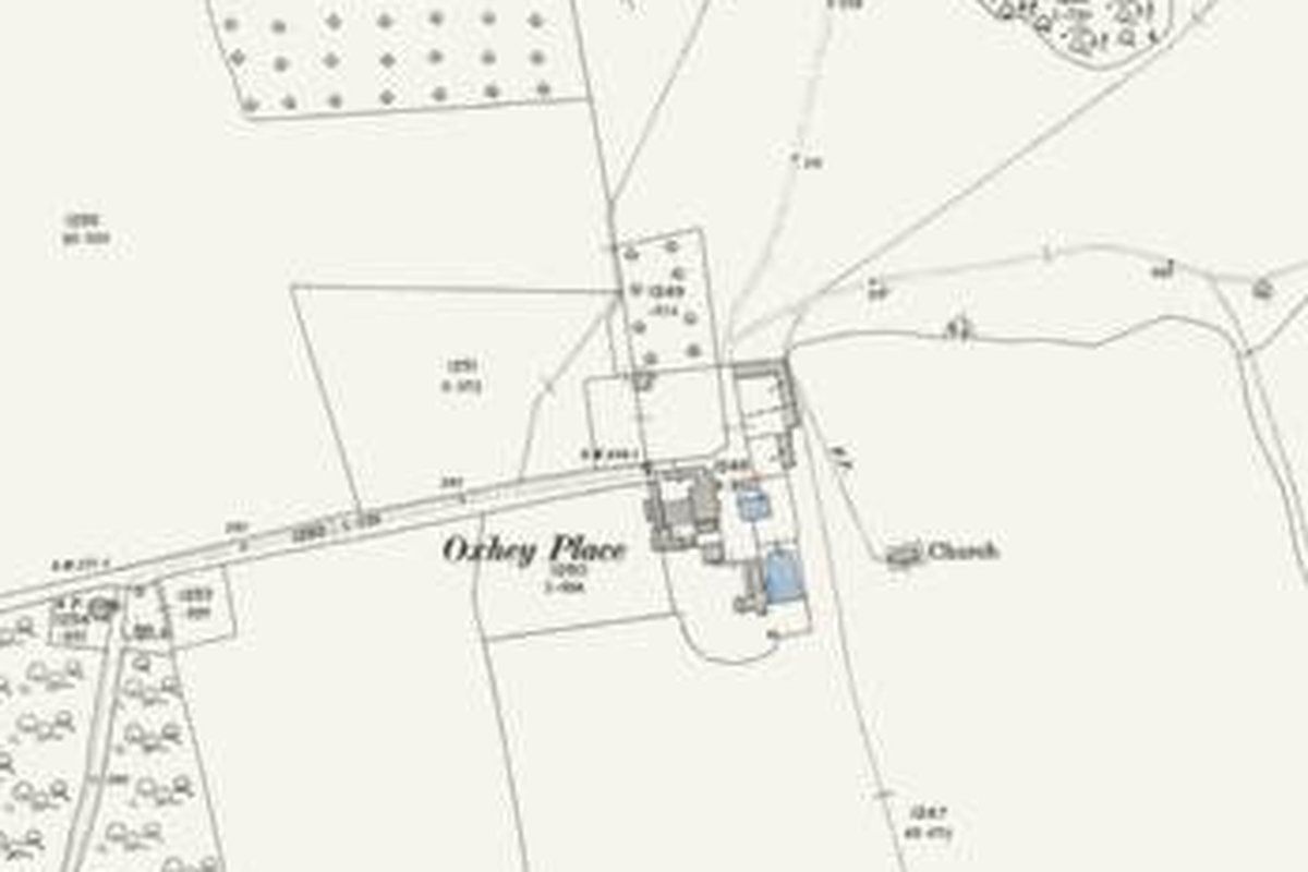
Oxhey Place on the Ordnance Survey map revised in 1896: by then a farm, with the chapel (marked "Church") in the field beside it. 25-inch map, revised 1896. Ordnance Survey, reproduced with the permission of the National Library of Scotland (CC BY 4.0) - 8
Warren Dell School
The estate's first school, which took its first pupils in May 1949. Read more →
- 9
Site of Oxhey Warren
Oxhey Warren stood by the lane here. The golf clubhouse, now the Pavilion, is just ahead. Turn back here for the station, or carry on into the lost golf course walk. Read more →
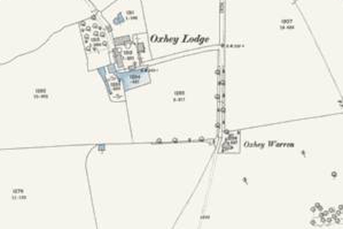
Oxhey Lodge farm and Oxhey Warren in 1896. The golf clubhouse was built beside them in 1912. 25-inch map, revised 1896. Ordnance Survey, reproduced with the permission of the National Library of Scotland (CC BY 4.0)