Carpenders Park station (1952)
Drag the round handle to slide between the old map (left) and today (right). On a phone, tap the map once to move it.
Then
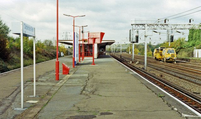
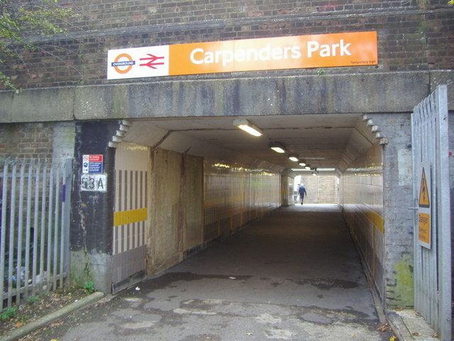
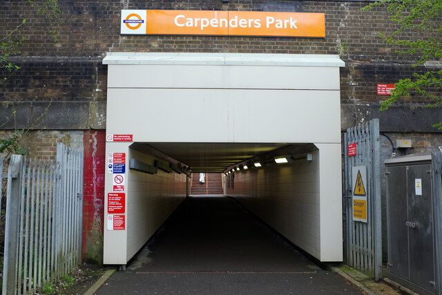
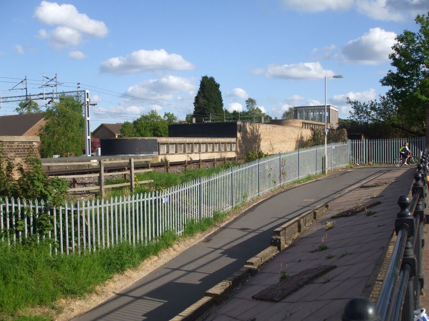
The present station, a short way south of the old wooden halt, came into use on 17 November 1952 and was formally opened on 27 September 1954. Bakerloo line trains called here until 1982. Passengers came down Station Approach by steps or a longer ramp, through the underpass and up a long ramp to the ticket office, passing a machine that sold half a pint of milk or orange for sixpence, cast iron chocolate machines and a cigarette machine, with a ticket collector at the barrier and a paper shop open at peak times.5,64,74,218,219,301,619
Now
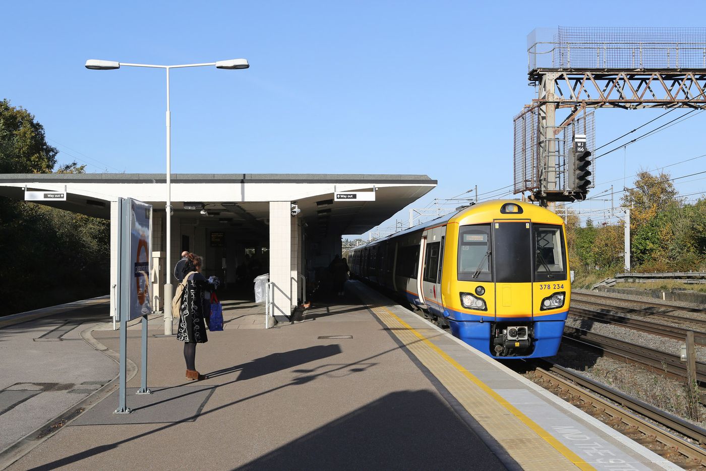
It is a London Overground station on the Lioness line. The blue plaque for the centenary of the first station was unveiled at one o'clock on 1 April 2014 before a crowd of more than 50, by a representative of London Overground Rail Operations, with Watford Rural Parish Council paying for it, and an exhibition on the station's history followed at Oxhey Library.
Mentioned in
- Farms and fields: The dairy farm at Oxhey Lane Before the Estate
- Building the Estate: A proper station Building the Estate
- Getting about: Walking and cycling Life on the Estate
- Getting about: Buses Life on the Estate
- Clubs, sport and events: Music and the beat groups Life on the Estate
- Change and renewal: Measuring deprivation Renewal
- The playing fields: Sport and play on the fields Renewal
- Visit and look for: Oxhey Chapel Visit
- The heart of the estate Walk
- Streets of 1947 to 1953 Walk
- Walks Visit
Position from OpenStreetMap. See Sources and method.