Streets of 1947 to 1953
Follow the estate as it was built, from the railway end where work began in 1946 to the west end that came last, with the council's own photographs of 1951 at the stops.
Start: Carpenders Park station. Finishes at the Hallowes Crescent shops, where buses run back. Route: one way with 10 stops. Underfoot: Pavements all the way, with some gentle hills.
Google Maps shows every stop in its app or on a computer. In a phone's web browser it can leave stops out, so follow the map on this page or use the GPX file.
The route follows paths and pavements where they exist, and goes straight across open grass where they don't. Paths are drawn from OpenStreetMap, so check the ground as you go.
- 1
Carpenders Park station
Building began here at the railway end in October 1946. The Unit Construction Company laid the roads and sewers for the whole site and built the first 1,000 houses. Read more →
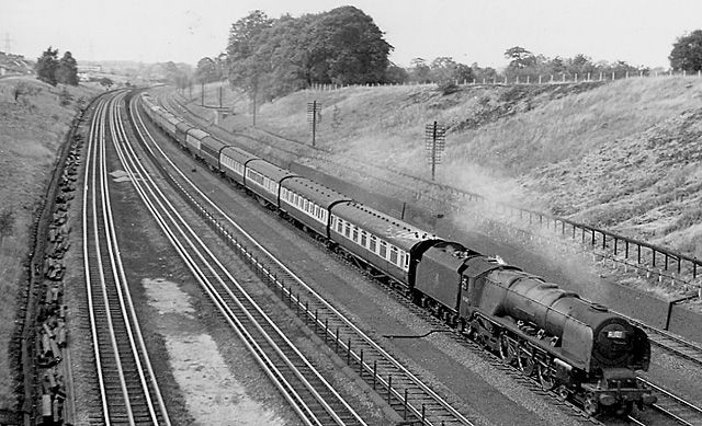
A steam express on the main line near Carpenders Park in July 1957, a few years after the new station opened. © Ben Brooksbank, Geograph (CC BY-SA 2.0) - 2
Puttenham Close
Not everything went strictly east to west. Families were still moving into Puttenham Close, on the east side, in 1951. Read more →
- 3
Birkdale Gardens
The council photographed this street on 9 July 1951, with a big old tree kept from the farmland and chestnut paling round the new plots. Read more →
- 4
Hayling Road
In November 1947 the first tenants, a couple from Paddington, were given the keys to a new Hayling Road house by Lady Nathan, chair of the London County Council. It was one of a terrace of four with three bedrooms and a kitchen big enough to eat in. Read more →
- 5
Trevose Way
One of the council's 1951 photographs, with an old oak left standing beside the new terraces. Read more →
- 6
Harewood Road
Photographed on 9 July 1951, with its curving road and houses with low, swept roofs. Read more →
- 7
Fulford Grove
Children on the new pavements here were caught by the council photographer in July 1951. Read more →
- 8
Site of The Jet
The Jet pub stood at the corner of Holmside Rise. It was pulled down in 2011, and eight new houses on the site were among the first homes of South Oxhey Central in 2017. Read more →
- 9
Blairhead Drive
The far west was built last. Residents remember moving into Blairhead Drive in May 1951, and nearby Arbroath Green in June, when there were still no proper roads or pavements. Read more →
- 10
Hallowes Crescent shops
The parade that served the west end, photographed by the council in February 1953. It had a butcher, baker, grocer, chemist and a hardware shop with the sub-post office. Read more →