The Pheasant, later The Ox (site)
Built by 1961Demolished
Compare today with
Big map →
Drag the round handle to slide between the old map (left) and today (right). On a phone, tap the map once to move it.
Then
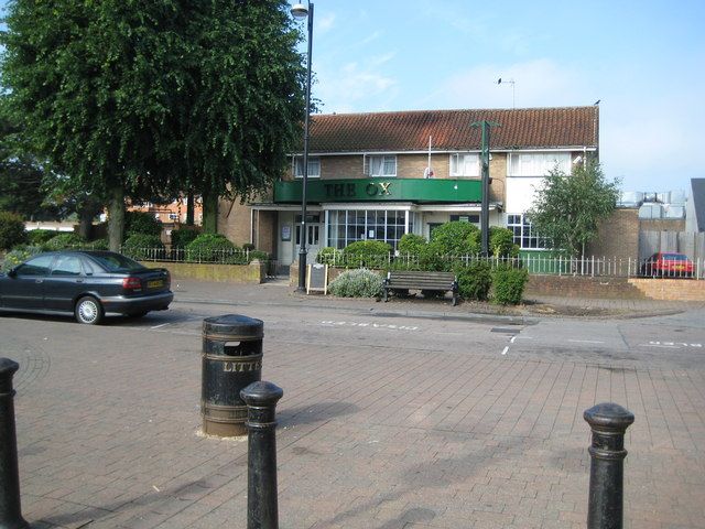
Opened as The Pheasant and later renamed The Ox, this pub stood on the west side of Bridlington Road, just south of the library and across the road from the shopping precinct. It was open by 1961.25,119,165,237,596
Now
It was demolished on 4 May 2018 during the redevelopment of the area, and housing now stands on the site, as it does on the sites of the Jet and the Grapevine.
Mentioned in
- Shops, pubs and services: The five pubs Life on the Estate
- Rebuilding the centre: Phase 2: the market square Renewal
Position from old Ordnance Survey maps and OpenStreetMap. See Sources and method.