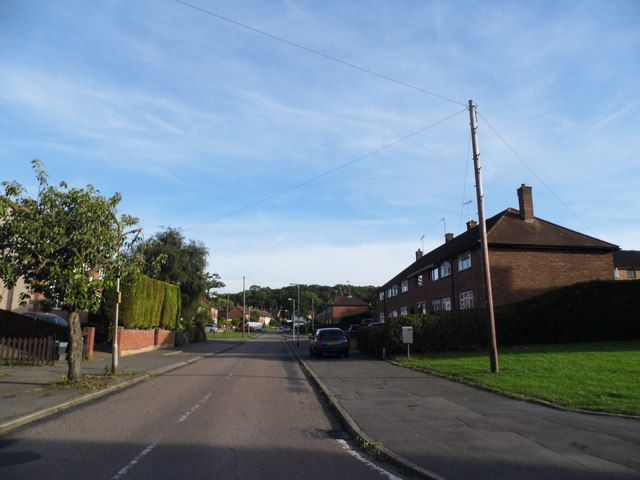
Embleton Road
Probably named after Dunstanburgh Castle Golf Course, Embleton, founded in 1900, in Embleton, Northumberland, England.
The 1896 map shows what was here before the estate. Drag the round handle to compare it with today.
The name
Embleton Road probably takes its name from Dunstanburgh Castle Golf Course, Embleton. The ruins of Dunstanburgh Castle loom over the links, which were laid out in 1900 and later redesigned by James Braid.
Where the club's facts come from: The Golf Links, Dunstanburgh Castle Golf Course, the club's own history.
How sure we are of the match: Likely
The estate's streets were named after golf courses. The streets page explains how each match was made.
We have not yet found anything written about this street itself. If you know when it was built or who first lived there, that would help.
Close by
Buildings
- Oxhey Woods Local Nature Reserve 170 m
- The Jet (site) 200 m
- Salvation Army hut (site) 220 m
- Hallowes Crescent shops 250 m
- The Crescent Club (site) 260 m
Ancient woods
- Oxhey Woods, northern part (Old and Young Hangings, Little Furze Field, The Plantation) 170 m
- Ox Pasture Spring (by Gosforth Lane) 250 m
- Big Wood 260 m
Walk stops
- Site of The Jet 200 m
Streets of 1947 to 1953 walk - Blairhead Drive 210 m
Streets of 1947 to 1953 walk - Hallowes Crescent shops 250 m
Streets of 1947 to 1953 walk
Distances are in a straight line from a point on the street.