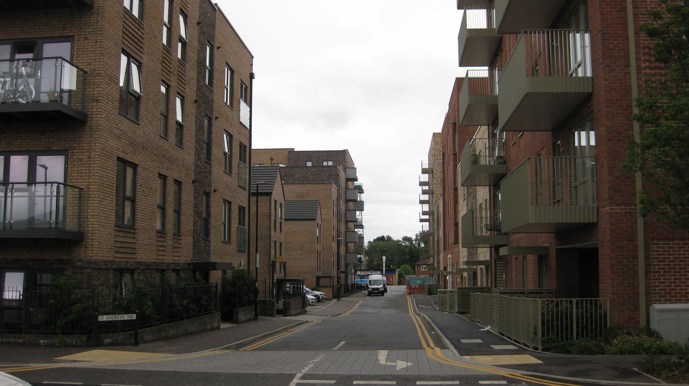
St Andrews Way
Probably named after The Old Course at St Andrews, in St Andrews, Fife, Scotland.
The 1896 map shows what was here before the estate. Drag the round handle to compare it with today.
The name
St Andrews Way probably takes its name from The Old Course at St Andrews. The Old Course is considered the oldest golf course in the world, and has hosted the Open 30 times since 1873.
Club dates: golf played for centuries, Society of St Andrews Golfers 1754.
Where the club's facts come from: Old Course at St Andrews - Wikipedia.
How sure we are of the match: Likely
The estate's streets were named after golf courses. The streets page explains how each match was made.
In the story
- Rebuilding the centre: Phase 2: the market square
The new blocks are Clarendon Court, Graham Taylor Place, Corbie House, Warneford House, Pearkes House, Blackwell Place and Hampden Place, on Bucknall Place, Bridlington Road, Prestwick Road, Fairfield Avenue and the new St Andrews Way, which follows the line of the old St Andrew's Road.
Close by
Buildings
- St Andrew's precinct (site) 0 m
- Oxhey Library 90 m
- The Pheasant, later The Ox (site) 120 m
- The LCC estate office, 37 Oxhey Drive 140 m
- Station Approach and the new square 150 m
Ancient woods
- Pond Wood 200 m
- Sandpit Wood, railway strip 360 m
- Oxhey Woods, northern part (Old and Young Hangings, Little Furze Field, The Plantation) 700 m
Walk stops
- The old precinct 0 m
The heart of the estate walk - Site of the old precinct 0 m
Schools, churches and shops walk - The library 90 m
The heart of the estate walk
Distances are in a straight line from a point on the street.