Ashburnham Drive
Named after Ashburnham Golf Club, founded in 1894, in Burry Port, Carmarthenshire, Wales.
The 1896 map shows what was here before the estate. Drag the round handle to compare it with today.
The name
Ashburnham Drive takes its name from Ashburnham Golf Club. Harry Vardon played it twice and said it was the course he liked best in Wales.
Where the club's facts come from: History | Ashburnham Golf Club, the club's own history.
How sure we are of the match: Strong
The estate's streets were named after golf courses. The streets page explains how each match was made.
In the story
- Oxhey Golf Club: The great days
They are the only known pictures of a crowd on this course. One shows players walking up the third fairway, along the line of what is now Ashburnham Drive, with Big Wood on the skyline; John Swain takes the tall man second from the right to be Alf Padgham, who had won the Open at Hoylake that July. - Ted Ray
The council's information board at the Ashburnham Drive entrance to the playing fields carries a plan of the 1920 course drawn by John Swain, who lived in South Oxhey from 1953 to 1965. - Hole 9
The hole ran west, 50 to 60 metres in from the Hayling Road and Ashburnham Drive houses, to a green just north-west of the Ashburnham Drive entrance. - Hole 10
From near the Ashburnham Drive entrance the hole ran west along the edge of the Hampermill Spring woodland to a green in the south-west corner of the fields, about 75 metres from Sandy Lane. - Building the Estate: The estate goes up
The far west came last: Blairhead Drive in May 1951, Arbroath Green in June 1951, when there were still no proper roads or pavements, Nairn Green in 1951, and Ashburnham Drive in about 1952 or 1953. - Visit and look for: Getting there
For the west end, Moor Park (Metropolitan line) is about 35 minutes' walk by road from the Ashburnham Drive entrance, or you can follow the LOOP from the station across Sandy Lodge golf course. - Walks
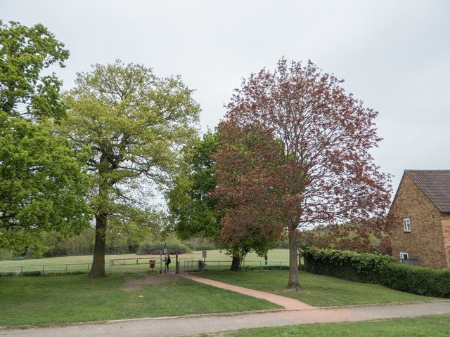
The London LOOP, a 150-mile walk round outer London, crosses the fields on Section 14 of 24, Moor Park to Hatch End. 13, 731, 747 It enters by a green metal barrier on Sandy Lane, near the Sandy Lodge Lane junction, and leaves by a kissing gate onto Ashburnham Drive.
Close by
Buildings
- Hallowes Crescent shops 70 m
- The Crescent Club (site) 110 m
- Salvation Army hut (site) 120 m
- Oxhey Woods Local Nature Reserve 170 m
- The Jet (site) 450 m
Ancient woods
- Hampermill Spring and Round Spring 110 m
- Oxhey Woods, northern part (Old and Young Hangings, Little Furze Field, The Plantation) 170 m
- Big Wood 220 m
Walk stops
- Ashburnham Drive entrance 50 m
The lost golf course walk - Hallowes Crescent shops 70 m
Streets of 1947 to 1953 walk - Round Spring and Hampermill Spring 220 m
The lost golf course walk
Distances are in a straight line from a point on the street.